MyTopo
Belgrade SW Nebraska US Topo Map
Couldn't load pickup availability
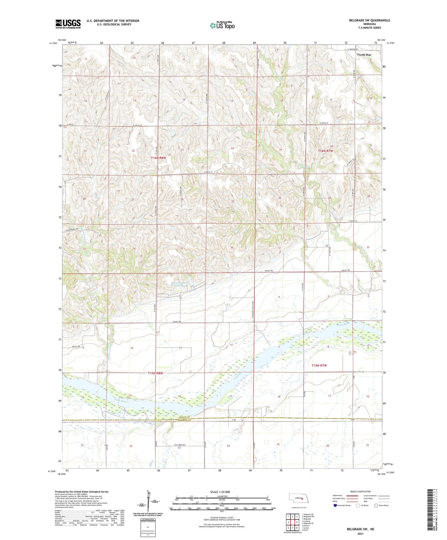
2021 topographic map quadrangle Belgrade SW in the state of Nebraska. Scale: 1:24000. Based on the newly updated USGS 7.5' US Topo map series, this map is in the following counties: Nance, Merrick. The map contains contour data, water features, and other items you are used to seeing on USGS maps, but also has updated roads and other features. This is the next generation of topographic maps. Printed on high-quality waterproof paper with UV fade-resistant inks.
Quads adjacent to this one:
West: Cushing
Northwest: Wolbach NE
North: Belgrade NW
Northeast: Belgrade
East: Belgrade SE
Southeast: Hord
South: Archer
Southwest: Palmer
This map covers the same area as the classic USGS quad with code o41098c2.
Contains the following named places: Cottonwood Creek, Davis Brothers Dam, Davis Brothers Reservoir, Elk Creek, Glenwood School, Midway School, North Star, North Star Post Office, School Number 24, School Number 4, School Number 60, School Number 61, Township of Cottonwood, ZIP Code: 68864