MyTopo
Onawa SW Iowa US Topo Map
Couldn't load pickup availability
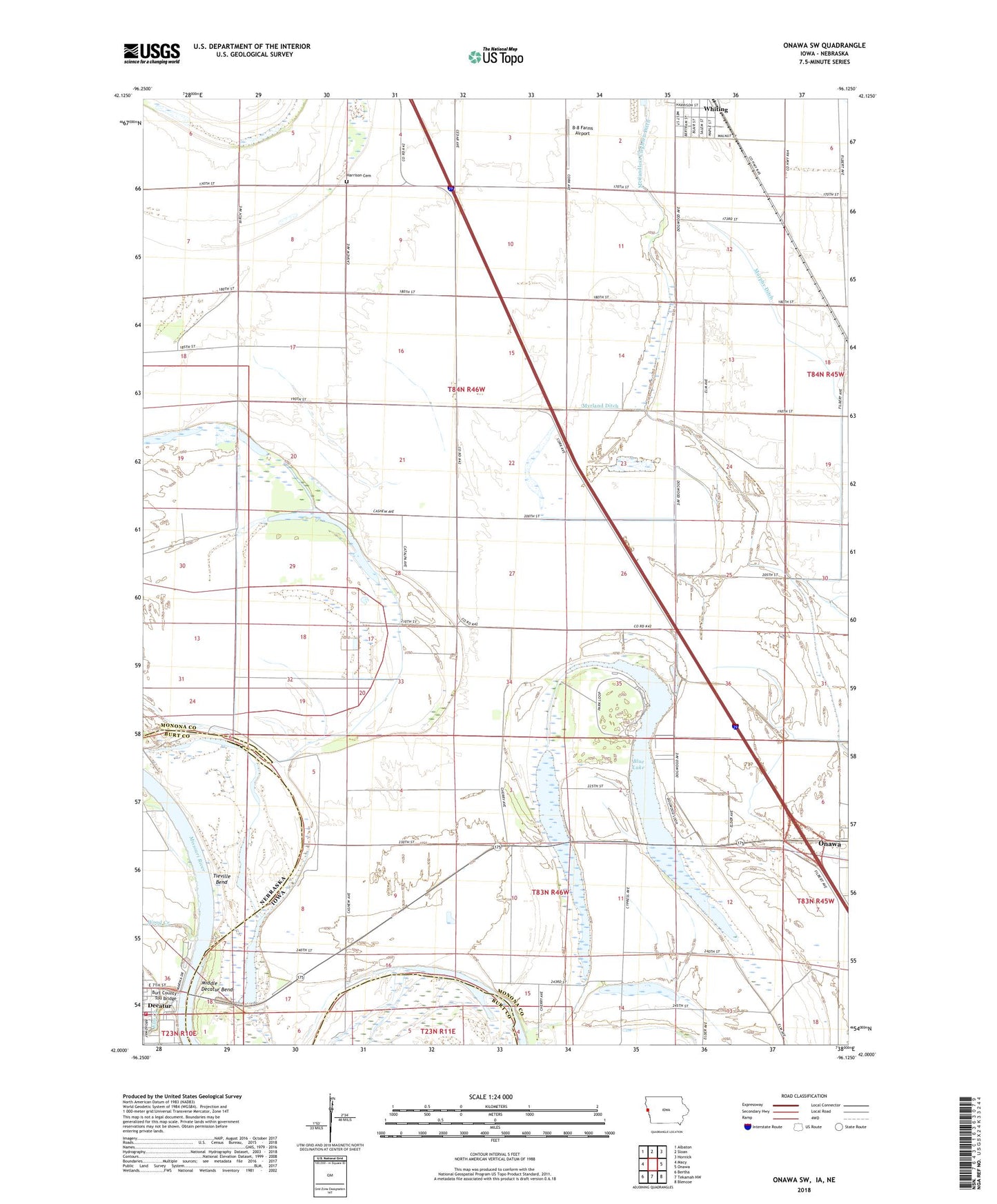
2022 topographic map quadrangle Onawa SW in the states of Iowa, Nebraska. Scale: 1:24000. Based on the newly updated USGS 7.5' US Topo map series, this map is in the following counties: Monona, Burt. The map contains contour data, water features, and other items you are used to seeing on USGS maps, but also has updated roads and other features. This is the next generation of topographic maps. Printed on high-quality waterproof paper with UV fade-resistant inks.
Quads adjacent to this one:
West: Macy
Northwest: Albaton
North: Sloan
Northeast: Hornick
East: Onawa
Southeast: Blencoe
South: Tekamah NW
Southwest: Bertha
Contains the following named places: B-8 Farms Airport, Beck Memorial Park, Beck Memorial Park Campground, Blue Lake, Blue Lake Public Hunting Area, Burgess Family Clinic, Burt County Toll Bridge, Decatur, Decatur Bend Park, Decatur Police Department, Decatur Rural Volunteer Fire and Rescue, Elm Creek, Harrison Cemetery, Holy Family Catholic Church, Interchange RV Campgrounds, KOOO-FM (Onawa), Lewis and Clark State Park, Maple Landing, Maple Landing Post Office, McCandless Cleghorn Ditch, Middle Decatur Bend, Middle Decatur Bend State Wildlife Management Area, Murphy Ditch, Myrland Ditch, Nebowa Camp, Onawa Materials Yard Wildlife Area, Onawa/Blue Lake KOA Campground, Reorganized Church of Jesus Christ of Latter Day Saints, Silver Lake, Site of Lewis and Clark Camp Historical Marker, Tieville, Tieville Bend, Tieville Post Office, Township of Lincoln, Trinity Lutheran Church, United Methodist Church, Village of Decatur, Wood Creek, Word of Life Chapel