MyTopo
Macy Nebraska US Topo Map
Couldn't load pickup availability
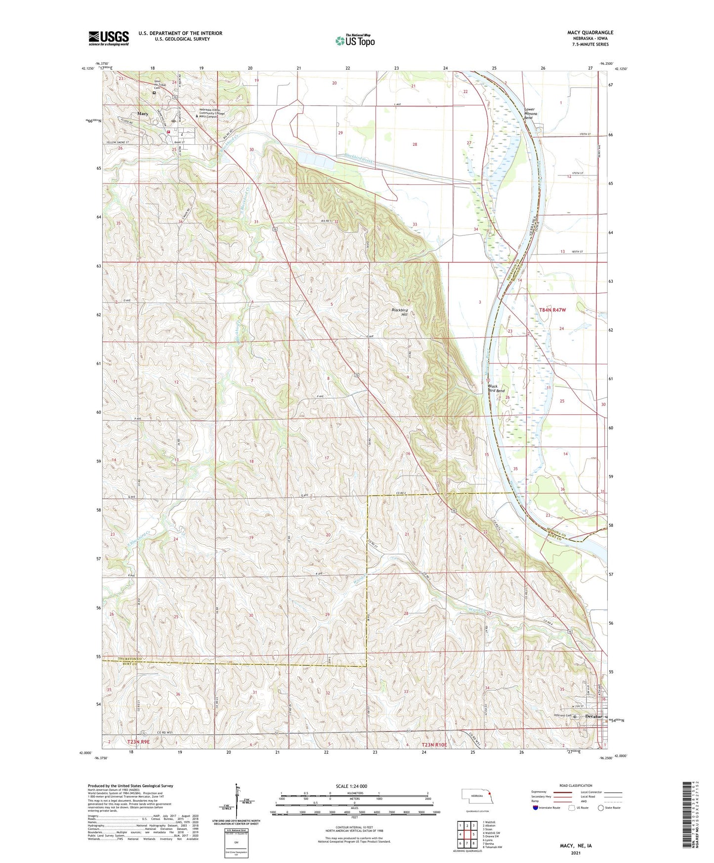
2021 topographic map quadrangle Macy in the states of Nebraska, Iowa. Scale: 1:24000. Based on the newly updated USGS 7.5' US Topo map series, this map is in the following counties: Thurston, Burt, Monona. The map contains contour data, water features, and other items you are used to seeing on USGS maps, but also has updated roads and other features. This is the next generation of topographic maps. Printed on high-quality waterproof paper with UV fade-resistant inks.
Quads adjacent to this one:
West: Walthill SW
Northwest: Walthill
North: Albaton
Northeast: Sloan
East: Onawa SW
Southeast: Tekamah NW
South: Bertha
Southwest: Lyons
This map covers the same area as the classic USGS quad with code o42096a3.
Contains the following named places: Badger Lake, Basford, Basford Post Office, Black Bird Bend, Blackbird Creek, Blackbird Hill, Blackbird/Ivy Island Wildlife Area, Decatur Post Office, Dialysis Clinic, First Reformed Church, Hillcrest Cemetery, Lighthouse Marina and Campground, Lighthouse Marine and Campground, Lower Monona Bend, Macy, Macy Census Designated Place, Macy Post Office, Macy Public Schools, Macy Volunteer Fire Department, Nebraska Indian Community College - Macy Campus, Nebraska Indian Community College Library, North Blackbird Creek, Northeast Elementary School - Decatur, Omaha Tribal Police Department, Omaha Tribal Rescue, Omaha Tribe Historical Marker, Omaha Tribe Mental Health Center, Our Lady of Fatima Catholic Church, School Number 14, School Number 23, School Number 32, School Number 39, South Blackbird Creek, The Church of Jesus Christ of Latter Day Saints, Township of Anderson, Umo Ho Tribal Cemetery, ZIP Code: 68039