MyTopo
Hastings West Nebraska US Topo Map
Couldn't load pickup availability
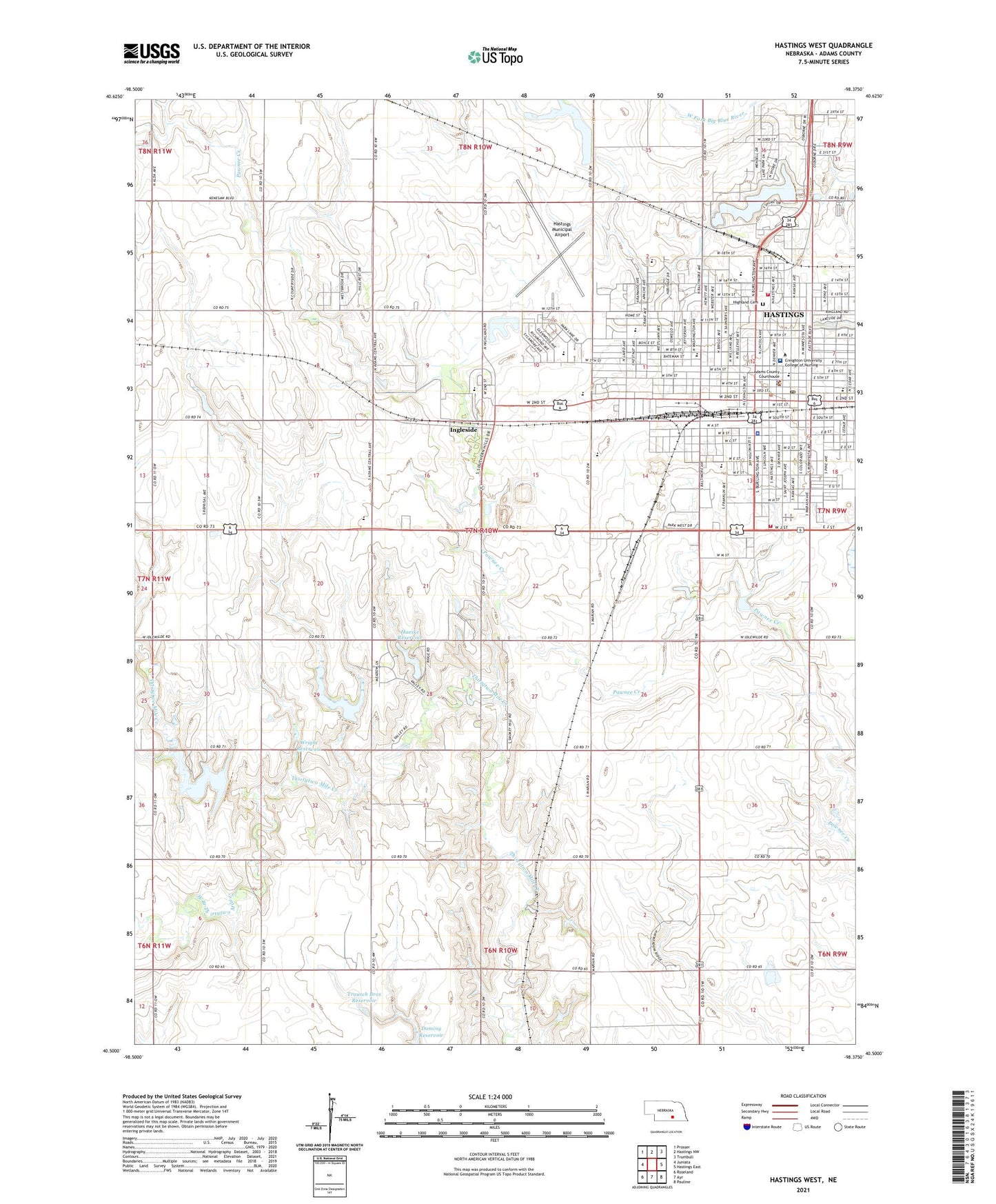
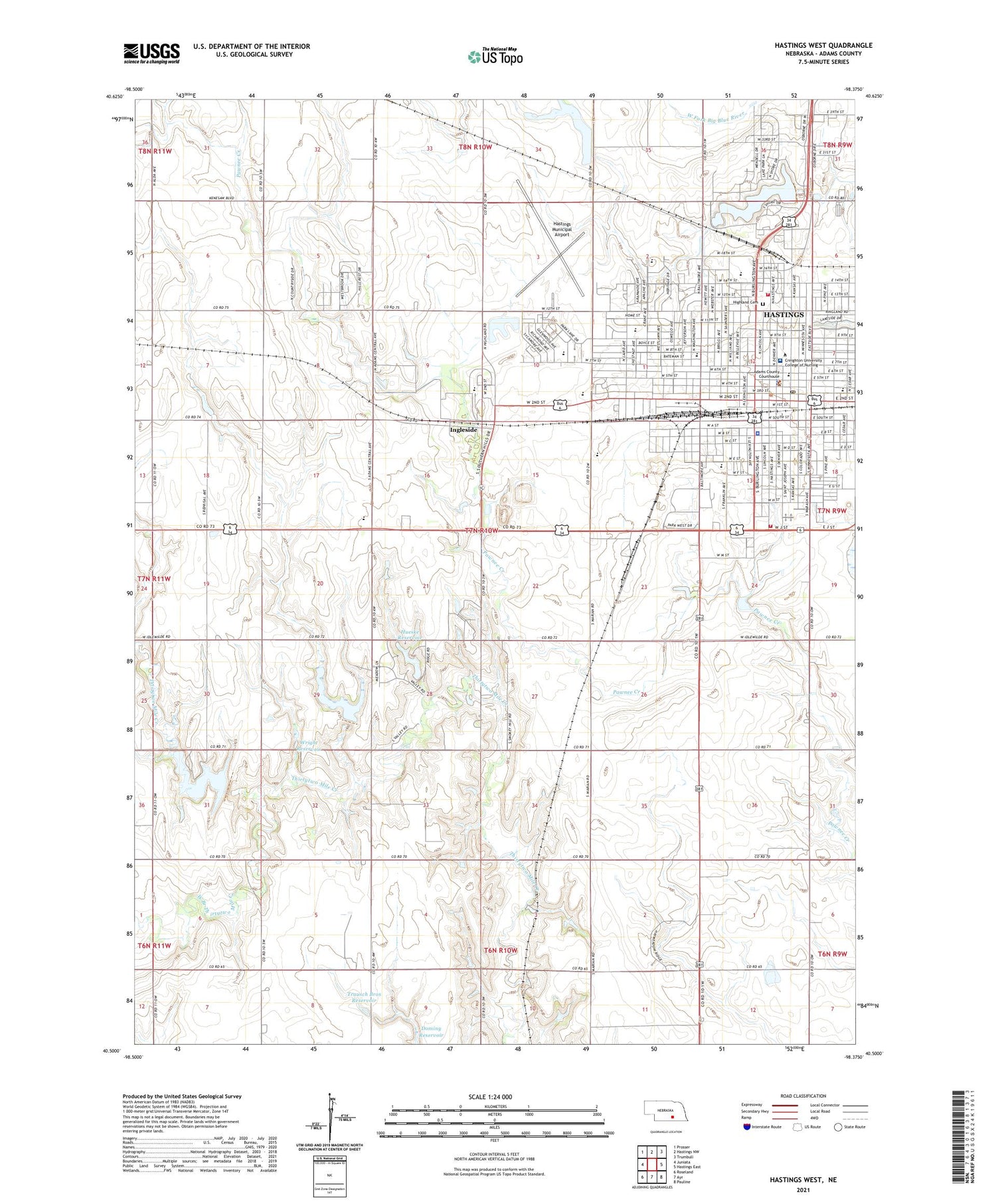
2021 topographic map quadrangle Hastings West in the state of Nebraska. Scale: 1:24000. Based on the newly updated USGS 7.5' US Topo map series, this map is in the following counties: Adams. The map contains contour data, water features, and other items you are used to seeing on USGS maps, but also has updated roads and other features. This is the next generation of topographic maps. Printed on high-quality waterproof paper with UV fade-resistant inks.
Quads adjacent to this one:
West: Juniata
Northwest: Prosser
North: Hastings NW
Northeast: Trumbull
East: Hastings East
Southeast: Pauline
South: Ayr
Southwest: Roseland
This map covers the same area as the classic USGS quad with code o40098e4.
Contains the following named places: Adams Central Junior-Senior High School, Adams County Chiropractic Clinic, Adams County Convention and Visitors Bureau, Adams County Courthouse, Adams County Fairgrounds, Adams County Fairgrounds Campground, Adams County Sheriff's Office, AGP Grain Cooperative Elevator, Alcott Elementary School, Alexander Park, American Legion Park, Berean Bible Church, Bonnavilla and Eastgate Mobile Home Park, Brickyard Park, Carter Park, Chatauqua Pavilion, Church of Christ, Church of Christ South Street, Church of the Nazarene, City of Hastings, Community Health Center, Congregational New York Avenue Church, Cooperative Producers Incorporated Elevator, Countryside Parks, Crosier Asmat Museum, Crosier Monastery, Crosier Park, Duncan Field, Dutton-Lainson Plaza, Evangelical Free Church, Faith Lutheran Church, First Assembly of God Church, First Baptist Church, First Christian Church, First Church of God, First Congregational United Church of Christ, First Presbyterian Church, First United Methodist Church, Fisher Fountain, Garvey Elevators Incorporated Elevator, Grace United Methodist Church, Hansen House, Harms Park, Hastings, Hastings Dam, Hastings Family Practice, Hastings Fire and Rescue Deparartment Highland Park Station, Hastings Fire and Rescue Department Lincoln Park Station, Hastings Fire Department Lincoln Park Station, Hastings Heart Institute, Hastings KOA Campground, Hastings Medical Park, Hastings Middle School, Hastings Municipal Airport, Hastings Museum, Hastings Nw Dam, Hastings Nw Reservoir, Hastings Orthopaedic Association, Hastings Podiatry Clinic, Hastings Police Department, Hastings Post Office, Hastings Public Library, Hastings Radiology Associates PC Building, Hastings Recreation Complex, Hastings Regional Center, Hastings Rural Fire Department Highland Park Station, Hastings Sanitary Landfill, Hastings Senior High School, Hawthorne Elementary School, Heartland Co-op Elevator, Heartwell Park, Highland Cemetery, Highland Park, Hueske Dam, Hueske Reservoir, Immanuel Church, Imperial Mall, Industrial Park North, Industrial Park West, Ingleside, Keystone Baptist Church, KHAS-AM (Hastings), Kingdom Hall of Jehovah Witnesses, Lake Hastings, Lake Hastings Park, Libs Park, Light of the World Ministries, Lincoln Elementary School, Lincoln Park, Living Faith Center, Longfellow Elementary School, Lutheran Church of Good Shepherd, Mary Lanning Healthcare, McBride Vision Clinic, Morton Elementary School, Oswego Park, Peace Lutheran Church, Pentecostal Temple, Prairie Lake, Prairie Lake State Recreation Area, Prairie Odyssey Sculpture, Prairie Ridge Park, Prospect Park, Raymond A Watson Elementary School, Redeemer Lutheran Church, Rural - Metro Corporation, Saint Cecilias Church, Saint Cecilias School, Saint Marks Episcopal Pro-Cathedral Church, Saint Michael Elementary School, Saint Michaels Church, Saint Pauls Lutheran Church, Salvation Army Church, Second Presbyterian Church, Seventh Day Adventist Church, Shady Lane Trailer Court, Smittys Mobile Home Plaza, South Central Behavioral Service, Southern Hills Country Club, Spencer Park, Stone Health Center, The Church of Jesus Christ of Latter Day Saints, The Kensington, Thirty-two Mile Creek, Thirty-Two Mile Creek Dam H, Thirty-Two Mile Creek Dam J, Thirty-Two Mile Creek Reservoir, Township of Denver, Trausch Bros Dam, Trausch Bros Reservoir, United Pentecostal Church, Utilities Park, Wallace School, West Branch Thirtytwo Mile Creek, Wright Dam, Wright Reservoir, Zion Lutheran Church, Zion Lutheran Elementary School


