MyTopo
Onawa Iowa US Topo Map
Couldn't load pickup availability
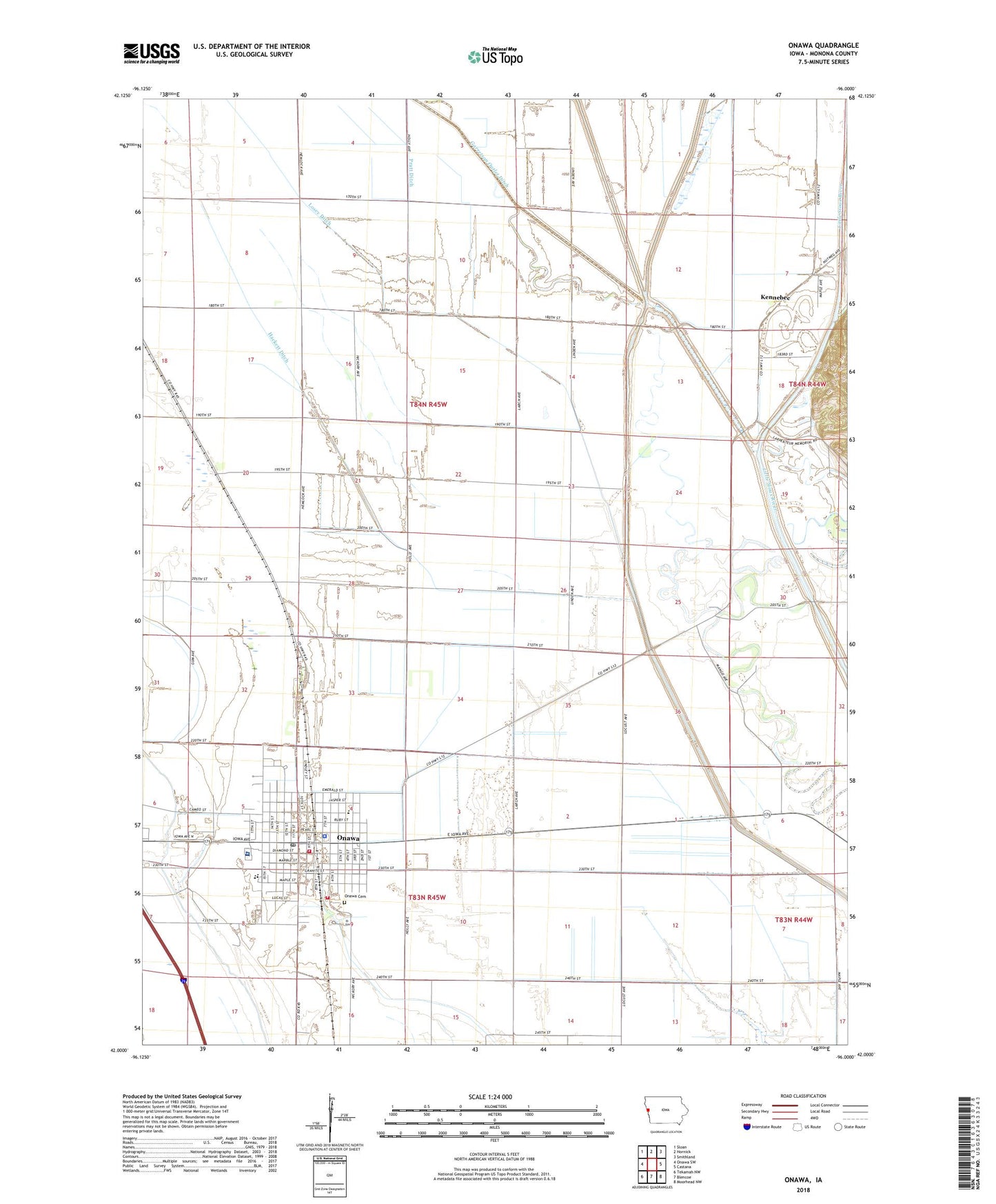
2022 topographic map quadrangle Onawa in the state of Iowa. Scale: 1:24000. Based on the newly updated USGS 7.5' US Topo map series, this map is in the following counties: Monona. The map contains contour data, water features, and other items you are used to seeing on USGS maps, but also has updated roads and other features. This is the next generation of topographic maps. Printed on high-quality waterproof paper with UV fade-resistant inks.
Quads adjacent to this one:
West: Onawa SW
Northwest: Sloan
North: Hornick
Northeast: Smithland
East: Castana
Southeast: Moorhead NW
South: Blencoe
Southwest: Tekamah NW
This map covers the same area as the classic USGS quad with code o42096a1.
Contains the following named places: Ashton, Burgess Health Medical Center, Burgess Memorial Hospital Heliport, Central Elementary School, City of Onawa, Community of Christ Church, Congregational Church, Elmwood Care Center, Evangelical Free Church, Faith Lutheran Church, Family Medical Clinic, First Christian Church, Franklin Number Seven School, Gard Creek, Gaukel Park, Hackett Ditch, Kennebec, Kennebec Post Office, Kingdom Hall of Jehovahs Witnesses, Kiwanis Museum Complex, Liberty Park, Losey Ditch, Monona County Arboretum, Monona County Courthouse, Monona County Fairgrounds, Monona County Historical Museum, Monona County Sheriff's Office, Monona County Veterans Memorial Museum, Onawa, Onawa Cemetery, Onawa Country Club, Onawa Family Dentistry Center, Onawa Fire Department Station 2, Onawa Municipal Airport, Onawa Police Department, Onawa Post Office, Onawa Public Library, Onawa Volunteer Fire Department, Pratt Ditch, Ropes Park, Saint John's Catholic Church, Seventh Day Adventist Church, Township of Ashton, United Methodist Church, United Pentecostal Church, West Monona Elementary School, West Monona High School, West Monona Middle School, ZIP Code: 51040