MyTopo
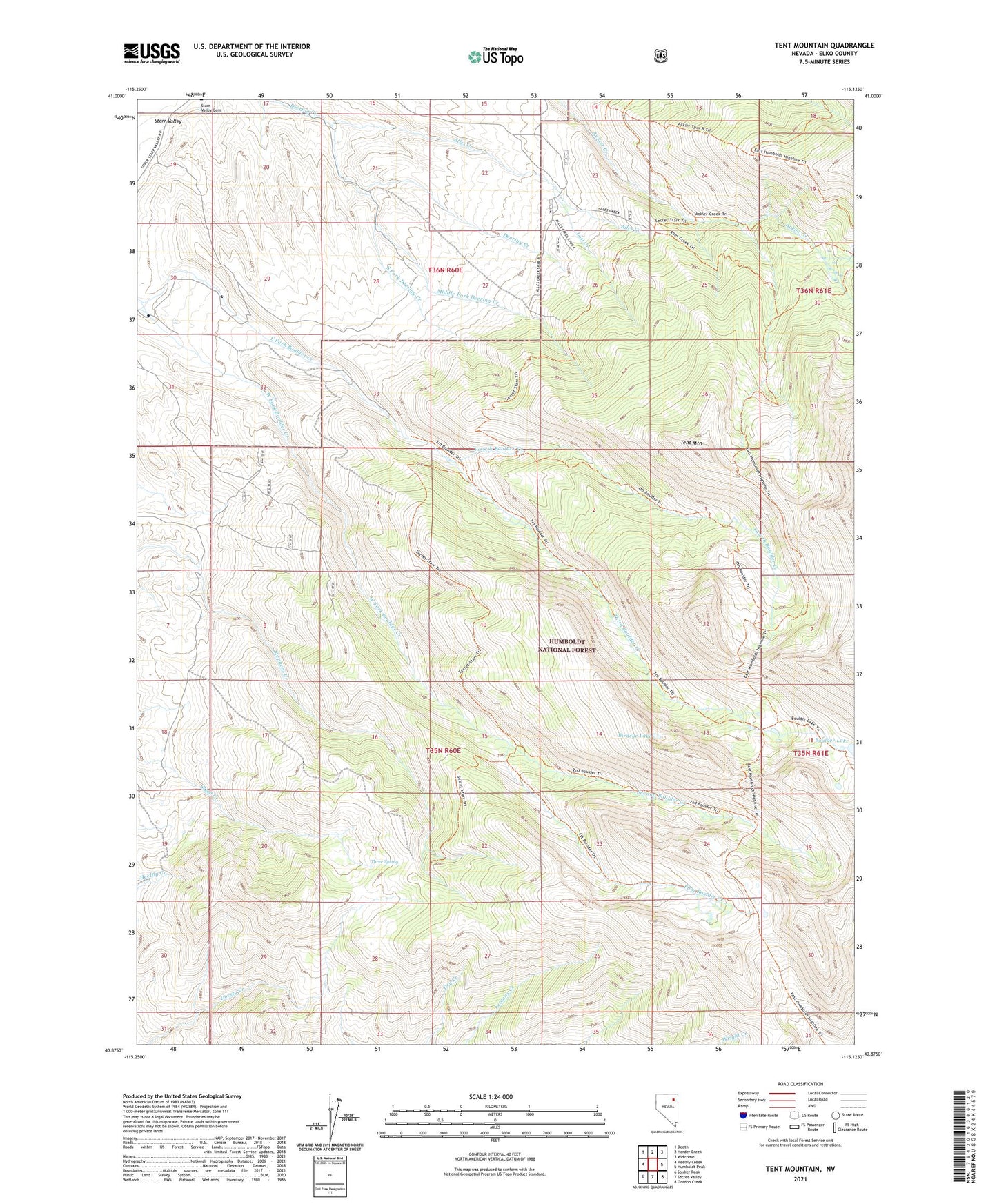
Tent Mountain Nevada US Topo Map
Couldn't load pickup availability
Also explore the Tent Mountain Forest Service Topo of this same quad for updated USFS data
2021 topographic map quadrangle Tent Mountain in the state of Nevada. Scale: 1:24000. Based on the newly updated USGS 7.5' US Topo map series, this map is in the following counties: Elko. The map contains contour data, water features, and other items you are used to seeing on USGS maps, but also has updated roads and other features. This is the next generation of topographic maps. Printed on high-quality waterproof paper with UV fade-resistant inks.
Quads adjacent to this one:
West: Heelfly Creek
Northwest: Deeth
North: Herder Creek
Northeast: Welcome
East: Humboldt Peak
Southeast: Gordon Creek
South: Secret Valley
Southwest: Soldier Peak
This map covers the same area as the classic USGS quad with code o40115h2.
Contains the following named places: Alles Creek, Birdeye Lake, Boulder Lake, East Fork Boulder Creek, First Boulder Creek, Fourth Boulder Creek, Lost Creek, Middle Fork Deering Creek, Second Boulder Creek, South Fork Deering Creek, Tent Mountain, Third Boulder Creek, Three Spring, West Fork Boulder Creek