MyTopo
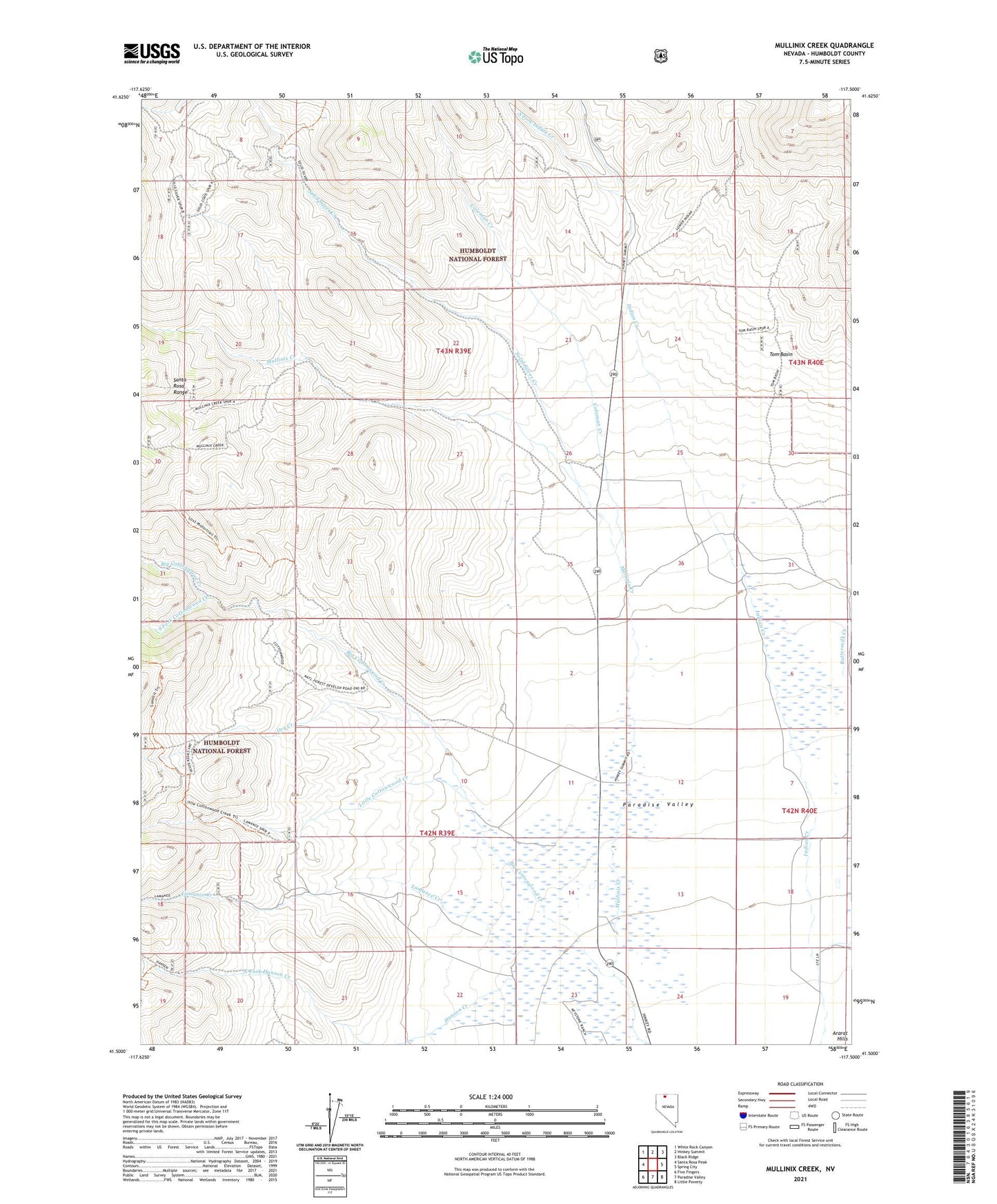
Mullinix Creek Nevada US Topo Map
Couldn't load pickup availability
Also explore the Mullinix Creek Forest Service Topo of this same quad for updated USFS data
2021 topographic map quadrangle Mullinix Creek in the state of Nevada. Scale: 1:24000. Based on the newly updated USGS 7.5' US Topo map series, this map is in the following counties: Humboldt. The map contains contour data, water features, and other items you are used to seeing on USGS maps, but also has updated roads and other features. This is the next generation of topographic maps. Printed on high-quality waterproof paper with UV fade-resistant inks.
Quads adjacent to this one:
West: Santa Rosa Peak
Northwest: White Rock Canyon
North: Hinkey Summit
Northeast: Black Ridge
East: Spring City
Southeast: Little Poverty
South: Paradise Valley
Southwest: Five Fingers
This map covers the same area as the classic USGS quad with code o41117e5.
Contains the following named places: Buckingham Ranch, Buttermilk Creek, Camp Winfield Scott, Coleman Creek, Cottonwood Creek, Dry Creek, Hanson Creek, Indian Creek, Lamance Creek, Little Cottonwood Creek, Lye Ranch, Mullinix Creek, Pasquale Ranch, Reconzone Ranch, Schwartz Ranch, Solid Silver Creek, Solid Silver Mine, South Fork Cottonwood Creek, South Fork Indian Creek, Tom Basin