MyTopo
Wilder Creek Ranch Nevada US Topo Map
Couldn't load pickup availability
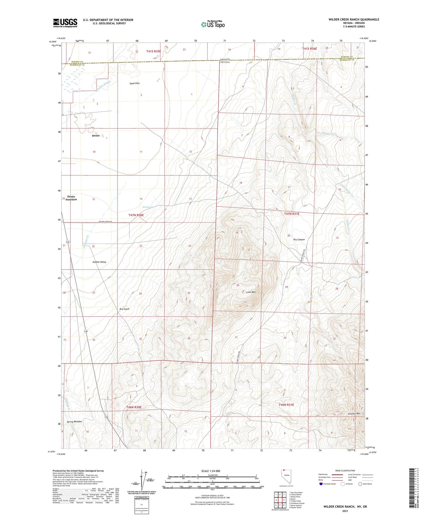
2021 topographic map quadrangle Wilder Creek Ranch in the state of Nevada. Scale: 1:24000. Based on the newly updated USGS 7.5' US Topo map series, this map is in the following counties: Humboldt, Harney. The map contains contour data, water features, and other items you are used to seeing on USGS maps, but also has updated roads and other features. This is the next generation of topographic maps. Printed on high-quality waterproof paper with UV fade-resistant inks.
Quads adjacent to this one:
West: Denio
Northwest: Van Horn Basin
North: Colony Ranch
Northeast: Windy Point
East: Trident Peak
Southeast: Shyster Butte
South: Denio Summit
Southwest: Vicksburg Canyon
Contains the following named places: Antelope Creek, Denio Junction, Dry Canyon, Dry Gulch, Little Wilder Creek, Lone Mountain, Maggie Creek, McClosky Ranch, Mud Spring, Sand Hills, Spring Meadow, Wilder Creek Ranch, Wilder Ranch Well