MyTopo
Alstead New Hampshire US Topo Map
Couldn't load pickup availability
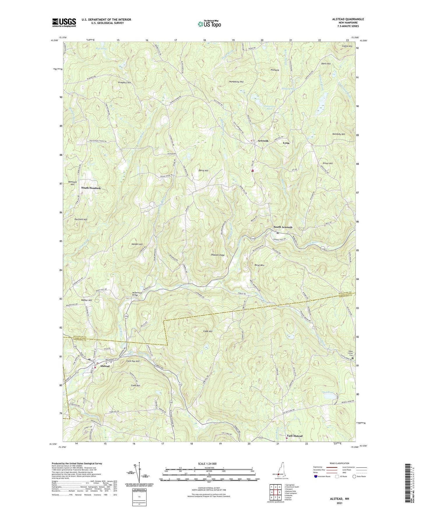
2024 topographic map quadrangle Alstead in the state of New Hampshire. Scale: 1:24000. Based on the newly updated USGS 7.5' US Topo map series, this map is in the following counties: Sullivan, Cheshire. The map contains contour data, water features, and other items you are used to seeing on USGS maps, but also has updated roads and other features. This is the next generation of topographic maps. Printed on high-quality waterproof paper with UV fade-resistant inks.
Quads adjacent to this one:
Northwest: Springfield
North: Claremont South
Northeast: Newport
East: East Lempster
Southeast: Marlow
South: Gilsum
Southwest: Walpole
This map covers the same area as the classic USGS quad with code o43072b3.
Contains the following named places: Acworth, Acworth Center School, Acworth Congregational Church, Acworth Post Office, Acworth Silsby Library, Acworth Town Common, Acworth Volunteer Fire and Rescue Company, Alstead, Alstead Fire Department East Station, Alstead Fire Department Village Station, Alstead Police Department, Alstead Post Office, Alstead Primary School, Alstead Village Third Congregational Church, Arch Pond, Baker Corner Cemetery, Beryl Mountain, Bowers Brook, Camp Brook, Chatterton Pond, Church of the Good Shepherd Universalist Society, Cobb Hill, Cock Hat Hill, Coffin Hill, Cook Hill, Crane Brook, Davis Hill, Derry Hill, Derry Hill School, East Alstead Second Congregational Church, Garfield Hill, Great Brook, Grout Hill, Hilliard Pond, Holden Hill, Humphrey Hill, Kennedy Hill, Lynn, McDermott Bridge, Milliken Brook, Mitchell Pond, Osgood Ledge, Pinnacle, Prospect Hill, Shedd-Porter Memorial Library, South Acworth, South Acworth Post Office, South Hemlock, Town of Acworth, Vilas Middle School, Vilas Pool, Vilas Pool Dam, Walker Hill, Warren Brook, ZIP Codes: 03601, 03602, 03607