MyTopo
Keene New Hampshire US Topo Map
Couldn't load pickup availability
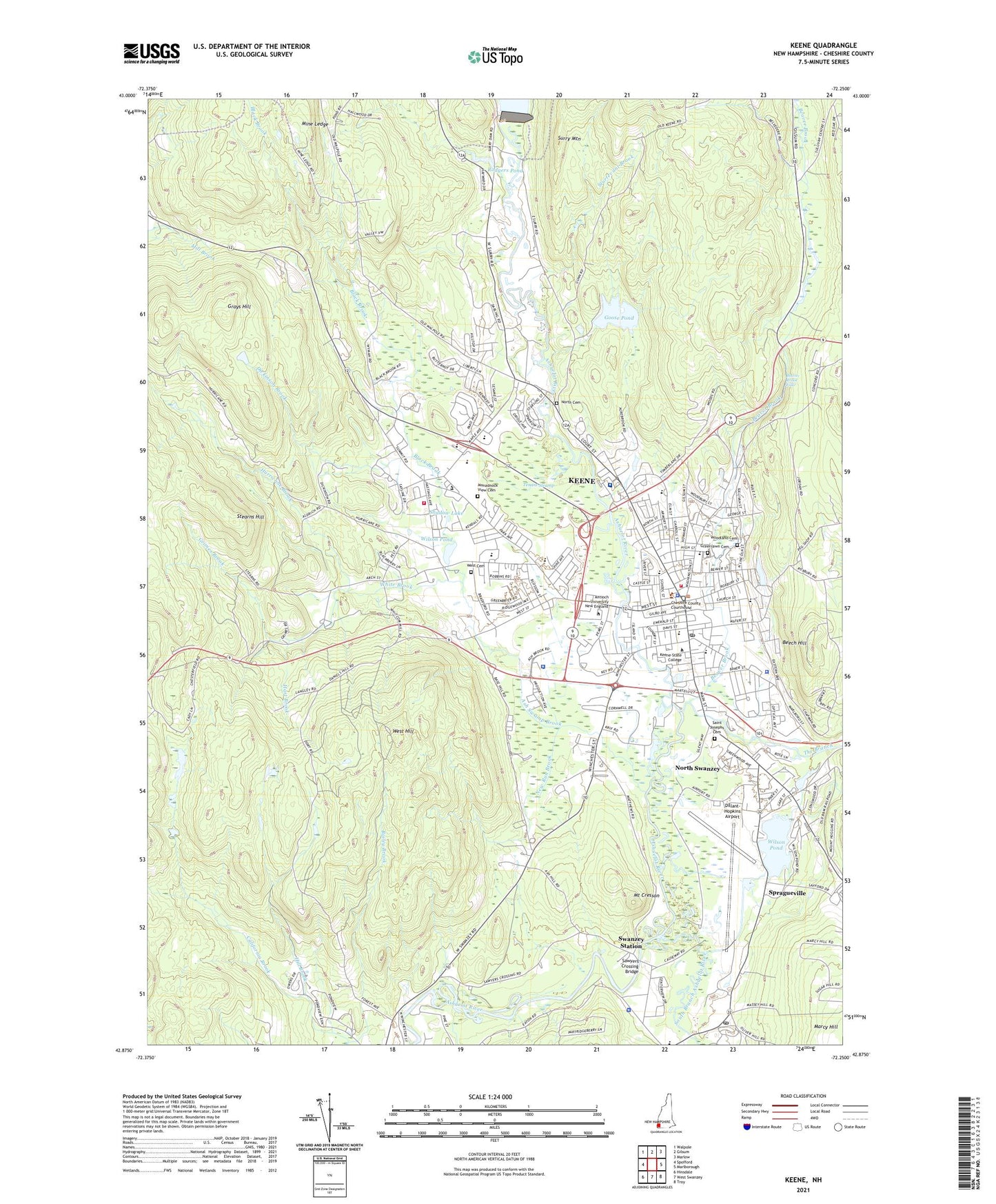
2024 topographic map quadrangle Keene in the state of New Hampshire. Scale: 1:24000. Based on the newly updated USGS 7.5' US Topo map series, this map is in the following counties: Cheshire. The map contains contour data, water features, and other items you are used to seeing on USGS maps, but also has updated roads and other features. This is the next generation of topographic maps. Printed on high-quality waterproof paper with UV fade-resistant inks.
Quads adjacent to this one:
West: Spofford
Northwest: Walpole
North: Gilsum
Northeast: Marlow
East: Marlborough
Southeast: Troy
South: West Swanzey
Southwest: Hinsdale
Contains the following named places: Alumni Field, Antioch Graduate School, Ash Swamp Brook, Ashuelot River Dam, Ashuelot River Park, Ashuelot River Reservoir, Assembly of God Church, Beaver Brook, Beaver Brook Falls, Beech Hill, Beech Hill Preserve, Beech Hill State Forest, Benjamin Franklin Elementary School, Black Brook, Black Brook Corporate Park, Bradco Industrial Park, Bretwood Golf Course, Camp Wakonda, Cedarcrest Center, Central Square, Cheshire County, Cheshire County Courthouse, Cheshire County Sheriff's Office, Cheshire Medical Center Dartmouth - Hitchcock Keene, Cheshire Medical Center Library, Chesire Career Center, Childrens Wood, Church of Christ, Church of the Nazarene, City of Keene, Colony House Museum, Colony Mill Marketplace Shopping Center, Congregation Ahavas Achim, Daniels School, Dickinson Brook, Dillant-Hopkins Airport, Drummer Hill Preserve, Elks Camp, Ells-Harrison Park, Fairbanks Plaza Shopping Center, First Baptist Church of Keene, First Church of Christ Scientist, Fuller Elementary School, Fuller Park, Goose Pond, Goose Pond Dam, Grace United Methodist Church, Grays Hill, Greater Keene Chamber of Commerce, Greenlawn Cemetery, Grimes Brook, Harper Acres, Hart Brook, Hickey-Desilets Park, Hill Brook, Hillside Acres Mobile Home Park, Historical Society of Cheshire County, Horatio Colony Trust, Hurricane Brook, Jonathan Daniels School, Joslin, Joyce Athletic Field, Keene, Keene City Hall, Keene City Park, Keene Clinic, Keene Country Club, Keene Fire Department Central Station, Keene Fire Department Station 2, Keene Forestry Park, Keene High School, Keene Industrial Park, Keene Middle School, Keene Municipal Pool, Keene Municipal Swimming Pool, Keene Police Department, Keene Post Office, Keene State College, Keene State College Soccer Field, Ladies Park, Lower Wilson Pond Dam, Maple Acres, Masonic Temple, Mine Ledge, Monadnock View Cemetery, Monadnock Waldorf School, Mount Cresson, New Hampshire State Police Troop C, New Run Brook, North Cemetery, North Swanzey, R J Diluzio Ambulance Service, Riverside Plaza Shopping Center, Robin Hood Forest, Robinhood Park Reservoir, Robinhood Park Reservoir Dam, Rodgers Pond, Rodgers Pond Dam, Roosevelt School, Saint Bernards Church, Saint George Greek Orthodox Church, Saint James Episcopal Church, Saint Joseph School, Saint Josephs Cemetery, Saint Margaret Mary Parish Church, Sawyer Tavern, Sawyers Crossing Bridge, Senior Citizens Center, Seventh Day Adventist Church, Shadow Lake, Shadow Lake Park, South Branch Ashuelot River, Spragueville, Stearns Hill, Sturtevant Brook, Sturtevant Chapel, Summer Knight Chapel, Surry Mountain Camping Area, Surry Mountain Dam, Swanzey Factory, Swanzey Post Office, Swanzey Station, Swanzey Town Police Department, Symonds Elementary School, Tanglewood Estates, Tenant Swamp, Thayer Library, The Branch, The Church of Jesus Christ of Latter Day Saints, The Dinsmoor Woods, Trinity Christian School, Trinity Lutheran Church, Unitarian-Universalist Church, United Church of Christ, United Church of Christ Library, Upper Wilson Pond, Upper Wilson Pond Dam, Wallace E Mason Library, West Cemetery, West Hill, West Street Shopping Center, Wheelock School, White Brook, Wilson Pond, WKBK-AM (Keene), WKNE-AM (Keene), WKNH-FM (Keene), Woodland Cemetery, Wyman Tavern, ZIP Code: 03431


