MyTopo
Troy New Hampshire US Topo Map
Couldn't load pickup availability
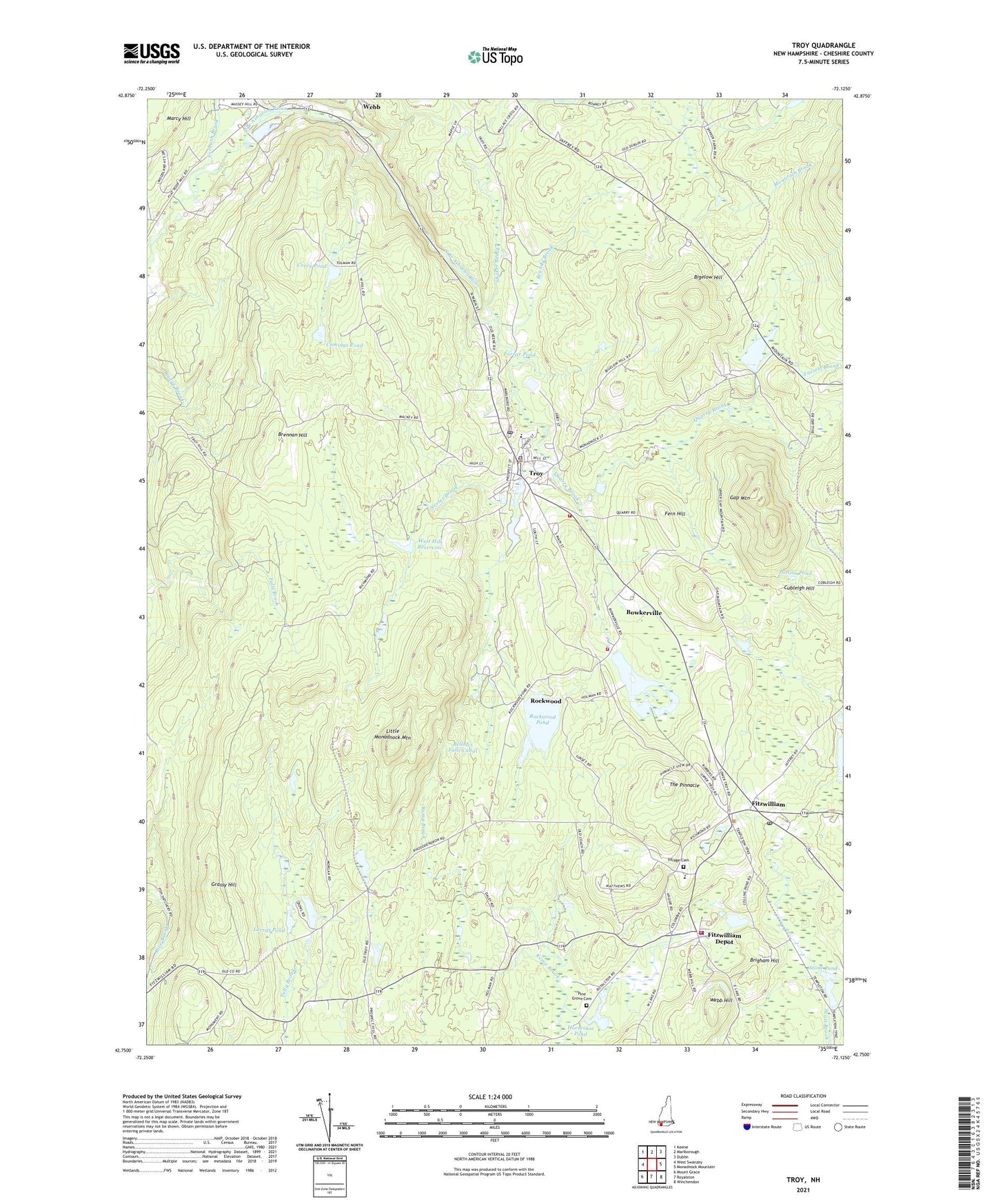
2024 topographic map quadrangle Troy in the state of New Hampshire. Scale: 1:24000. Based on the newly updated USGS 7.5' US Topo map series, this map is in the following counties: Cheshire. The map contains contour data, water features, and other items you are used to seeing on USGS maps, but also has updated roads and other features. This is the next generation of topographic maps. Printed on high-quality waterproof paper with UV fade-resistant inks.
Quads adjacent to this one:
West: West Swanzey
Northwest: Keene
North: Marlborough
Northeast: Dublin
East: Monadnock Mountain
Southeast: Winchendon
South: Royalston
Southwest: Mount Grace
This map covers the same area as the classic USGS quad with code o42072g2.
Contains the following named places: Barden State Wildlife Management Area, Beechwood Corners, Bellows Falls Canal, Bigelow Hill, Bowker Pond, Bowkerville, Bowkerville Dam, Brandy Brook, Brennan Hill, Brigham Hill, Corey Pond, Cubleigh Hill, Cumings Pond, Emerson Elementary School, Farrar Pond, Fassett Brook, Fern Hill, First Baptist Church of Troy, Fitzwilliam, Fitzwilliam Depot, Fitzwilliam Fire Department Station 1, Fitzwilliam Fire Department Substation, Fitzwilliam Post Office, Fitzwilliam Town Police Dept, Forbush Brook, Gap Mountain, Gay State Forest, Gleason Brook, Grassy Hill, Horseshoe Pond, Horseshoe Pond Dam, Immaculate Conception Church, Larrys Pond, Larrys Pond Dam, Little Monadnock Mountain, Marlboro Trail, Meadowood County Area Fire Department, Nester Brook, Perkins Pond, Pine Grove Cemetery, Potters Pond, Quarry Brook, Rhododendron State Park, Richmond Wildlife Manangement Area, Rockwood, Rockwood Pond, Rockwood Pond Dam, Shaker Brook, Stone Pond, Stone Pond Dam, The Pinnacle, Town of Fitzwilliam, Town of Troy, Troy, Troy Ambulance, Troy Census Designated Place, Troy Congregational Church, Troy Elementary School, Troy Fire Department, Troy Police Dept, Troy Post Office, Troy Town Hall, Village Cemetery, Webb, Webb Hill, West Hill Reservoir, ZIP Codes: 03447, 03465


