MyTopo
Bustos Well New Mexico US Topo Map
Couldn't load pickup availability
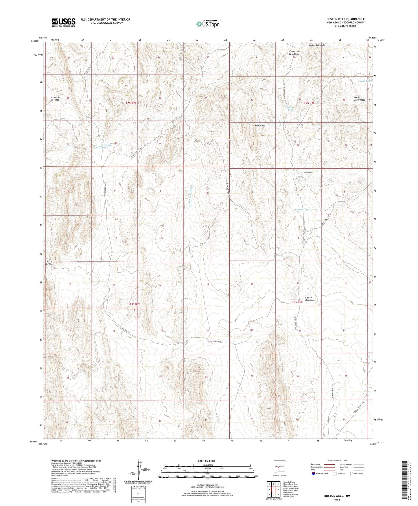
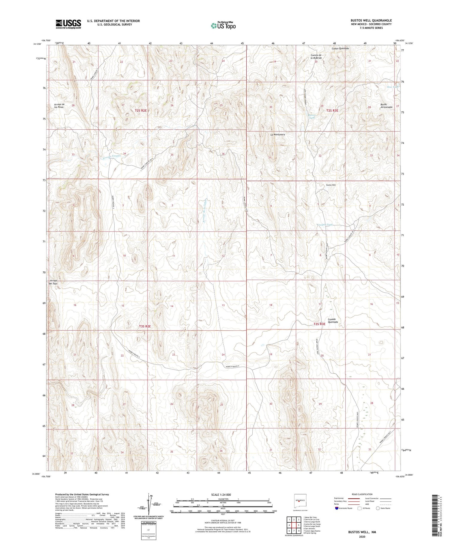
2023 topographic map quadrangle Bustos Well in the state of New Mexico. Scale: 1:24000. Based on the newly updated USGS 7.5' US Topo map series, this map is in the following counties: Socorro. The map contains contour data, water features, and other items you are used to seeing on USGS maps, but also has updated roads and other features. This is the next generation of topographic maps. Printed on high-quality waterproof paper with UV fade-resistant inks.
Quads adjacent to this one:
West: Loma De Las Canas
Northwest: Mesa Del Yeso
North: Sierra De La Cruz
Northeast: Sierra Larga North
East: Sierra Larga South
Southeast: Prairie Spring
South: Canon Agua Buena
Southwest: San Antonio
This map covers the same area as the classic USGS quad with code o34106a6.
Contains the following named places: Arroyo de las Canas, Bustos Tank, Bustos Well, Crespin Tank, Jornada Detention Dam, La Montonera, New Tank, Taylor Well