
MyTopo
Sierra De La Cruz New Mexico US Topo Map
Couldn't load pickup availability
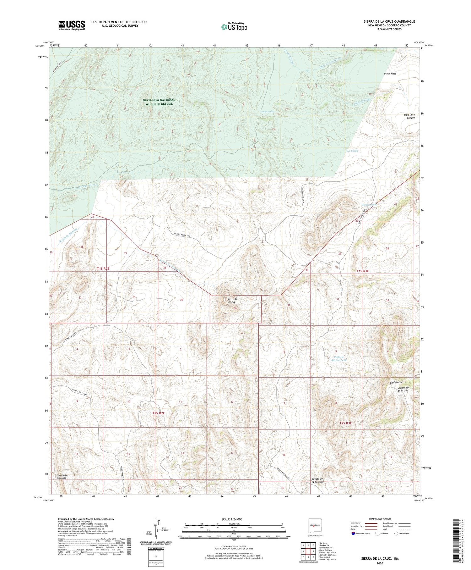
2023 topographic map quadrangle Sierra De La Cruz in the state of New Mexico. Scale: 1:24000. Based on the newly updated USGS 7.5' US Topo map series, this map is in the following counties: Socorro. The map contains contour data, water features, and other items you are used to seeing on USGS maps, but also has updated roads and other features. This is the next generation of topographic maps. Printed on high-quality waterproof paper with UV fade-resistant inks.
Quads adjacent to this one:
West: Mesa Del Yeso
Northwest: La Joya
North: Becker SW
Northeast: Cerro Montoso
East: Sierra Larga North
Southeast: Sierra Larga South
South: Bustos Well
Southwest: Loma De Las Canas
This map covers the same area as the classic USGS quad with code o34106b6.
Contains the following named places: Agua de los Torres, Buffalo Water Well, Buffalo Well, Cibola Spring, Cuesta de la McBride, Donnis Tank, Gallina Well, La Caida, La Cebolla, Milagro Well, Partition Well, Rancho Grande Well, Sierra de la Cruz, Stapleton Well, Tomas Baca Well, Valle de Adrian Tank


