MyTopo
Canada Ojitos New Mexico US Topo Map
Couldn't load pickup availability
Also explore the Canada Ojitos Forest Service Topo of this same quad for updated USFS data
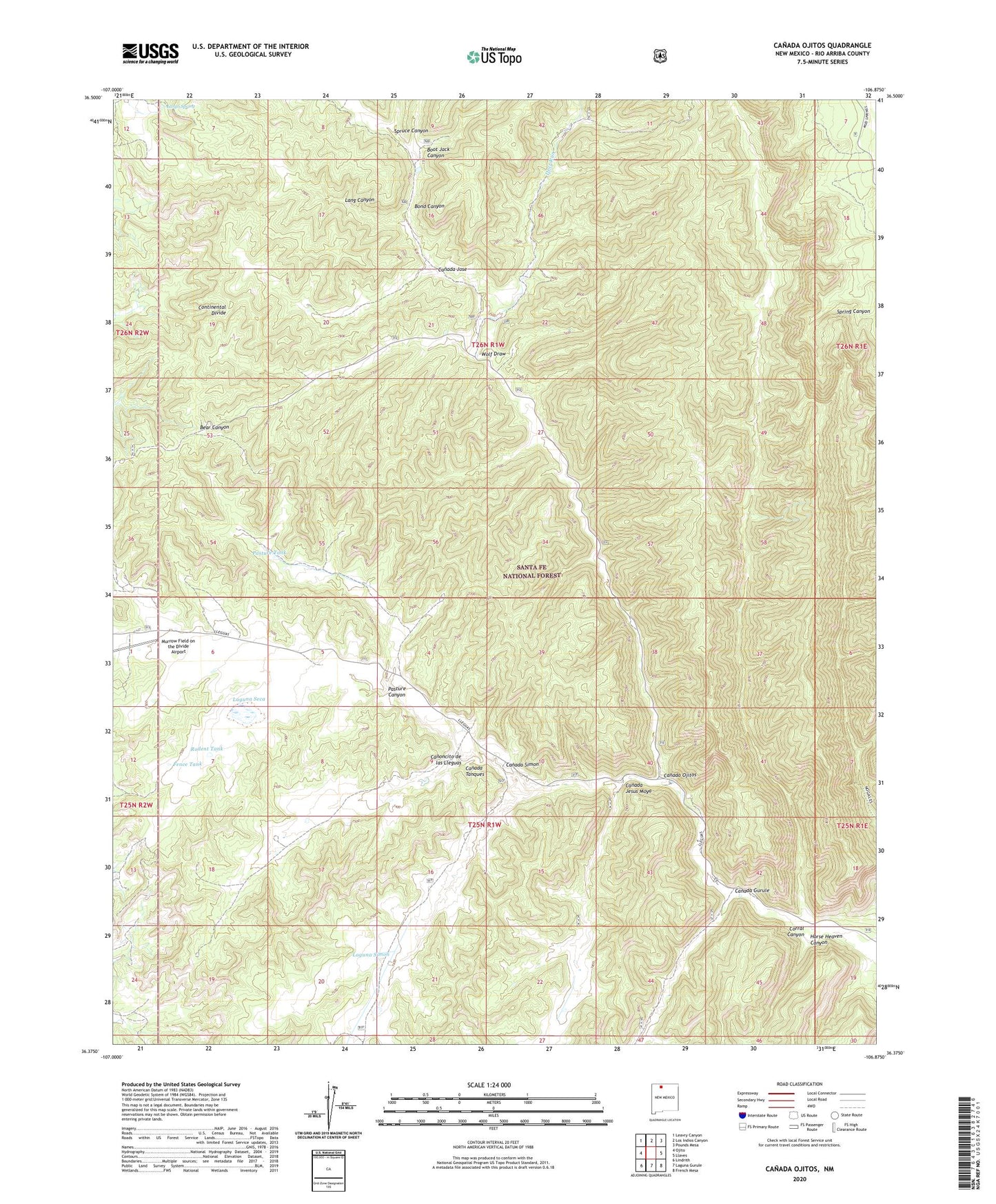
2023 topographic map quadrangle Canada Ojitos in the state of New Mexico. Scale: 1:24000. Based on the newly updated USGS 7.5' US Topo map series, this map is in the following counties: Rio Arriba. The map contains contour data, water features, and other items you are used to seeing on USGS maps, but also has updated roads and other features. This is the next generation of topographic maps. Printed on high-quality waterproof paper with UV fade-resistant inks.
Quads adjacent to this one:
West: Ojito
Northwest: Leavry Canyon
North: Los Indios Canyon
Northeast: Pounds Mesa
East: Llaves
Southeast: French Mesa
South: Laguna Gurule
Southwest: Lindrith
This map covers the same area as the classic USGS quad with code o36106d8.
Contains the following named places: Bond Canyon, Boot Jack Canyon, Canada Gurule, Canada Jesus Moya, Canada Jose, Canada Ojitos, Canada Simon, Canada Tanques, Collins Ranch, Corral Canyon, Corral Tank, Deer Run, Fence Tank, Horse Heaven Canyon, Laguna Seca, Laguna Simon, Lang Canyon, Largo Spring, Pasture Canyon, Pasture Tank, Rodent Tank, Spruce Canyon, Syphers Ranch, Tanques Water Well, Wolf Draw, Young Prospect, ZIP Code: 87029