MyTopo
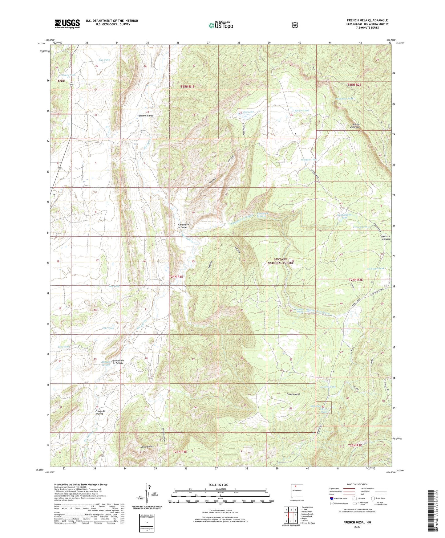
French Mesa New Mexico US Topo Map
Couldn't load pickup availability
Also explore the French Mesa Forest Service Topo of this same quad for updated USFS data
2023 topographic map quadrangle French Mesa in the state of New Mexico. Scale: 1:24000. Based on the newly updated USGS 7.5' US Topo map series, this map is in the following counties: Rio Arriba. The map contains contour data, water features, and other items you are used to seeing on USGS maps, but also has updated roads and other features. This is the next generation of topographic maps. Printed on high-quality waterproof paper with UV fade-resistant inks.
Quads adjacent to this one:
West: Laguna Gurule
Northwest: Canada Ojitos
North: Llaves
Northeast: Navajo Peak
East: Laguna Peak
Southeast: Arroyo Del Agua
South: Gallina
Southwest: Regina
This map covers the same area as the classic USGS quad with code o36106c7.
Contains the following named places: Almagre Arroyo, Arroyo Blanco, Boundary Tank, Canada de la Cueva, Canada de la Tableta, Canon de Chavez, Castle of the Chama Historic Site, Cerro Blanco, Cher Tank, Dan Tank, Dry Lake, Ferran Tank, French Mesa, Guadalupita Tank, Jim Tank, Junior Tank, La Cueva Tank, La Jara Tank, Leandro Spring, Llaves, Llaves Post Office, Llaves Tank, Northcutt, Ojo la Jara, Prospect Tank, Rincon Colorado, Rincon Tank, Steve Tank, Tom Tank, Tonya Tank, Wendy Tank, ZIP Code: 87017