MyTopo
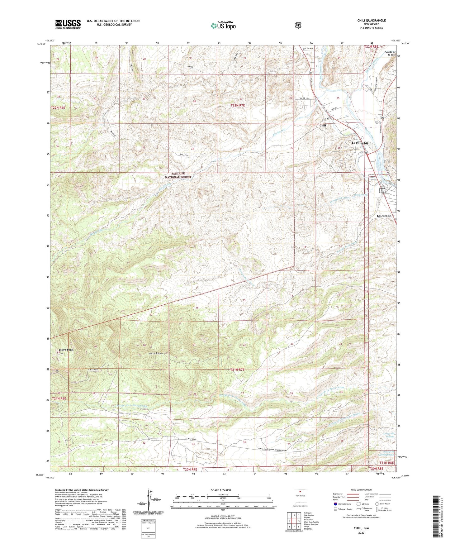
Chili New Mexico US Topo Map
Couldn't load pickup availability
Also explore the Chili Forest Service Topo of this same quad for updated USFS data
2023 topographic map quadrangle Chili in the state of New Mexico. Scale: 1:24000. Based on the newly updated USGS 7.5' US Topo map series, this map is in the following counties: Rio Arriba, Sandoval. The map contains contour data, water features, and other items you are used to seeing on USGS maps, but also has updated roads and other features. This is the next generation of topographic maps. Printed on high-quality waterproof paper with UV fade-resistant inks.
Quads adjacent to this one:
West: Vallecitos
Northwest: Abiquiu
North: Medanales
Northeast: Lyden
East: San Juan Pueblo
Southeast: Espanola
South: Puye
Southwest: Guaje Mountain
This map covers the same area as the classic USGS quad with code o36106a2.
Contains the following named places: Arroyo de la Presa, Arroyo del Ojitos, Arroyo del Palacio, Bartolome Sanchez Grant, Cerrito de la Baca, Cerro Roman, Chili, Chili Catholic Cemetery, Chili Census Designated Place, Chili Ditch, Clara Peak, Clara Peak Trick Tank, Cupar Mine, El Duende Census Designated Place, El Palacio Ranch, Henry Spring, Immaculate Conception Church, La Canada del Almagre, La Chuachia, La Chuachia Census Designated Place, Lemitas Trail, Palacio Trail, Pit 67-23-5, RG-14729 Water Well, RG-15798 Water Well, RG-1607 Water Well, RG-17211 Water Well, RG-21083 Water Well, RG-22888 Water Well, RG-26149 Water Well, RG-26659 Water Well, RG-27415 Water Well, RG-27605 Water Well, RG-27693 Water Well, RG-28297 Water Well, RG-29007 Water Well, RG-30520 Water Well, RG-30781 Water Well, RG-5858 Water Well, RG-7118 Water Well, Rhodes Diatomite Pit, Rio del Oso, Rio Ojo Caliente, Santa Clara Pumice Pit 1, Santa Clara Pumice Pit 2, Sebastian and Martin Pit, ZIP Code: 87537


