MyTopo
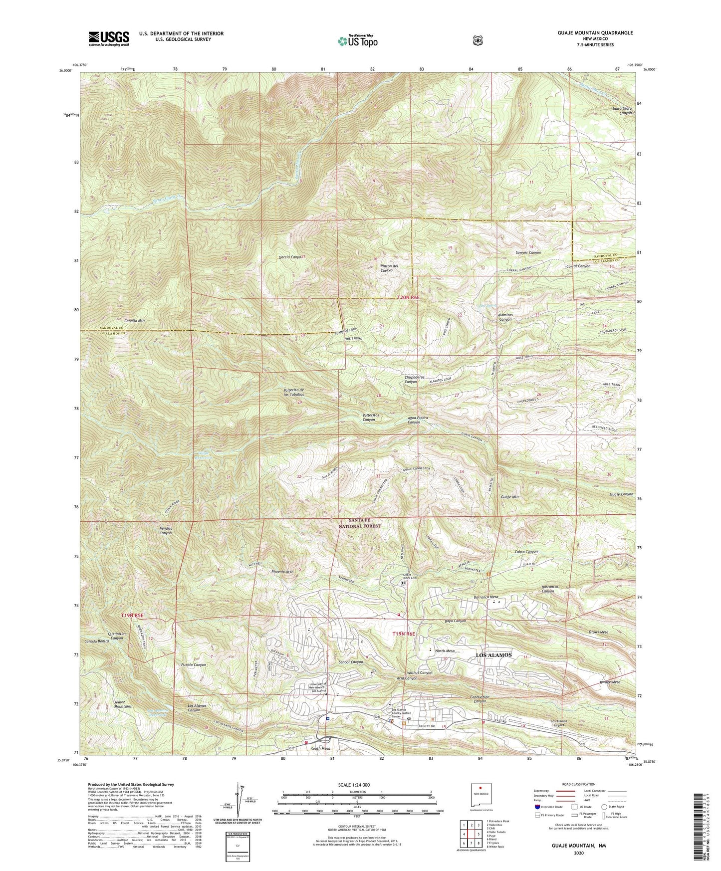
Guaje Mountain New Mexico US Topo Map
Couldn't load pickup availability
Also explore the Guaje Mountain Forest Service Topo of this same quad for updated USFS data
2023 topographic map quadrangle Guaje Mountain in the state of New Mexico. Scale: 1:24000. Based on the newly updated USGS 7.5' US Topo map series, this map is in the following counties: Los Alamos, Sandoval. The map contains contour data, water features, and other items you are used to seeing on USGS maps, but also has updated roads and other features. This is the next generation of topographic maps. Printed on high-quality waterproof paper with UV fade-resistant inks.
Quads adjacent to this one:
West: Valle Toledo
Northwest: Polvadera Peak
North: Vallecitos
Northeast: Chili
East: Puye
Southeast: White Rock
South: Frijoles
Southwest: Bland
This map covers the same area as the classic USGS quad with code o35106h3.
Contains the following named places: Acid Canyon, Agua Piedra Canyon, Agua Piedra Trail, Alamitos Canyon, Aspen Elementary School, Aspen School, Ba'hai Faith Church, Barranca Mesa, Barranca Mesa Elementary School, Barranca School, Bethlehem Evangelical Lutheran Church, Bethlehem Lutheran Church, Bradbury Science Museum, Caballo Mountain, Caballo Trail, Cabra Canyon, Cabra Loop Trail, Calvary Chapel, Canyoncito Montessori School, Canyoncito School, Central Shopping Center, Christ Community Bible Church, Christ Community Church, Christian Church, Christian Science Society Church, Church of Christ, Church of the Nazarene, Community Shopping Center, Cumbres Junior High School, El Segundo Shopping Center, First Assembly of God Church, First Baptist Church, First Church of Christ Scientist, First United Methodist Church, Friends Religious Society of Quakers, Fuller Lodge Art Center, Graduation Canyon, Guaje Canyon Trail, Guaje Historic Site, Guaje Mountain, Guaje Pines Cemetery, Guaje Reservoir, Guaje Ridge Trail, Hilltop Christian Academy, Immaculate Heart of Mary Roman Catholic Church, Jehovah's Witness Church, Jemez Mountains, KNLA-FM (White Rock), KRSN-AM (Los Alamos), Kwage Mesa, Los Alamos, Los Alamos Airport, Los Alamos Branch-UNM Learning Resource Center Library, Los Alamos Canyon Trail, Los Alamos Census Designated Place, Los Alamos Christian Fellowship Church, Los Alamos County Fire Department Station 4, Los Alamos County Historical Museum, Los Alamos County Historical Museum and Archives, Los Alamos County Jail, Los Alamos County Library - Main Branch, Los Alamos County Library White Rock Branch, Los Alamos County Police Department, Los Alamos Division, Los Alamos Fire Department Station 1, Los Alamos Fire Department Station 2 Training Facility, Los Alamos Fire Department Station 6, Los Alamos High School, Los Alamos Historical Marker, Los Alamos Medical Center, Los Alamos Medical Center Library, Los Alamos Middle School, Los Alamos National Labratory Library, Los Alamos Post Office, Los Alamos Ranch School, Los Alamos Ranch School Number One Dam, Los Alamos Reservoir, Los Alamos Scientific Laboratory, Los Alamos Technical Associates Library, Los Alamos Weather Station, Mari Mac Village Shopping Center, Messiah Evangelical Lutheran Church, Mitchell Trail, Mountain School, Natural Arch Trail, North Mesa, Otowi Mesa, Pajarito Trail, Phoenix Arch, Pine Spring, Pine Spring Cabin, Pueblo Junior High, Quemazon Canyon, Quemazon Trail, Rendija Trail, Rincon del Cuervo, Sage Montessori School, Sangre de Cristo Church, School Canyon, Seventh Day Adventist Church, South Mesa, The Christian Church, The Church of Jesus Christ of Latter Day Saints, The United Church of Los Alamos, Trinity Bible Church, Trinity on the Hill Episcopal Church, Unitarian Church, United Church, United Church of Los Alamos, University of New Mexico, University of New Mexico Los Alamos Branch, Vallecito de los Caballos, Vallecitos Canyon, Walnut Canyon, White Rock Baptist Church


