MyTopo
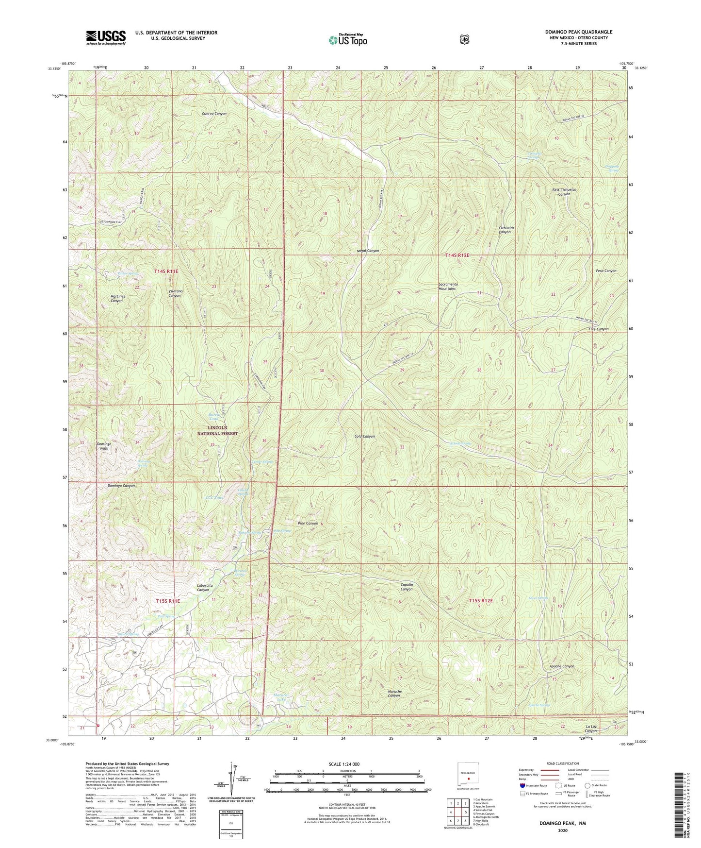
Domingo Peak New Mexico US Topo Map
Couldn't load pickup availability
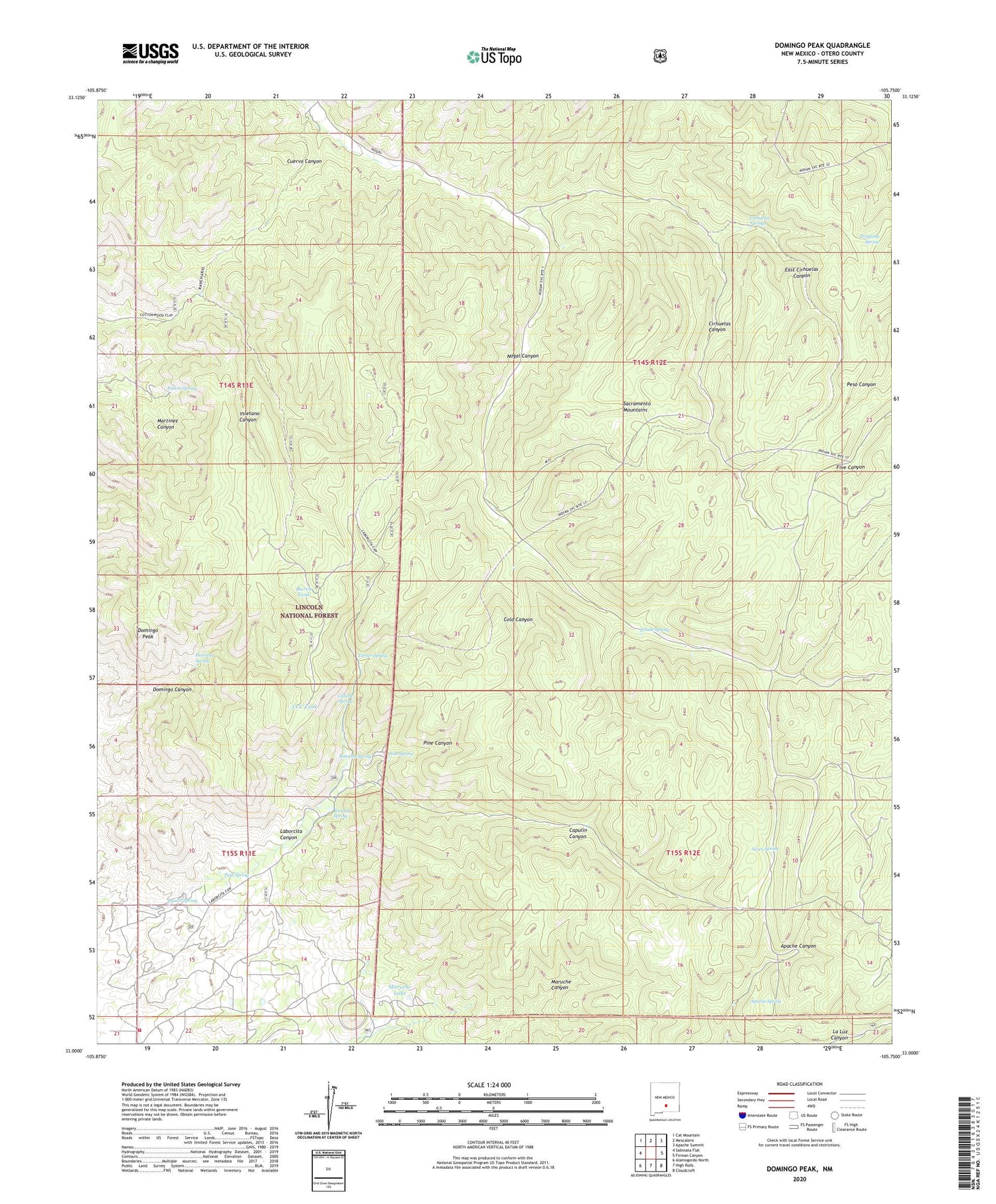
Also explore the Domingo Peak Forest Service Topo of this same quad for updated USFS data
2023 topographic map quadrangle Domingo Peak in the state of New Mexico. Scale: 1:24000. Based on the newly updated USGS 7.5' US Topo map series, this map is in the following counties: Otero. The map contains contour data, water features, and other items you are used to seeing on USGS maps, but also has updated roads and other features. This is the next generation of topographic maps. Printed on high-quality waterproof paper with UV fade-resistant inks.
Quads adjacent to this one:
West: Sabinata Flat
Northwest: Cat Mountain
North: Mescalero
Northeast: Apache Summit
East: Firman Canyon
Southeast: Cloudcroft
South: High Rolls
Southwest: Alamogordo North
This map covers the same area as the classic USGS quad with code o33105a7.
Contains the following named places: Apache Spring, Borunda Spring, Brown Spring, Burch Tank, Burro Flats Volunteer Fire Department, Caliche Spring, Capulin Canyon, CCC Tank, Cedar Tanks, Cirhuelas Canyon, Cirhuelas Springs, Cold Canyon, Coronado Lodge, Cuervo Canyon, Domingo Peak, Domingo Spring, Dripping Spring, East Cirhuelas Canyon, Eclode Spring, Five Canyon Lookout, Limb Tank, Maruche Lake, Nogal Dam Number Two, North Tank, Patton Spring, Paul Spring, Pine Canyon, Pine Spring, Ransom Spring, Seven Spring, Turner Spring, ZIP Code: 88314