MyTopo
Mariano Springs New Mexico US Topo Map
Couldn't load pickup availability
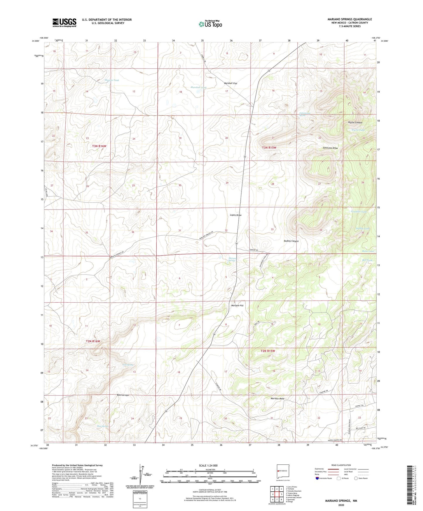
2023 topographic map quadrangle Mariano Springs in the state of New Mexico. Scale: 1:24000. Based on the newly updated USGS 7.5' US Topo map series, this map is in the following counties: Catron. The map contains contour data, water features, and other items you are used to seeing on USGS maps, but also has updated roads and other features. This is the next generation of topographic maps. Printed on high-quality waterproof paper with UV fade-resistant inks.
Quads adjacent to this one:
West: Tejana Mesa
Northwest: Cerro Prieto
North: Techado
Northeast: Veteado Mountain
East: Adams Diggings
Southeast: Omega
South: Quemado
Southwest: Armstrong Canyon
This map covers the same area as the classic USGS quad with code o34108d4.
Contains the following named places: Adobe Well, Baca Spring, Balm Tank, Bell Tank, Cole Spring, Cottonwood Spring, Crossman Well, Dudley Canyon, Dudley Tank, Franklin Tank, Gaines Well, Jones Well, Mariano Hill, Mariano Springs, Marshall Flat, Marshall Tank, Stevens Tank, Tarpley Well, Webb Well, Wyche Tank