MyTopo
Omega New Mexico US Topo Map
Couldn't load pickup availability
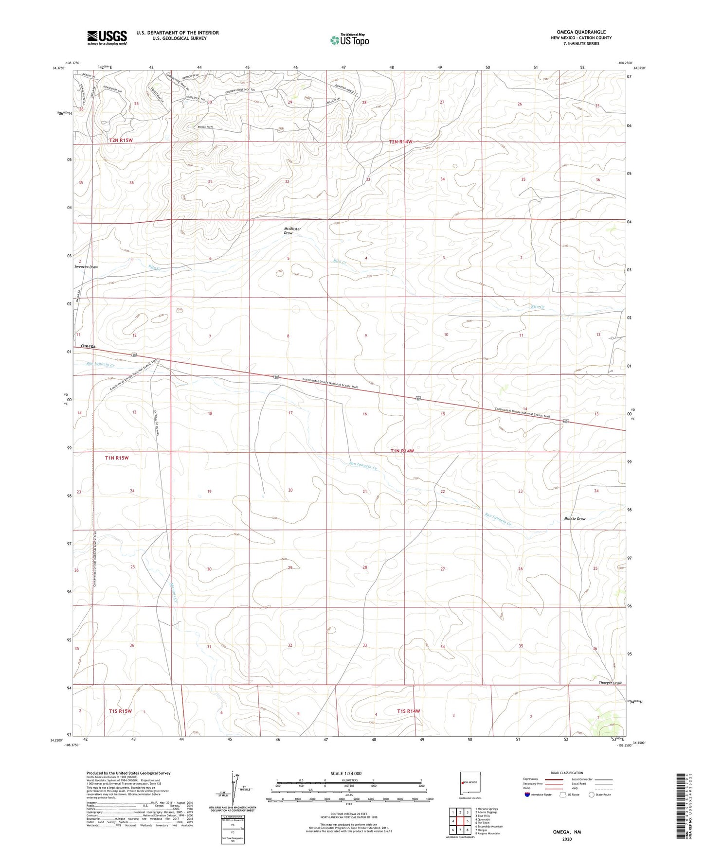
2023 topographic map quadrangle Omega in the state of New Mexico. Scale: 1:24000. Based on the newly updated USGS 7.5' US Topo map series, this map is in the following counties: Catron. The map contains contour data, water features, and other items you are used to seeing on USGS maps, but also has updated roads and other features. This is the next generation of topographic maps. Printed on high-quality waterproof paper with UV fade-resistant inks.
Quads adjacent to this one:
West: Quemado
Northwest: Mariano Springs
North: Adams Diggings
Northeast: Blue Hills
East: Pie Town
Southeast: Alegres Mountain
South: Mangas
Southwest: Escondido Mountain
This map covers the same area as the classic USGS quad with code o34108c3.
Contains the following named places: Bates, Cook Well, Hickey, McAllister Draw, Mexican Well, Middle Well, Muncie Draw, New Well, Omega, Omega Post Office, Putman Well, Smith Well, Thaeger Draw, West Well