MyTopo
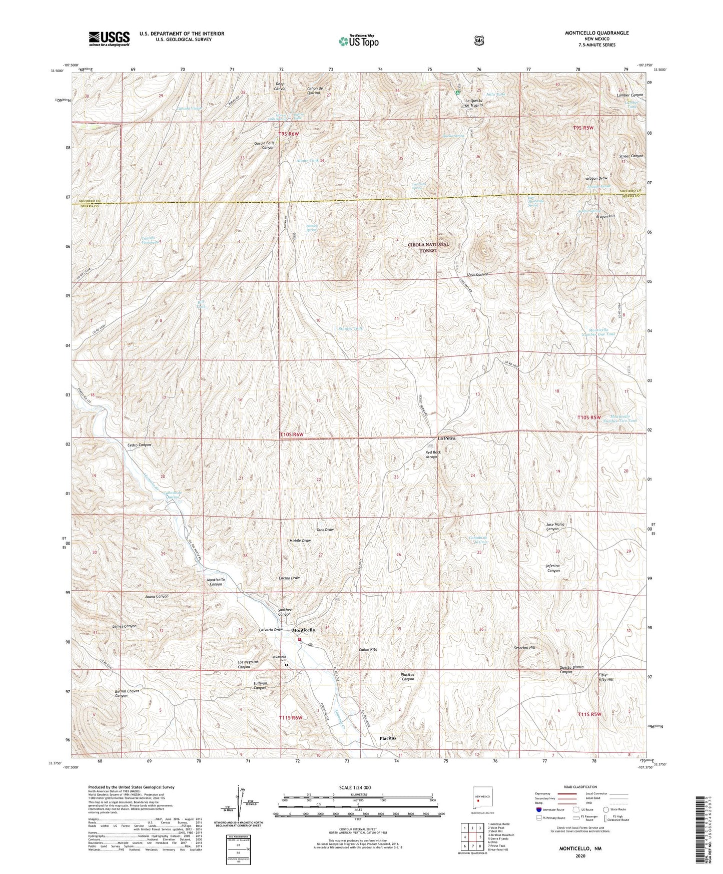
Monticello New Mexico US Topo Map
Couldn't load pickup availability
Also explore the Monticello Forest Service Topo of this same quad for updated USFS data
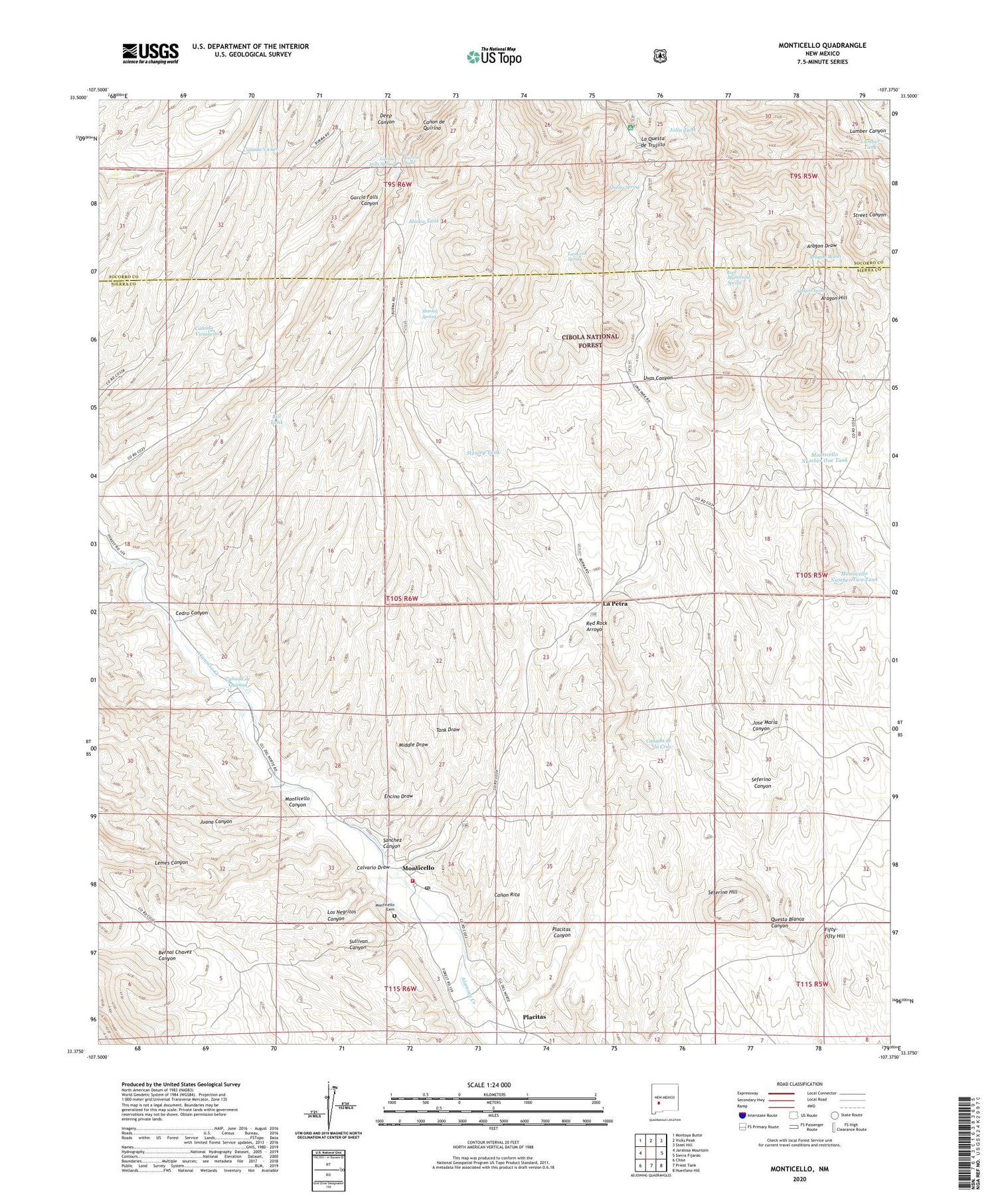
2023 topographic map quadrangle Monticello in the state of New Mexico. Scale: 1:24000. Based on the newly updated USGS 7.5' US Topo map series, this map is in the following counties: Sierra, Socorro. The map contains contour data, water features, and other items you are used to seeing on USGS maps, but also has updated roads and other features. This is the next generation of topographic maps. Printed on high-quality waterproof paper with UV fade-resistant inks.
Quads adjacent to this one:
West: Jaralosa Mountain
Northwest: Montoya Butte
North: Vicks Peak
Northeast: Steel Hill
East: Sierra Fijardo
Southeast: Huerfano Hill
South: Priest Tank
Southwest: Chise
This map covers the same area as the classic USGS quad with code o33107d4.
Contains the following named places: Alamo Tank, Aragon Draw, Aragon Hill, Aragon Spring, Aragon Well, Bar Forty-Four Well, Bill Tank, Calvario Draw, Canada de Quirino, Canon de Quirino, Canon Rita, Cedro Canyon, Deep Canyon, East Monticello Spring, Encino Draw, Fifty-fifty Hill, Garcia Falls, Garcia Falls Spring, Garcia Well, Goldsborough 1 Mine, Goldsborough 2 Mine, Goldsborough 3 Mine, Goldsborough 4 Mine, Goldsborough District, Jolla Tank, Jose Maria Canyon, Jose Maria Well, Juana Canyon, La Petra, La Questa de Trujillo, Las Uvas Spring, Lemes Canyon, Los Negritos Canyon, Lumber Tank, Luna Park Campground, Middle Draw, Monticello, Monticello Cemetery, Monticello Community Ditch, Monticello Number One Tank, Monticello Number Two Tank, Monticello Placita Volunteer Fire Department, Monticello Post Office, Negro Diggings, Placitas, Placitas Canyon, Questa Spring, Questa Well, Red Rock Arroyo, Red Rock Ranch, RG 24237 Water Well, RG 24355C Water Well, RG 27650 Water Well, RG 31106 Water Well, Saint Ignatius Church, Saint Lorenzo Church, Sanchez Canyon, Seferino Canyon, Seferino Hill, Shipman Well, Stanley Spring, Stanley Tank, Stanley Well, Sullivan Canyon, Tank Draw, Terry Prospect, Uvas Canyon, Wilhite Well, ZIP Code: 87939


