MyTopo
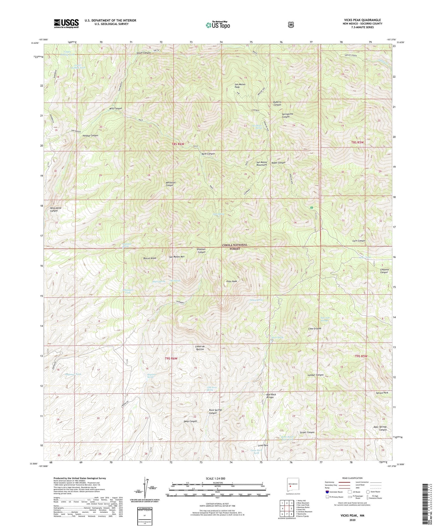
Vicks Peak New Mexico US Topo Map
Couldn't load pickup availability
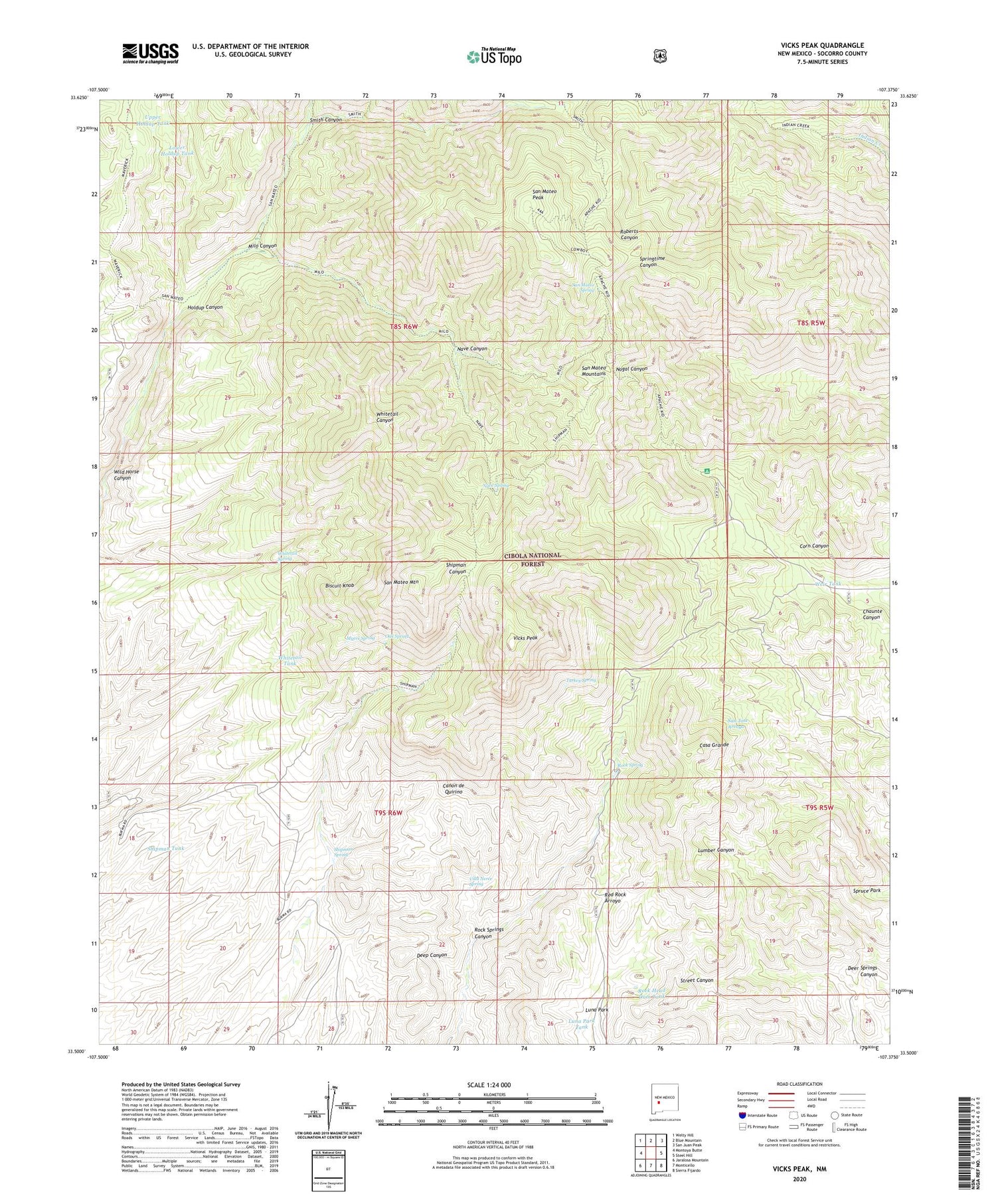
Also explore the Vicks Peak Forest Service Topo of this same quad for updated USFS data
2023 topographic map quadrangle Vicks Peak in the state of New Mexico. Scale: 1:24000. Based on the newly updated USGS 7.5' US Topo map series, this map is in the following counties: Socorro. The map contains contour data, water features, and other items you are used to seeing on USGS maps, but also has updated roads and other features. This is the next generation of topographic maps. Printed on high-quality waterproof paper with UV fade-resistant inks.
Quads adjacent to this one:
West: Montoya Butte
Northwest: Welty Hill
North: Blue Mountain
Northeast: San Juan Peak
East: Steel Hill
Southeast: Sierra Fijardo
South: Monticello
Southwest: Jaralosa Mountain
This map covers the same area as the classic USGS quad with code o33107e4.
Contains the following named places: Biscuit Knob, Casa Grande, Cooks Cabin, Corn Canyon, Cowboy Trail, Crest Trail, Frank Tank, Frank Well, Holdup Canyon, La Madera Well, Lower Holdup Tank, Luna Park, Luna Park Tank, Milo Canyon, Myers Cabin, Myers Spring, Nave Canyon, Nave Spring, Oak Spring, Priest Mine, Rhyolite Mine, Rock Head Dam Tank, Rock Spring, Rock Springs Canyon, San Mateo Mountain, San Mateo Peak, San Mateo Spring, Shipman Cabin, Shipman Spring, Shipman Tank, Smith Canyon, Springtime Campground, Spruce Park, Summit Mine, Turkey Spring, Upper Holdup Tank, Vicks Peak, Villa Nerce Spring, Weir Tank, Whitetail Spring, Whitetail Tank, Wild Horse Canyon