MyTopo
O Bar O Canyon East New Mexico US Topo Map
Couldn't load pickup availability
Also explore the O Bar O Canyon East Forest Service Topo of this same quad for updated USFS data
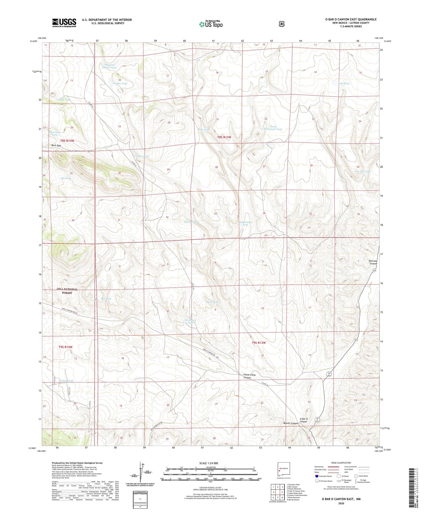
2023 topographic map quadrangle O Bar O Canyon East in the state of New Mexico. Scale: 1:24000. Based on the newly updated USGS 7.5' US Topo map series, this map is in the following counties: Catron. The map contains contour data, water features, and other items you are used to seeing on USGS maps, but also has updated roads and other features. This is the next generation of topographic maps. Printed on high-quality waterproof paper with UV fade-resistant inks.
Quads adjacent to this one:
West: O Bar O Canyon West
Northwest: Salvation Peak
North: Rail Canyon
Northeast: Pelona Mountain
East: Indian Peaks West
Southeast: Spring Canyon
South: Black Mountain
Southwest: Canyon Creek Mountains
This map covers the same area as the classic USGS quad with code o33108e2.
Contains the following named places: Acker Water Well, Beaver Canyon, Buck Pass, Buck Pass Tank, Casey Tank, Chu Chu Tank, Coyote Canyon, Coyote Tank, Coyote Water Well, Crutchfeld Water Well, Crutchfield Camp, Dyer Tank, Gap Tank, Homestead Tank, Horse Camp Canyon, Lake Tank, Lower Tank, Main Water Well, North Homestead Tank, Northwest Tank, O Bar O Canyon, Oak Tank, Petes Tank, Post Office Water Well, Prairie Tank, Rock Tank, Shipping Pasture Tank, The Turkey Track, Upper Tank, West Shipping Pen Tank