MyTopo
Puerto De Los Cavadores New Mexico US Topo Map
Couldn't load pickup availability
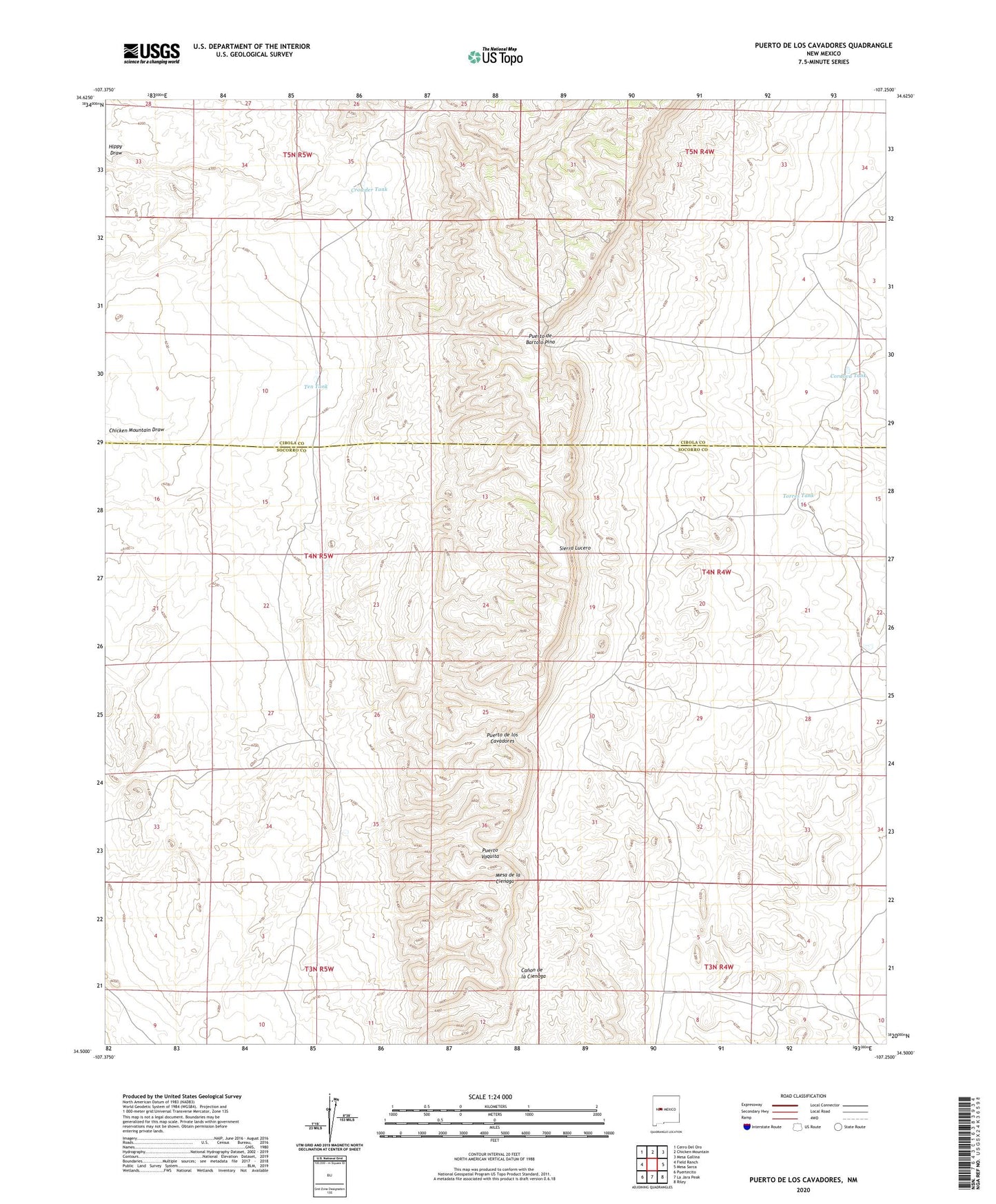
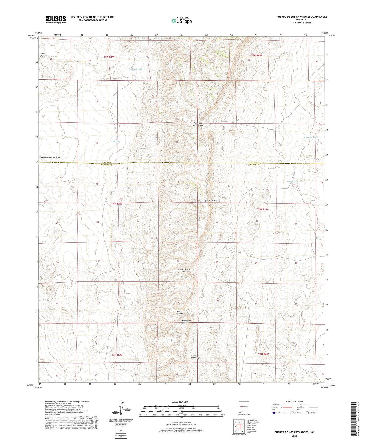
2023 topographic map quadrangle Puerto De Los Cavadores in the state of New Mexico. Scale: 1:24000. Based on the newly updated USGS 7.5' US Topo map series, this map is in the following counties: Socorro, Cibola. The map contains contour data, water features, and other items you are used to seeing on USGS maps, but also has updated roads and other features. This is the next generation of topographic maps. Printed on high-quality waterproof paper with UV fade-resistant inks.
Quads adjacent to this one:
West: Field Ranch
Northwest: Cerro Del Oro
North: Chicken Mountain
Northeast: Mesa Gallina
East: Mesa Sarca
Southeast: Riley
South: La Jara Peak
Southwest: Puertecito
This map covers the same area as the classic USGS quad with code o34107e3.
Contains the following named places: Cordova Tank, Crowder Tank, Deep Well, Mesa de la Cienaga, Puerto de Bartolo Pino, Puerto de los Cavadores, Puerto Vaquita, Selso Well, Spreen Ranch, Ten Tank, Torres Tank