
MyTopo
Riley New Mexico US Topo Map
Couldn't load pickup availability
Also explore the Riley Forest Service Topo of this same quad for updated USFS data
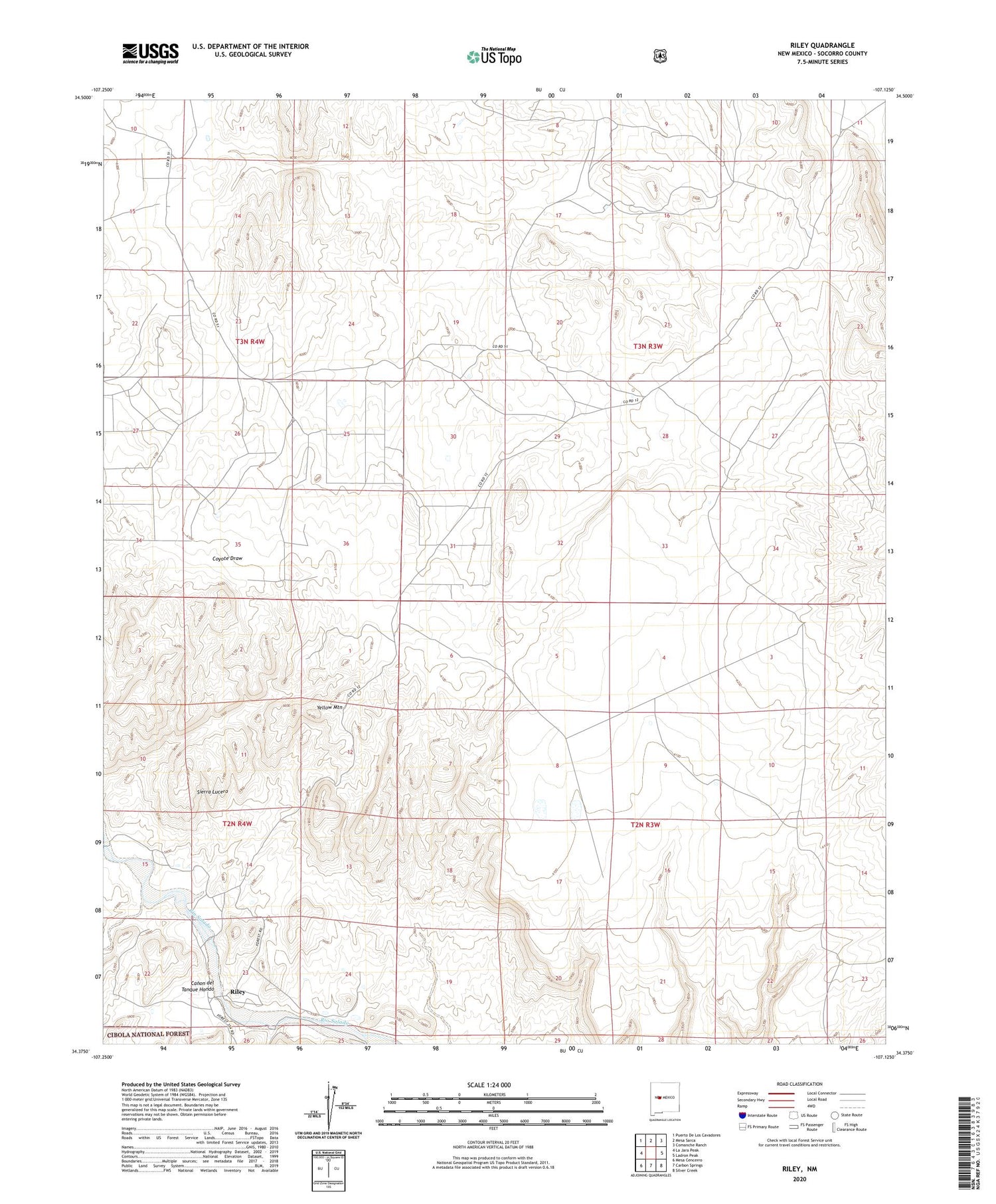
2023 topographic map quadrangle Riley in the state of New Mexico. Scale: 1:24000. Based on the newly updated USGS 7.5' US Topo map series, this map is in the following counties: Socorro. The map contains contour data, water features, and other items you are used to seeing on USGS maps, but also has updated roads and other features. This is the next generation of topographic maps. Printed on high-quality waterproof paper with UV fade-resistant inks.
Quads adjacent to this one:
West: La Jara Peak
Northwest: Puerto De Los Cavadores
North: Mesa Sarca
Northeast: Comanche Ranch
East: Ladron Peak
Southeast: Silver Creek
South: Carbon Springs
Southwest: Mesa Cencerro
This map covers the same area as the classic USGS quad with code o34107d2.
Contains the following named places: Brown, Riley, Riley Post Office, Romero, Santa Rita Church and Cemetery, Yellow Mountain


