MyTopo
Sacramento New Mexico US Topo Map
Couldn't load pickup availability
Also explore the Sacramento Forest Service Topo of this same quad for updated USFS data
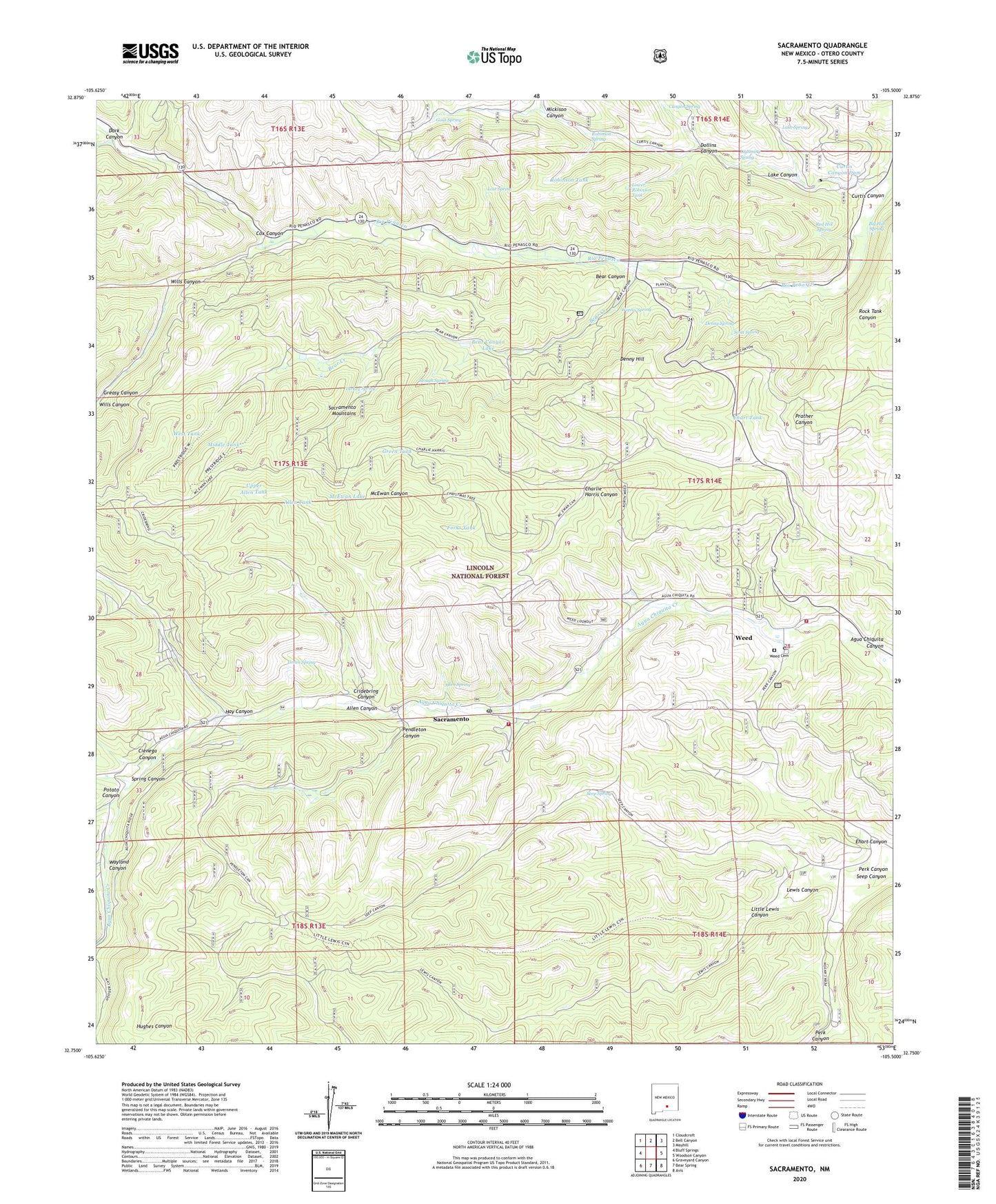
2023 topographic map quadrangle Sacramento in the state of New Mexico. Scale: 1:24000. Based on the newly updated USGS 7.5' US Topo map series, this map is in the following counties: Otero. The map contains contour data, water features, and other items you are used to seeing on USGS maps, but also has updated roads and other features. This is the next generation of topographic maps. Printed on high-quality waterproof paper with UV fade-resistant inks.
Quads adjacent to this one:
West: Bluff Springs
Northwest: Cloudcroft
North: Bell Canyon
Northeast: Mayhill
East: Woodson Canyon
Southeast: Avis
South: Bear Spring
Southwest: Graveyard Canyon
This map covers the same area as the classic USGS quad with code o32105g5.
Contains the following named places: 10057 Water Well, Akers Trick Tank, Allen Canyon, Allen Spring, Allen Tank, Bear Canyon, Bear Canyon Lake, Bear Canyon Lake Point of Interest, Bear Creek, Big Hill Spring, Bluewater Lookout Complex Historic Site, Camp Mary White, Camp Tall Pines, Canyon Spring, Charlie Harris Canyon, Cienega Canyon, Cox Canyon, Cridebring Canyon, Curtis Canyon, Curtis Canyon Dam, Dark Canyon, Denny Hill, Denny Spring, Dollins Canyon, Ehart Canyon, Ehart Tank, Forks Tank, Goat Spring, Greasy Canyon, Green Spring, Green Tank, Hay Canyon, Hoosier Canyon, Lake Canyon, Lake Spring, Lewis Canyon, Lewis Tank, Lightning Spring, Little Lewis Canyon, Lost Spring, Lower Robinson Tank, McEwan Lake, McEwan Trick Tank, Mickison Canyon, Middle Tank, Pendleton Canyon, Potato Canyon, Prather Tank, Red Hill Spring, Robinson Spring, Robinson Tank, Sacramento, Sacramento - Weed Volunteer Fire Department Station 2, Sacramento / Weed Volunteer Fire Department Station 1 Headquarters, Sacramento Administrative Site, Sacramento Census Designated Place, Sacramento Post Office, Scott Spring, Seep Canyon, Seep Spring, Sivells Baptist Camp, Slough Spring, Spring Canyon, Tower Tank, Turkey Spring, Upper Allen Tank, Upper Rio Penasco Site One Dam, Upper Rio Penasco Site Two Dam, Wayland Canyon, Weed, Weed Baptist Church, Weed Cemetery, Weed Census Designated Place, Weed Lookout Tower, Weed Post Office, Weems Spring, West Tank, Wills Canyon