MyTopo
Woodson Canyon New Mexico US Topo Map
Couldn't load pickup availability
Also explore the Woodson Canyon Forest Service Topo of this same quad for updated USFS data
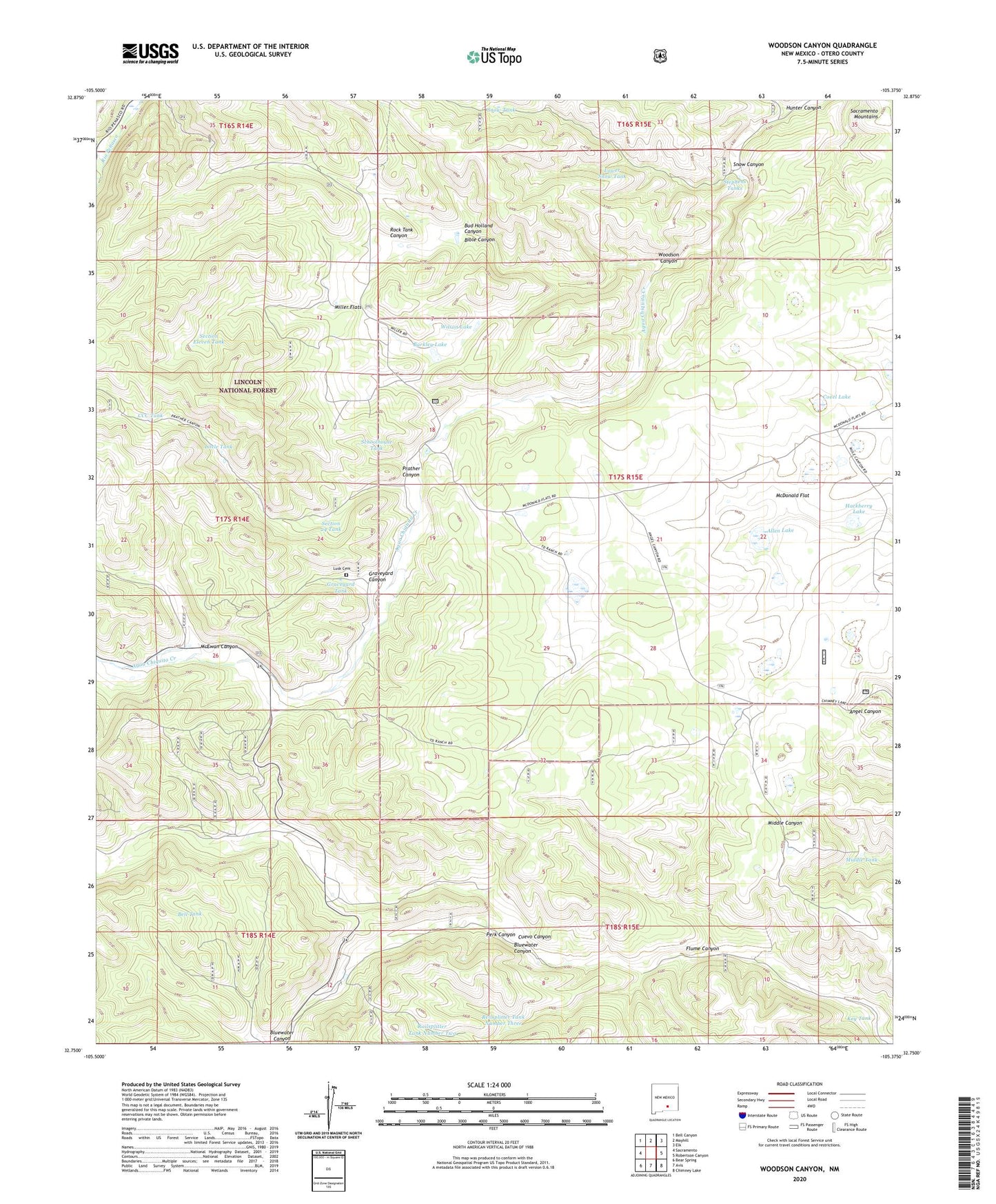
2023 topographic map quadrangle Woodson Canyon in the state of New Mexico. Scale: 1:24000. Based on the newly updated USGS 7.5' US Topo map series, this map is in the following counties: Otero. The map contains contour data, water features, and other items you are used to seeing on USGS maps, but also has updated roads and other features. This is the next generation of topographic maps. Printed on high-quality waterproof paper with UV fade-resistant inks.
Quads adjacent to this one:
West: Sacramento
Northwest: Bell Canyon
North: Mayhill
Northeast: Elk
East: Robertson Canyon
Southeast: Chimney Lake
South: Avis
Southwest: Bear Spring
This map covers the same area as the classic USGS quad with code o32105g4.
Contains the following named places: Allen Lake, Barkley Lake, Bell Tank, Bible Canyon, Bluewater Canyon, Bud Holland Canyon, Cantwell Lake, CCC Tank, Covel Lake, Dela Van Lake, Dougherty Well, Ernest Well, Flume Canyon, Graveyard Canyon, Graveyard Tank, Hackberry Lake, Hunter Canyon, Key Tank, Lewis Ranch, Little Tank, Lower Snow Tank, Lusk Cemetery, McDonald Flat, McDonald Lake, McEwan Canyon, Middle Tank, Miller Flats, Miller Well, Perk Canyon, Prather Canyon, Prather Tank, Railsplitter Tank Number Two, Reilsplitter Tank Number Three, Rock Draw Tank, Rock Tank Canyon, Schoolhouse Tank, Section 24 Tank, Section Eleven Tank, Snow Canyon, Snow Tank, Stephens Tanks, Stephens Well, Wilson Lake, Woodson Canyon, ZIP Code: 88354