MyTopo
Askin North Carolina US Topo Map
Couldn't load pickup availability
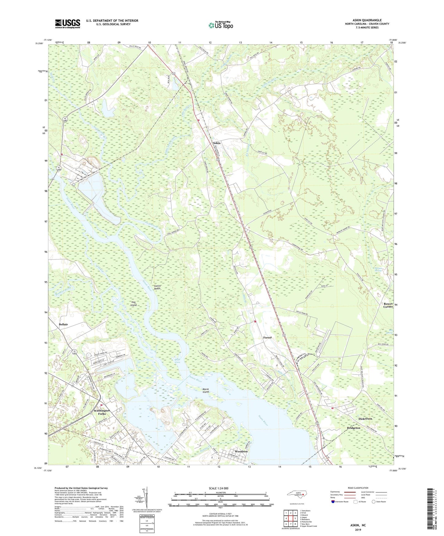
2022 topographic map quadrangle Askin in the state of North Carolina. Scale: 1:24000. Based on the newly updated USGS 7.5' US Topo map series, this map is in the following counties: Craven. The map contains contour data, water features, and other items you are used to seeing on USGS maps, but also has updated roads and other features. This is the next generation of topographic maps. Printed on high-quality waterproof paper with UV fade-resistant inks.
Quads adjacent to this one:
West: Jasper
Northwest: Vanceboro
North: Ernul
Northeast: Edward
East: Reelsboro
Southeast: Upper Broad Creek
South: New Bern
Southwest: Pollocksville
This map covers the same area as the classic USGS quad with code o35077b1.
Contains the following named places: Antioch Church, Askin, Bachelor Creek, Bayview Nursing Center, Beach Grove Church, Beaverdam Swamp, Beech Grove Mobile Home Park, Bellair, Blackmans Creek, Colonial Mobile Home Park, Cool Springs Landing, Dickerson, Duffy Trail, Fisher Swamp, Forest, Gap Landing, Gatlin Beach, Glenburnie Park, Gracie Farm Road Mobile Home Park, Hog Island, Jack Smith Creek, Kit Swamp, Kit Swamp Church, Little Swift Creek, Little Swift Creek Volunteer Fire Department, Little Swift Creek Volunteer Fire Department Main Station, Marsh Island, Mills Branch, Morgan Swamp, New Bern Quarry, New Bern Wastewater Treatment Plant, Pinetree Creek, Rennys Creek, Rowes Corner, Ruths Chapel, Sandy Ridge Mobile Home Park, Shad Cove, Streets Ferry, Swift Creek, The Gut, Town of Bridgeton, Tri - Community Volunteer Fire Department - Main Station, Washington Forks, WBIC-AM (New Bern-James City), WCTI Radio Tower, West of New Bern Volunteer Fire Department - Station 2, Weyerhaeuser Company Fire Station, Wildlife Landing, Woodrow, WRNB-AM (New Bern), WSFL-FM (Bridgeton), WSFL-FM (New Bern)