MyTopo
Ernul North Carolina US Topo Map
Couldn't load pickup availability
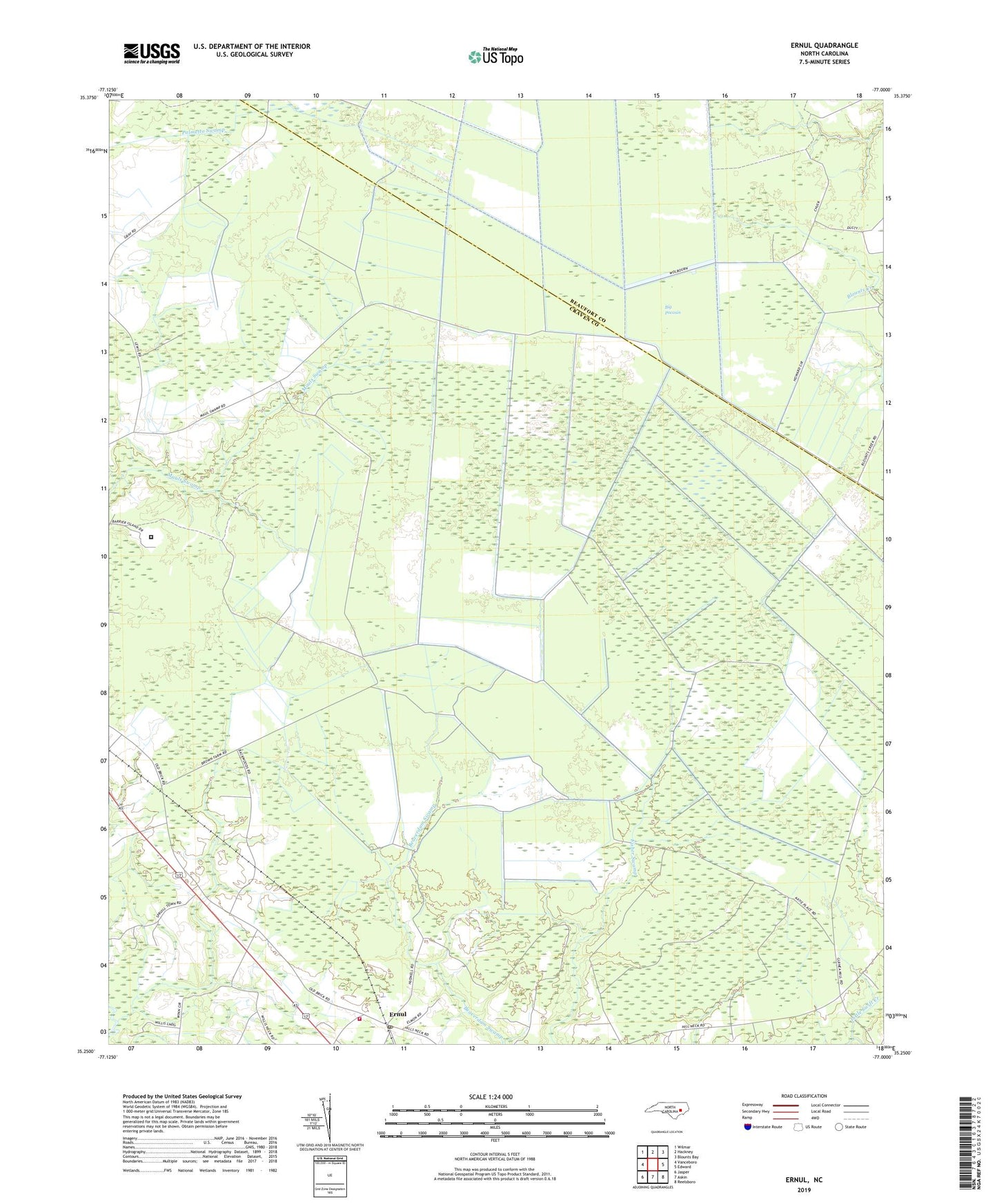
2022 topographic map quadrangle Ernul in the state of North Carolina. Scale: 1:24000. Based on the newly updated USGS 7.5' US Topo map series, this map is in the following counties: Craven, Beaufort. The map contains contour data, water features, and other items you are used to seeing on USGS maps, but also has updated roads and other features. This is the next generation of topographic maps. Printed on high-quality waterproof paper with UV fade-resistant inks.
Quads adjacent to this one:
West: Vanceboro
Northwest: Wilmar
North: Hackney
Northeast: Blounts Bay
East: Edward
Southeast: Reelsboro
South: Askin
Southwest: Jasper
This map covers the same area as the classic USGS quad with code o35077c1.
Contains the following named places: Big Pocosin, Cove Landing, Craven Correctional Institution, Ernul, Ernul Post Office, Little Swift Creek Volunteer Fire Department, Macedonia Church, Mary and Martha Church, Pine Tree Swamp, Saint James Church, Welbourn Airport, ZIP Code: 28527