MyTopo
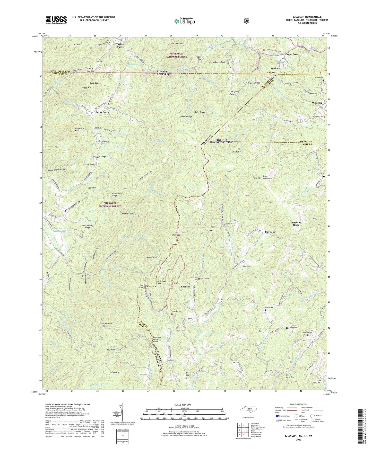
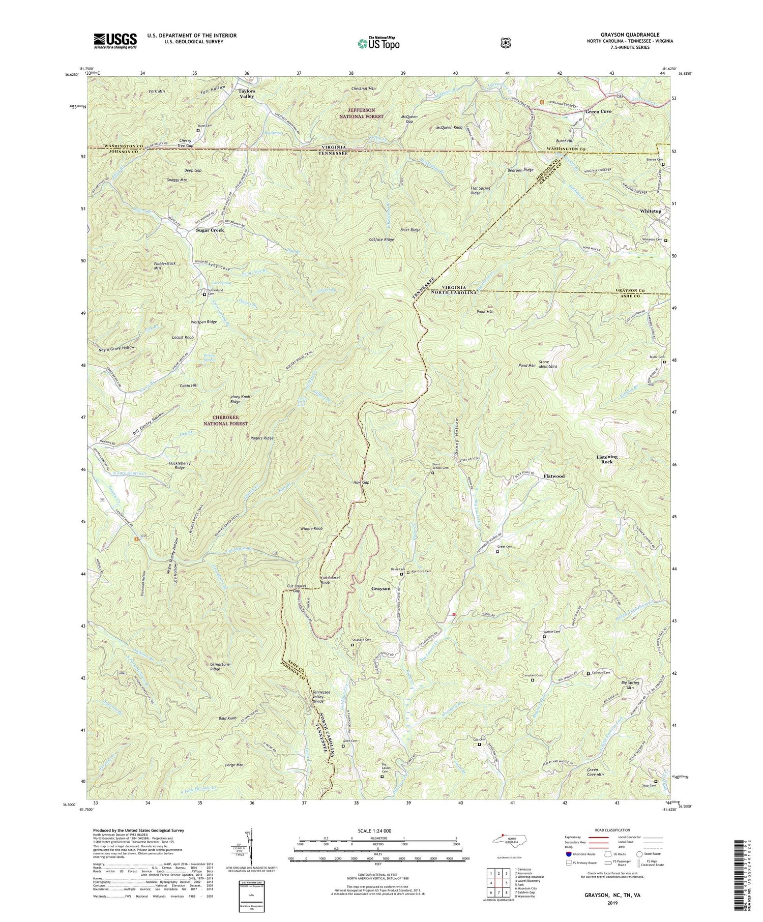
Grayson North Carolina US Topo Map
Couldn't load pickup availability
Also explore the Grayson Forest Service Topo of this same quad for updated USFS data
2022 topographic map quadrangle Grayson in the states of Tennessee, North Carolina, Virginia. Scale: 1:24000. Based on the newly updated USGS 7.5' US Topo map series, this map is in the following counties: Ashe, Johnson, Washington, Grayson. The map contains contour data, water features, and other items you are used to seeing on USGS maps, but also has updated roads and other features. This is the next generation of topographic maps. Printed on high-quality waterproof paper with UV fade-resistant inks.
Quads adjacent to this one:
West: Laurel Bloomery
Northwest: Damascus
North: Konnarock
Northeast: Whitetop Mountain
East: Park
Southeast: Warrensville
South: Baldwin Gap
Southwest: Mountain City
Contains the following named places: Allen Cemetery, Bald Knob, Bearpen Ridge, Belle Hawkins Mine, Bethel Church, Big Laurel Cemetery, Big Laurel Church, Big Rock Prospect, Big Spring, Big Spring Church, Big Spring Mountain, Bill Gentry Hollow, Blevins Cemetery, Boiling Spring, Boiling Spring Prospect, Brier Ridge, Buckeye Branch, Burnt Hill, Burnt School Cemetery, Cabin Hill, Calhoun Cemetery, Campbell Cemetery, Catface Ridge, Cave Spring, Cave Spring Branch, Cherry Tree Gap, Covenant Church, Cox Cemetery, Cut Laurel Branch, Cut Laurel Gap, Cut Laurel Knob, Davis Cemetery, Deep Gap, Denny Hollow, Dixon Creek, Dry Branch, Dunn Cemetery, Fairview Church, Fall Hollow, Farmers Memorial Church, Farmers Store, Flat Spring Ridge, Flatwood, Fodderstack Mountain, Fork Mountain, Gentry Creek Falls, Gilbert Branch, Grayson, Green Cove, Green Cove Mountain, Greer Cemetery, Grindstone Branch, Grindstone Ridge, Haw Gap, Hawkins Branch, High Trestle Branch, Huckleberry Ridge, Huckleberry Ridge Mine, Joe Hollow, Kate Branch, Kilby Creek, Laurel Branch, Listening Rock, Locust Knob, Martin Cemetery, McQueen Branch, McQueen Gap, McQueen Knob, Mountain View Church, Negro Shanty Hollow, Owens Branch, Piney Knob Ridge, Pond Mountain, Pond Mountain Volunteer Fire and Rescue, Richardson Branch, Rogers Ridge, Rye Cove Cemetery, Sapp Cemetery, Seng Cove, Seng Cove Branch, Shumate Cemetery, Snaggy Mountain, South Fork Atchison Branch, State Line Cemetery, State Line Church, State Line School, Stone Mountains, Sugar Creek, Taylor Cemetery, Taylor Valley Mine, Taylors Valley, Tennessee Valley Divide, Township of Pond Mountain, Tramroad Hollow, Valley Creek, Walnut Grove Church, Whetstone Branch, Whitetop, Whitetop Cemetery, Wills Shanty, Winnie Knob, Wolfpen Ridge, Woodard Branch, Wright Prospect, ZIP Code: 37680


