MyTopo
Lambs Corner North Carolina US Topo Map
Couldn't load pickup availability
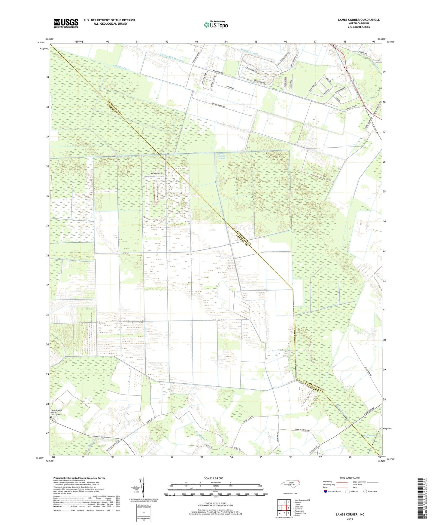
2022 topographic map quadrangle Lambs Corner in the state of North Carolina. Scale: 1:24000. Based on the newly updated USGS 7.5' US Topo map series, this map is in the following counties: Camden, Currituck. The map contains contour data, water features, and other items you are used to seeing on USGS maps, but also has updated roads and other features. This is the next generation of topographic maps. Printed on high-quality waterproof paper with UV fade-resistant inks.
Quads adjacent to this one:
West: South Mills
Northwest: Lake Drummond SE
North: Moyock
Northeast: Creeds
East: Currituck
Southeast: Shiloh
South: Elizabeth City
Southwest: Pasquotank
This map covers the same area as the classic USGS quad with code o36076d2.
Contains the following named places: Cedar Branch Baptist Church Cemetery, Guinea, Guinea Mill Run Canal, Lambs Corner, Lateral A Canal, NC61 Airport, Roland Creek Canal, ZIP Code: 27958