MyTopo
Jones Bay North Carolina US Topo Map
Couldn't load pickup availability
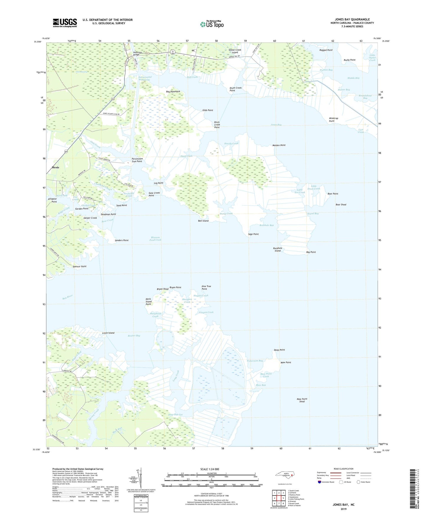
2022 topographic map quadrangle Jones Bay in the state of North Carolina. Scale: 1:24000. Based on the newly updated USGS 7.5' US Topo map series, this map is in the following counties: Pamlico. The map contains contour data, water features, and other items you are used to seeing on USGS maps, but also has updated roads and other features. This is the next generation of topographic maps. Printed on high-quality waterproof paper with UV fade-resistant inks.
Quads adjacent to this one:
West: Vandemere
Northwest: South Creek
North: Lowland
Northeast: Pamlico Point
East: Little Fishing Point
Southeast: Point of Marsh
South: Broad Creek
Southwest: Oriental
This map covers the same area as the classic USGS quad with code o35076b5.
Contains the following named places: Alligator Point, Ball Island, Barnes Creek, Bay Creek Airport, Bay Hammock, Bay Point, Bay River, Bear Creek, Bennett Creek, Bills Creek, Bills Creek Landing, Blossom Pond Creek, Boar Point, Boar Shoal, Bonner Bay, Bryan Creek, Bryan Point, Bryan Shoal, Catchall Creek, Chadwick Creek, Coot Creek, Cow Gallus Creek, Cox Creek, Davis Island Point, Deadman Point, Deep Oak Gut, Deep Point, Dipping Vat Creek, Ditch Creek, Ditch Creek Point, Doll Creek, Dowdy Creek, Drum Creek, Drum Creek Point, Dump Creek, Fisherman Bay, Flower Bay, Gale Creek, Gale Creek Point, Garden Creek, Garden Point, Gascon Creek, Gibb Point, Goose Creek State Game Refuge, Harper Creek, Henry Creek, Hobucken, Hobucken Bridge, Hobucken Post Office, Hogpen Creek, Horton Creek, Ives Creek, Jones Bay, Jumpover Creek, Lambert Creek, Little Bear Creek, Little Drum Creek, Little Eve Creek, Little Island, Little Oyster Creek, Log Point, Long Creek, Maiden Point, Maul Run, Maw Bay, Maw Point, Maw Point Creek, Maw Point Shoal, Middle Bay, Minktrap Point, Morris Creek, Neuse River, No Jacket Creek, Oyster Creek, Persimmon Tree Point, Pine Tree Point, Plum Creek, Potter Creek, Preston Bay, Raccoon Creek, Raff Creek, Ragged Point, Richardson Creek, Riggs Creek, Rockhole Bay, Rockhole Island, Rocky Point, Roundabout Bay, Sage Point, Sand Point, Sanders Point, Savannah Creek, Sheephead Creek, Sheepneck Creek, Sheeppen Creek, Sound Bay, Spencer Point, Spring Creek, Tar Creek, Township 4, Whealton Creek, Win Creek, Yaupon Creek, ZIP Code: 28537


