MyTopo
Moravian Falls North Carolina US Topo Map
Couldn't load pickup availability
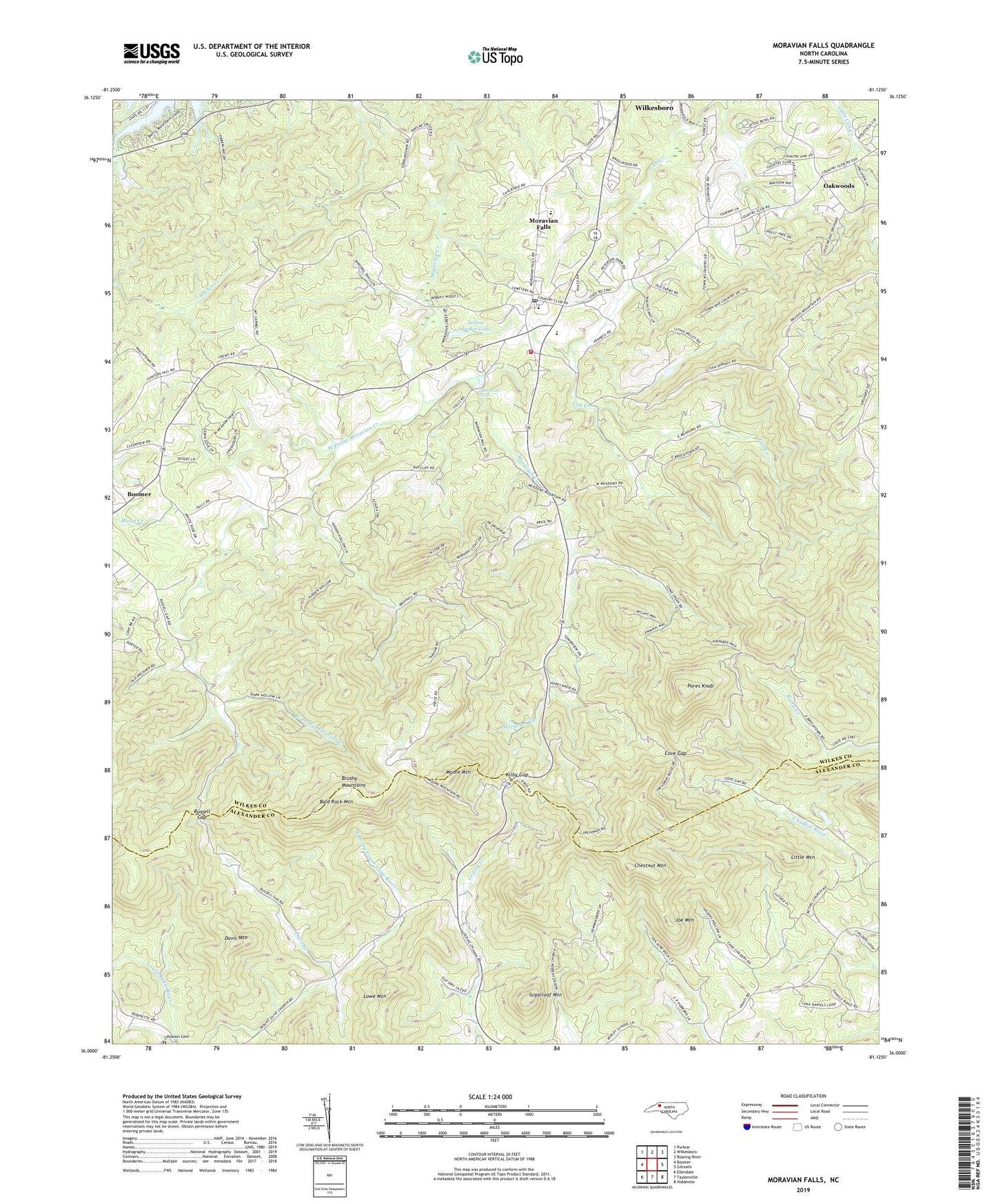
2022 topographic map quadrangle Moravian Falls in the state of North Carolina. Scale: 1:24000. Based on the newly updated USGS 7.5' US Topo map series, this map is in the following counties: Wilkes, Alexander. The map contains contour data, water features, and other items you are used to seeing on USGS maps, but also has updated roads and other features. This is the next generation of topographic maps. Printed on high-quality waterproof paper with UV fade-resistant inks.
Quads adjacent to this one:
West: Boomer
Northwest: Purlear
North: Wilkesboro
Northeast: Roaring River
East: Gilreath
Southeast: Hiddenite
South: Taylorsville
Southwest: Ellendale
This map covers the same area as the classic USGS quad with code o36081a2.
Contains the following named places: Bald Rock Mountain, Bandits Roost Park, Bentley Dam, Boomer Church, Brocktown School, Brushy Mountain Farm and Orchard, Brushy Mountains, Chestnut Mountain, Country Club Hills, Cove Gap, Cub Creek Church, Davis Creek, Davis Mountain, Deal Orchards, East Fruitland, Fox Run, Greengo Orchards, Hareapple Farm, Joe Mountain, Kilby Gap, Lebanon Cemetery, Lebanon Church, Little Mountain, Lowe Mountain, Mayview Acres, McKinney Orchard and Gardens, Moore Mountain, Moravian Falls, Moravian Falls Census Designated Place, Moravian Falls Post Office, Moravian Falls Volunteer Fire Department, Mount Carmel Church, Mount Olive Church, Noname, Oakwoods, Oakwoods Country Club, Perry Lowe Orchards, Piney Grove Church, Pores Knob, Quail Hollow Estates, Ritchie Dam, Rocky Creek Church, Russell Gap, Russell Gap Baptist Church, Sugar Loaf Orchards, Sugarloaf Mountain, Township of Moravian Falls, Township of Sugar Loaf, Walnut Grove Baptist Church, Watts Dam, Watts Lake, West Prong Moravian Creek, WKBC-FM (North Wilkesboro), Yellow Jacket Lake, Yellow Jacket Lake Dam, ZIP Code: 28654


