MyTopo
Oak Hill North Carolina US Topo Map
Couldn't load pickup availability
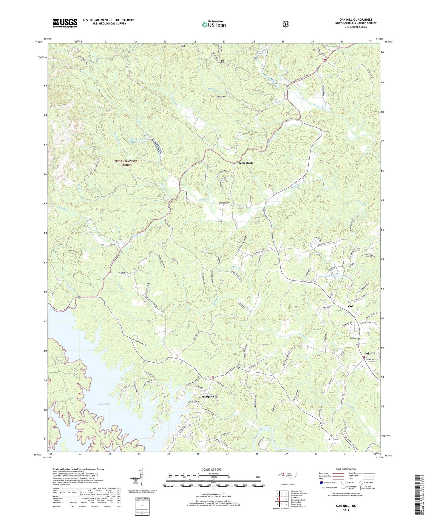
2019 topographic map quadrangle Oak Hill in the state of North Carolina. Scale: 1:24000. Based on the newly updated USGS 7.5' US Topo map series, this map is in the following counties: Burke. The map contains contour data, water features, and other items you are used to seeing on USGS maps, but also has updated roads and other features. This is the next generation of topographic maps. Printed on high-quality waterproof paper with UV fade-resistant inks.
Quads adjacent to this one:
West: Ashford
Northwest: Linville Falls
North: Chestnut Mountain
Northeast: Collettsville
East: Morganton North
Southeast: Morganton South
South: Glen Alpine
Southwest: Marion East
Contains the following named places: Back Creek, Fairview Church, Gold, Goodmans Lake, Grand View Church, Henry Harris Dam, Henry Harris Lake, Joy, Lake James Church, Lake James Community Volunteer Fire Department, Leibhart Dam, Leibhart Lake, Linville Church, Linville George Wilderness, Miller Mountain, Mount View Church, Mountain Grove Church, Oak Hill, Oak Hill Elementary and Junior High School, Oak Hill Fire and Rescue Protection Association Station 1, Oak Hill Fire and Rescue Protection Association Station 2, Quaker Meadow Presbyterian Church, Reedys Fork, River Valley Church, Roses Creek, Russell Creek, Saint Pauls Church, Shiloh Ame Church, Simpson Creek, Smyrna Church, Steels Creek, Table Rock, Table Rock Fish Hatchery Dam, Table Rock Fish Hatchery Lake, Tablerock Church, Tablerock State Fish Hatchery, Township of Upper Creek, White Creek, Willow Tree Church, Willow Tree School, Zion Church