MyTopo
Roanoke Rapids North Carolina US Topo Map
Couldn't load pickup availability
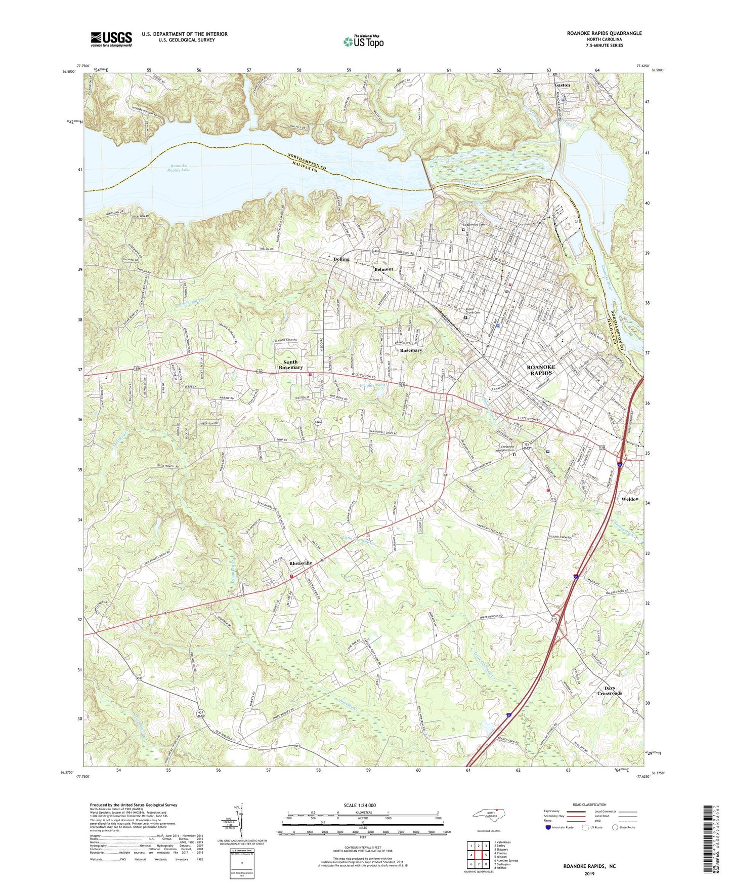
2022 topographic map quadrangle Roanoke Rapids in the state of North Carolina. Scale: 1:24000. Based on the newly updated USGS 7.5' US Topo map series, this map is in the following counties: Halifax, Northampton. The map contains contour data, water features, and other items you are used to seeing on USGS maps, but also has updated roads and other features. This is the next generation of topographic maps. Printed on high-quality waterproof paper with UV fade-resistant inks.
Quads adjacent to this one:
West: Thelma
Northwest: Valentines
North: Barley
Northeast: Skippers
East: Weldon
Southeast: Halifax
South: Darlington
Southwest: Aurelian Springs
This map covers the same area as the classic USGS quad with code o36077d6.
Contains the following named places: Akers School, Becker Village Shopping Center, Belmont, Bethlehem Church, Bible Way Church, Black Duck Creek, Bolling, Boseman Church, Calvary Church, Cedarwood Cemetery, Central Church, Chaloner Park, Chaloner School, Chantilly Speedway, Chockoyotte Church, City of Roanoke Rapids, Cool Spring Church, Crestview Memorial Cemetery, Davie Middle School, Davie Volunteer Fire Department Station 1 Headquarters, Davis Recreation Center, Days Crossroads, Enfield Police Department, Faith Tabernacle, First Evangelical Church, Forest Hills Shopping Center, Gaston Junior High School, Gaston Police Department, Gaston Post Office, Gaston Volunteer Rescue Squad, Good News Church, Gum Chapel, Halifax Academy, Halifax County Airport, Halifax Emergency Medical Services Station 6, Halifax Regional Medical Center, Hearn School, Highway Church, Lake View Park Church, Lake Williams, Lees Creek, Little River, London Church, New Hope Church, North Carolina State Highway Patrol Troop C District 8, Park Church, Poplar Grove Cemetery, Quankey Church, Rheasville, Rheasville Volunteer Fire Department, Roanoke Church, Roanoke Rapids, Roanoke Rapids Air Force Station, Roanoke Rapids Fire Department Station 1, Roanoke Rapids Fire Department Station 2, Roanoke Rapids Lake, Roanoke Rapids Lake Dam, Roanoke Rapids Plaza, Roanoke Rapids Police Department, Roanoke Rapids Post Office, Roanoke Valley Rescue Squad, Rochelle Pond Dam, Rosemary, Saint Johns Church, Saint Marks Church, Shearins Chapel, Simmons Grove Church, Smiths Church, South Rosemary, South Rosemary Census Designated Place, Stevenson Pond, Stevenson Pond Dam, Tabernacle Church, Town of Gaston, Township of Roanoke Rapids, Township of Weldon, Twilight Church, W L Manning Elementary School, W T Medlin Elementary School, WCBT-AM (Roanoke Rapids), White Church, WPGT-FM (Roanoke Rapids), WPTM-FM (Roanoke Rapids), Wrights Pond, Wrights Pond Dam, ZIP Code: 27870


