MyTopo
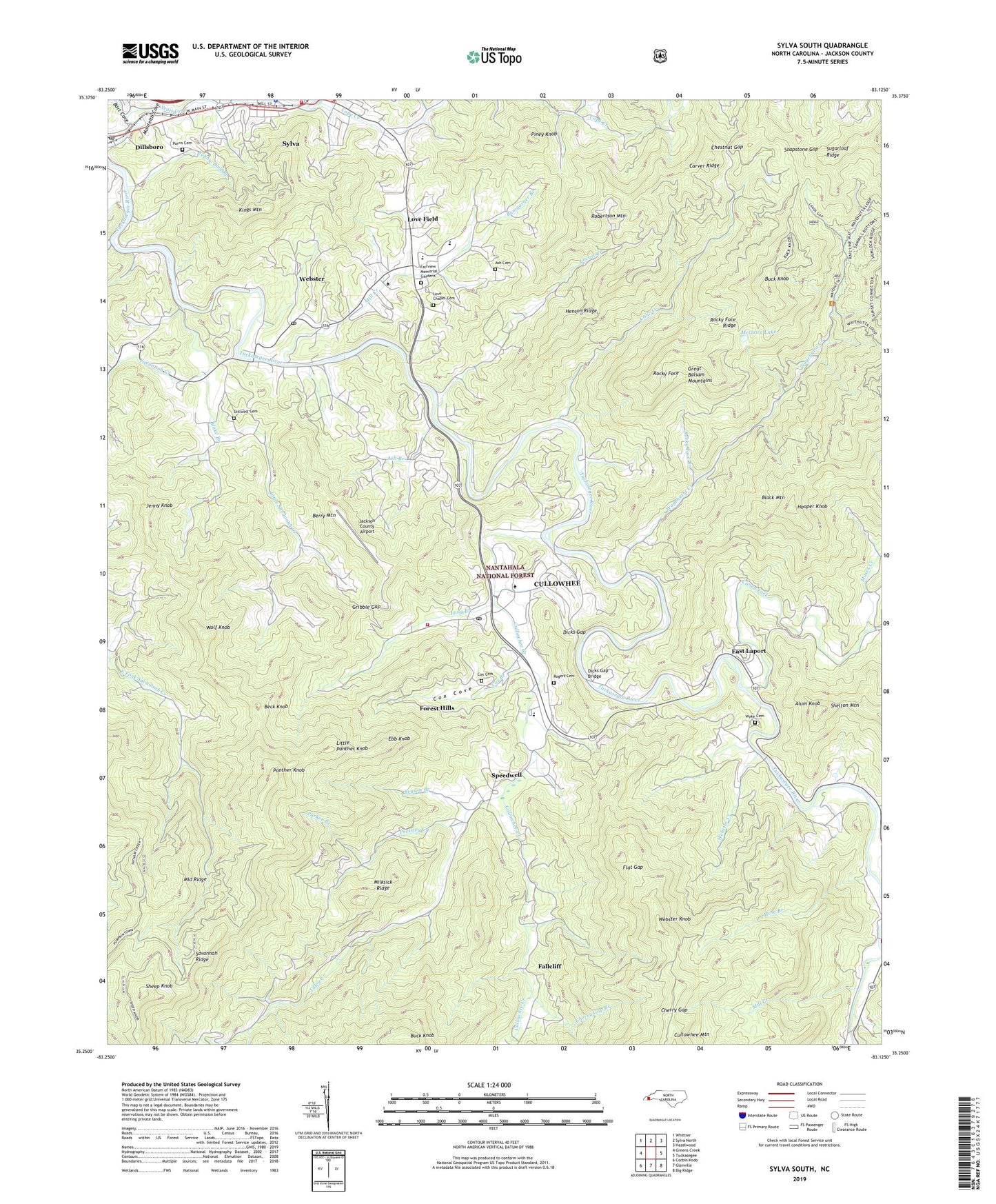
Sylva South North Carolina US Topo Map
Couldn't load pickup availability
Also explore the Sylva South Forest Service Topo of this same quad for updated USFS data
2022 topographic map quadrangle Sylva South in the state of North Carolina. Scale: 1:24000. Based on the newly updated USGS 7.5' US Topo map series, this map is in the following counties: Jackson. The map contains contour data, water features, and other items you are used to seeing on USGS maps, but also has updated roads and other features. This is the next generation of topographic maps. Printed on high-quality waterproof paper with UV fade-resistant inks.
Quads adjacent to this one:
West: Greens Creek
Northwest: Whittier
North: Sylva North
Northeast: Hazelwood
East: Tuckasegee
Southeast: Big Ridge
South: Glenville
Southwest: Corbin Knob
This map covers the same area as the classic USGS quad with code o35083c2.
Contains the following named places: Alum Knob, Ash Branch, Ash Cemetery, Bart Cove, Beck Knob, Berry Mountain, Blake Branch, Bryson Branch, Buck Knob, Bumgarner Branch, Cagle Branch, Cane Creek, Caney Fork, Carver Ridge, Cherry Gap, Cherry Gap Branch, Chestnut Gap, Cope Creek, Cox Branch, Cox Cemetery, Cox Cove, Cullowhee, Cullowhee Census Designated Place, Cullowhee Creek, Cullowhee Post Office, Cullowhee Volunteer Fire Department Station 1, Dicks Gap, Dicks Gap Bridge, Dillsboro Dam, Dillsboro Mine, Dillsboro Post Office, East Fork Church, East Laport, Ebb Knob, Fairview Elementary School, Fairview Memorial Gardens, Fallcliff, Flat Gap, Forest Hills, Frady Cove Dam, Frady Cove Lake, Gribble Gap, Henson Ridge, Hodge Dam, Hodge Lake, Hooper Knob, Jackson County, Jackson County Airport, Jackson County Farm, Jackson County Rescue Squad, Jenny Knob, John Brown Branch, Kings Mountain, Lake Dillsboro, Little Panther Knob, Little Savannah Church, Little Savannah Creek, Locust Creek, Long Branch, Love Chapel, Love Chapel Cemetery, Love Field, McGuire Lake, McGuire Lake Dam, Middle Ridge, Milksick Ridge, Mill Creek, Mine Branch, Monteith Cove, Moses Creek, Mount Carmel Church, Panther Knob, Parker Branch, Parris Cemetery, Piney Knob, Pressley Creek, River Hill Church, Riverview Church, Robertson Mountain, Rocky Face, Rocky Face Branch, Rocky Face Ridge, Rogers Cemetery, Savannah Creek, Savannah Ridge, Sheep Knob, Soapstone Gap, Speedwell, Stillwell Cemetery, Sylva, Sylva Fire Department, Sylva Plaza, Sylva Police Department, Sylva-Webster High School, Tilley Creek, Town of Webster, Township of Cullowhee, Township of Webster, Village of Forest Hills, Wayehutta Creek, Webster, Webster Church, Webster Creek, Webster Knob, Webster Post Office, Western Carolina Teachers College, Western Carolina University Emergency Medical Services, Wolf Knob, WWCU-FM (Cullowhee), Wyke Cemetery, Yellow Bird Branch, ZIP Code: 28779


