MyTopo
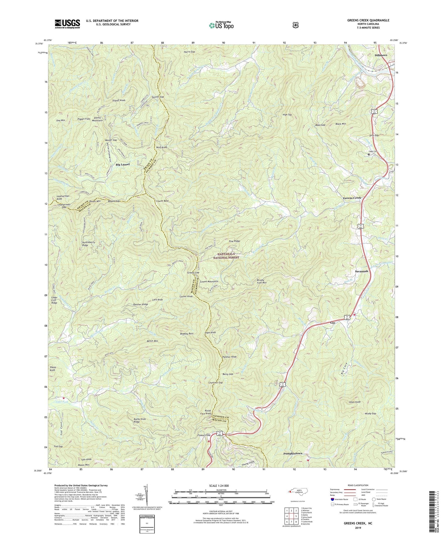
Greens Creek North Carolina US Topo Map
Couldn't load pickup availability
Also explore the Greens Creek Forest Service Topo of this same quad for updated USFS data
2022 topographic map quadrangle Greens Creek in the state of North Carolina. Scale: 1:24000. Based on the newly updated USGS 7.5' US Topo map series, this map is in the following counties: Jackson, Macon, Swain. The map contains contour data, water features, and other items you are used to seeing on USGS maps, but also has updated roads and other features. This is the next generation of topographic maps. Printed on high-quality waterproof paper with UV fade-resistant inks.
Quads adjacent to this one:
West: Alarka
Northwest: Bryson City
North: Whittier
Northeast: Sylva North
East: Sylva South
Southeast: Glenville
South: Corbin Knob
Southwest: Franklin
This map covers the same area as the classic USGS quad with code o35083c3.
Contains the following named places: Alarka Mountains, Beasley Creek, Bench Mountain, Betty Branch, Betty Gap, Big Cove, Big Laurel, Black Mountain, Blazed Creek, Blazed Gap, Bradley Butt, Brook Branch, Brushy Fork, Brushy Fork Mountain, Cagle Cemetery, Camp Branch, Cherokee Ruby and Sapphire Mine, Chestnut Cove, Chestnut Gap, Cope Knob, Corner Knob, Cowee Bald, Cowee Fire Tower, Cowee Volunteer Fire and Rescue Department, Dalton Creek, Deets Creek, Dills Gap, Dillsboro, Dillsboro Quarry, East Fork Barkers Creek, East Fork Savannah Creek, Fall Branch, Fed Cove, Fed Gap, Flowers Gap, Gay, Grassy Branch, Greens Creek, Greens Gap, Gregorys Ruby Mine, Gunter Gap, Harris Gap, High Top, Holbrooks Ruby Mine, Hornbuckle Branch, Huckleberry Creek, Huckleberry Ridge, Jones Knob, Lark Knob, Leatherman Gap, Leatherman Knob, Liberty Church, Locust Field Church, Long Branch, Lyle Knob, Mack Gap, Mack Town Branch, Mason Mountain, Mica City Creek, Middle Fork Barkers Creek, Mountain Top Gem Mine, Mountain Valley Volunteer Fire and Rescue Department Substation, New Savannah Church, Panther Knob, Panther Ridge, Peewee Branch, Pigpen Flats, Pine Ridge, Pumpkintown, Raven Mountain, Reed Branch, Rhoda Branch, Rocky Face Knob, Rocky Knob Ridge, Savannah, Savannah Church, Savannah Volunteer Fire Department Station 1, Savannah Volunteer Fire Department Station 2, Scott Creek, Sheep Knob, Shulers Ruby Mine, Slipoff Branch, Slipoff Knob, Sugar Branch, Sugar Fork, Sutton Branch, Tatham Creek, Tippet Creek, Town of Dillsboro, Township of Dillsboro, Township of Greens Creek, Township of Savannah, Una Mountain, Wesser Gap, West Fork Barkers Creek, Windy Gap, Wolf Knob, ZIP Code: 28725


