MyTopo
Arlington Oklahoma US Topo Map
Couldn't load pickup availability
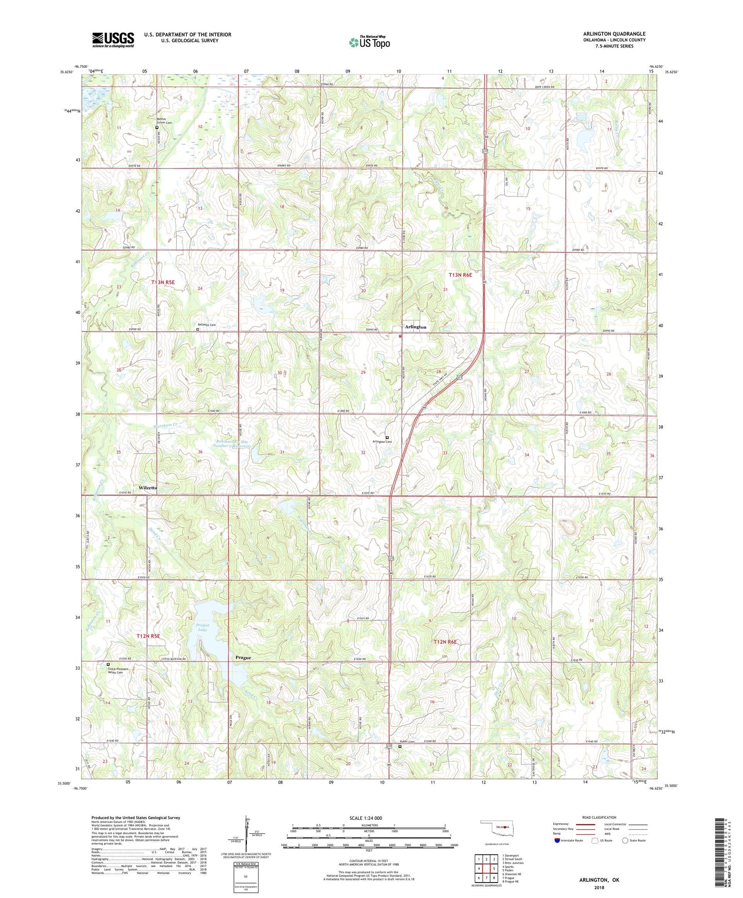
2022 topographic map quadrangle Arlington in the state of Oklahoma. Scale: 1:24000. Based on the newly updated USGS 7.5' US Topo map series, this map is in the following counties: Lincoln. The map contains contour data, water features, and other items you are used to seeing on USGS maps, but also has updated roads and other features. This is the next generation of topographic maps. Printed on high-quality waterproof paper with UV fade-resistant inks.
Quads adjacent to this one:
West: Sparks
Northwest: Davenport
North: Stroud South
Northeast: Ritts Junction
East: Paden
Southeast: Prague NE
South: Prague
Southwest: Shawnee NE
This map covers the same area as the classic USGS quad with code o35096e6.
Contains the following named places: Arlington, Arlington Cemetery, Arlington Volunteer Fire Department, Bartosh Creek, Bethel Grove Cemetery, Big Wewoka Creek Site 16 Dam, Big Wewoka Creek Site 16 Reservoir, Deer Creek Church, Guild Cemetery, Kellerby Cemetery, Loney - Kyker Cemetery, Prague Division, Prague Lake, Robinson Creek, Robinson Creek Site Number 2 Dam, Robinson Creek Site Number 2 Reservoir, Sand Creek, Township of North Creek, Township of South Creek, Warsham Creek, Wilzetta