MyTopo
Hooper Oklahoma US Topo Map
Couldn't load pickup availability
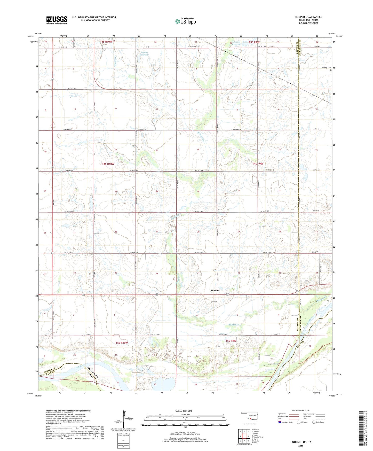
2022 topographic map quadrangle Hooper in the state of Oklahoma. Scale: 1:24000. Based on the newly updated USGS 7.5' US Topo map series, this map is in the following counties: Cotton, Jefferson, Clay. The map contains contour data, water features, and other items you are used to seeing on USGS maps, but also has updated roads and other features. This is the next generation of topographic maps. Printed on high-quality waterproof paper with UV fade-resistant inks.
Quads adjacent to this one:
West: Taylor
Northwest: Walters
North: Temple
Northeast: Corum
East: Waurika West
Southeast: Irving
South: Petrolia
Southwest: Charlie
Contains the following named places: Hastings Cemetery, Hooper, Oknoname 033002 Dam, Oknoname 033002 Reservoir, Oknoname 033003 Dam, Oknoname 033033 Reservoir, Pleasant Ridge Community Center, Temple Division, Whiskey Creek