MyTopo
Limestone Gap Oklahoma US Topo Map
Couldn't load pickup availability
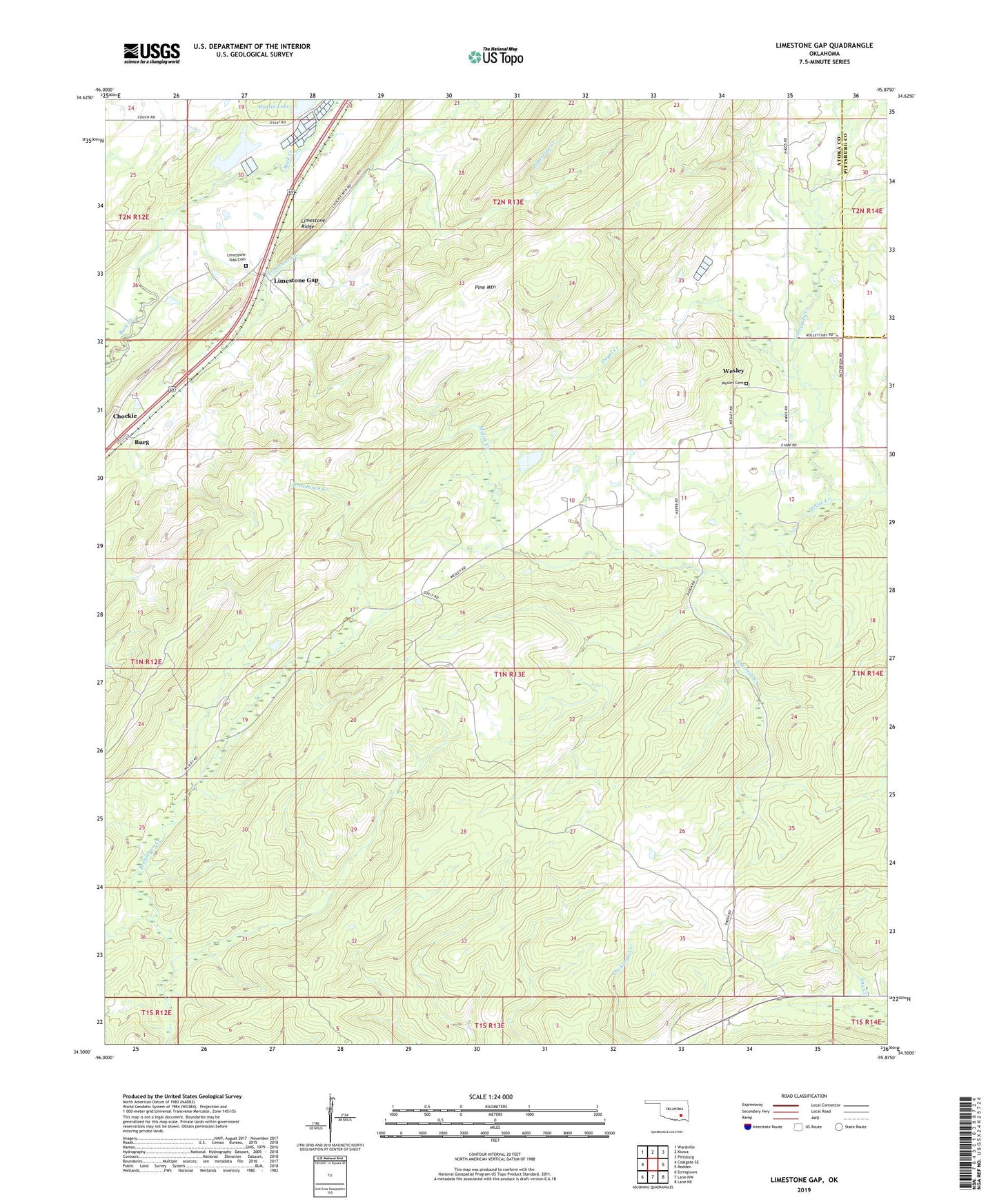
2022 topographic map quadrangle Limestone Gap in the state of Oklahoma. Scale: 1:24000. Based on the newly updated USGS 7.5' US Topo map series, this map is in the following counties: Atoka, Pittsburg. The map contains contour data, water features, and other items you are used to seeing on USGS maps, but also has updated roads and other features. This is the next generation of topographic maps. Printed on high-quality waterproof paper with UV fade-resistant inks.
Quads adjacent to this one:
West: Coalgate SE
Northwest: Wardville
North: Kiowa
Northeast: Pittsburg
East: Redden
Southeast: Lane NE
South: Lane NW
Southwest: Stringtown
This map covers the same area as the classic USGS quad with code o34095e8.
Contains the following named places: Burg, Chockie, Dow Lake, Dow Lake Dam, Doyal Creek, Gap, Ingersoll Creek, Limestone Creek, Limestone Gap, Limestone Gap Cemetery, Martin Lake, Nolleytuby Creek, North Atoka Division, Oknoname 005001 Dam, Oknoname 005001 Reservoir, Wesley, Wesley Cemetery