MyTopo
Snow Oklahoma US Topo Map
Couldn't load pickup availability
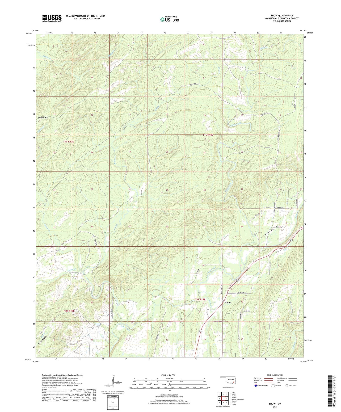
2022 topographic map quadrangle Snow in the state of Oklahoma. Scale: 1:24000. Based on the newly updated USGS 7.5' US Topo map series, this map is in the following counties: Pushmataha. The map contains contour data, water features, and other items you are used to seeing on USGS maps, but also has updated roads and other features. This is the next generation of topographic maps. Printed on high-quality waterproof paper with UV fade-resistant inks.
Quads adjacent to this one:
West: Dunbar
Northwest: Adel
North: Stanley
Northeast: Clayton
East: Wildhorse Mountain
Southeast: Cloudy
South: Finley
Southwest: Kosoma
This map covers the same area as the classic USGS quad with code o34095d4.
Contains the following named places: Caney Creek, Dunbar Mountain, Possum Creek, Pushmataha County, Snow, Snow Creek, Snow Post Office, Snow Valley, Turkey Creek, West Fork, ZIP Code: 74567