MyTopo
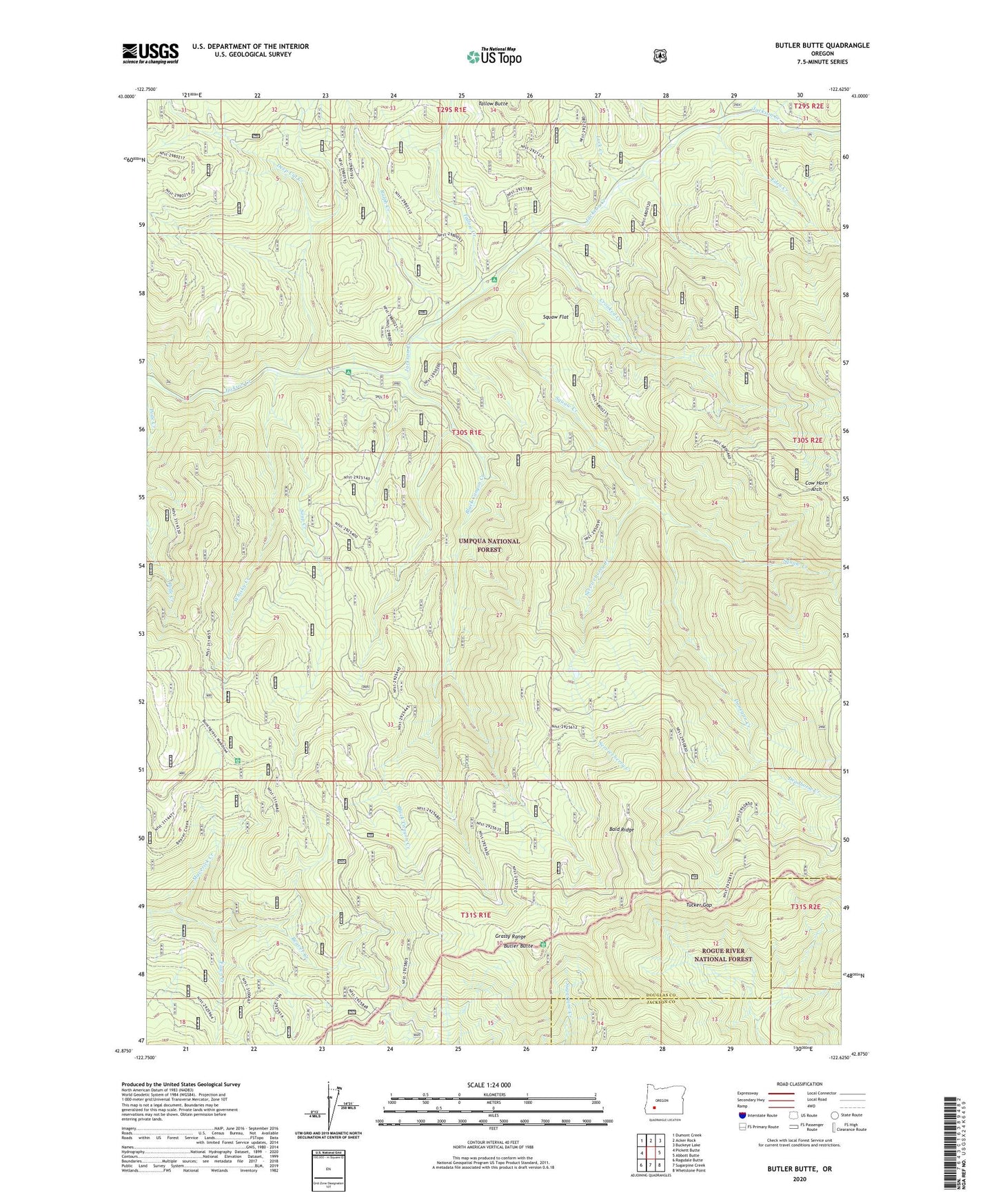
Butler Butte Oregon US Topo Map
Couldn't load pickup availability
Also explore the Butler Butte Forest Service Topo of this same quad for updated USFS data
2023 topographic map quadrangle Butler Butte in the state of Oregon. Scale: 1:24000. Based on the newly updated USGS 7.5' US Topo map series, this map is in the following counties: Douglas, Jackson. The map contains contour data, water features, and other items you are used to seeing on USGS maps, but also has updated roads and other features. This is the next generation of topographic maps. Printed on high-quality waterproof paper with UV fade-resistant inks.
Quads adjacent to this one:
West: Pickett Butte
Northwest: Dumont Creek
North: Acker Rock
Northeast: Buckeye Lake
East: Abbott Butte
Southeast: Whetstone Point
South: Sugarpine Creek
Southwest: Ragsdale Butte
This map covers the same area as the classic USGS quad with code o42122h6.
Contains the following named places: Bald Ridge, Billick Burn Trail, Black Canyon Creek, Butler Butte, Cover Recreation Site, Cow Horn Arch, Crooked Creek, Dead Horse Creek, Deep Cut Creek, Donegan Creek, Dumont Ranger Station, Eden Creek, Fawn Camp Trail, Fawn Creek, Freezeout Camp, Freezeout Creek, Grassy Range, Green Prairie, Luck Creek, Maverick Creek, Neal Camp Burn, North and South Trail, Ralph Creek, Serviceberry Camp, Serviceberry Creek, Soup Creek, Squaw Creek, Squaw Flat, Sugarpine Shelter, Tallow Butte, Tallow Creek, Tucker Gap, Twomile Creek, Whisky Camp, Whisky Creek, Worlds Tallest Sugarpine