MyTopo
Crane Prairie Oregon US Topo Map
Couldn't load pickup availability
Also explore the Crane Prairie Forest Service Topo of this same quad for updated USFS data
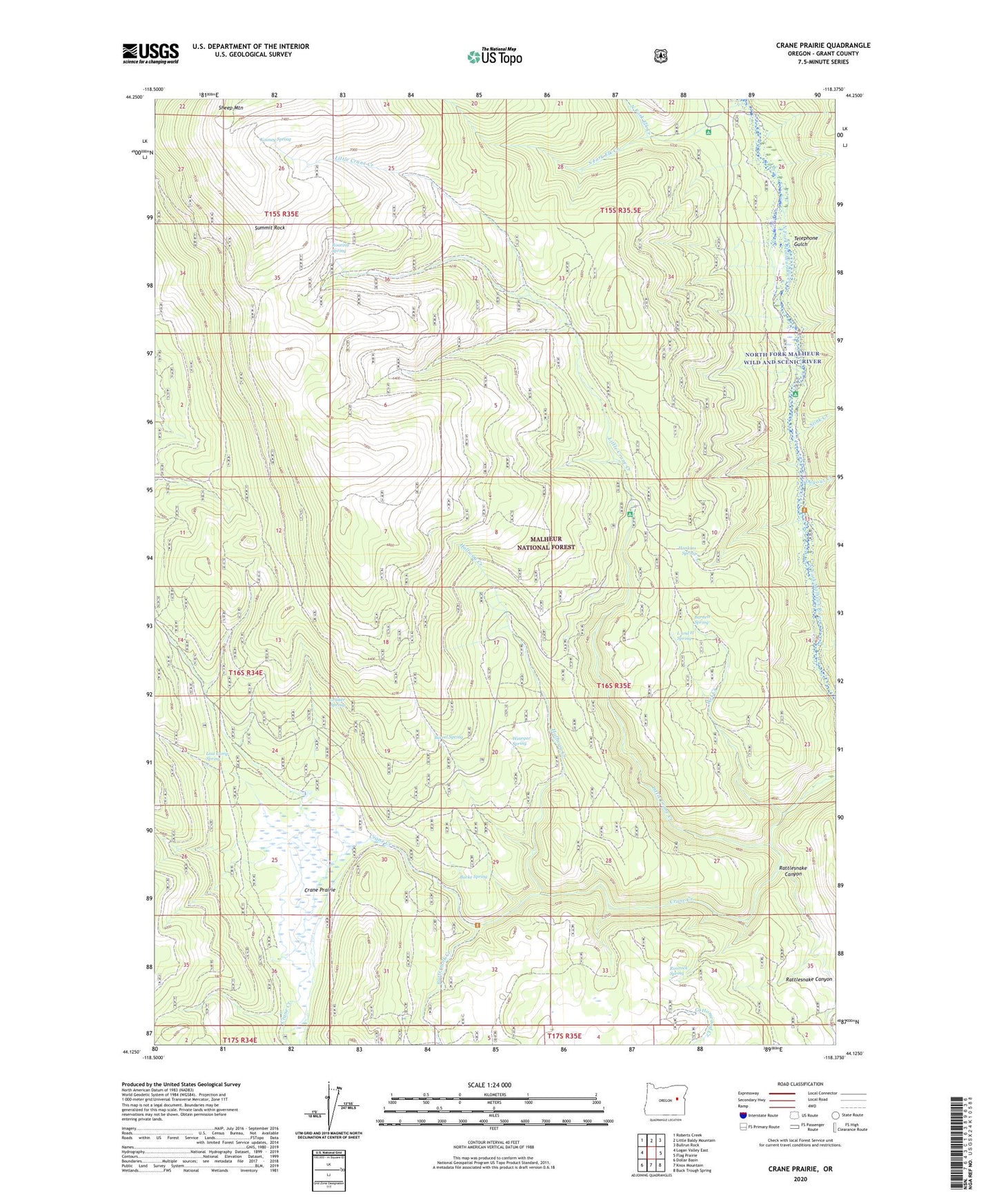
2023 topographic map quadrangle Crane Prairie in the state of Oregon. Scale: 1:24000. Based on the newly updated USGS 7.5' US Topo map series, this map is in the following counties: Grant. The map contains contour data, water features, and other items you are used to seeing on USGS maps, but also has updated roads and other features. This is the next generation of topographic maps. Printed on high-quality waterproof paper with UV fade-resistant inks.
Quads adjacent to this one:
West: Logan Valley East
Northwest: Roberts Creek
North: Little Baldy Mountain
Northeast: Bullrun Rock
East: Flag Prairie
Southeast: Buck Trough Spring
South: Knox Mountain
Southwest: Dollar Basin
This map covers the same area as the classic USGS quad with code o44118b4.
Contains the following named places: Barnett Spring, Barrel Spring, Burke Spring, Buttermilk Creek, Crane Prairie, Crane Prairie Guard Station, Cruiser Spring, Dugout Creek, Elk Creek Recreation Site, Halfway Creek, Hankins Spring, Kooney Spring, L and H Spring, Little Crane Creek, Little Crane Recreation Site, Lost Camp Spring, North Fork Cow Camp, North Fork Elk Creek, North Fork Malheur Recreation Site, North Fork Malheur Wild and Scenic River, Rattlesnake Canyon, Rimrock Spring, Roaring Spring, South Fork Elk Creek, Stink Creek, Summit Rock, Telephone Gulch, Wet Creek, Winegar Spring