MyTopo
Desolation Butte Oregon US Topo Map
Couldn't load pickup availability
Also explore the Desolation Butte Forest Service Topo of this same quad for updated USFS data
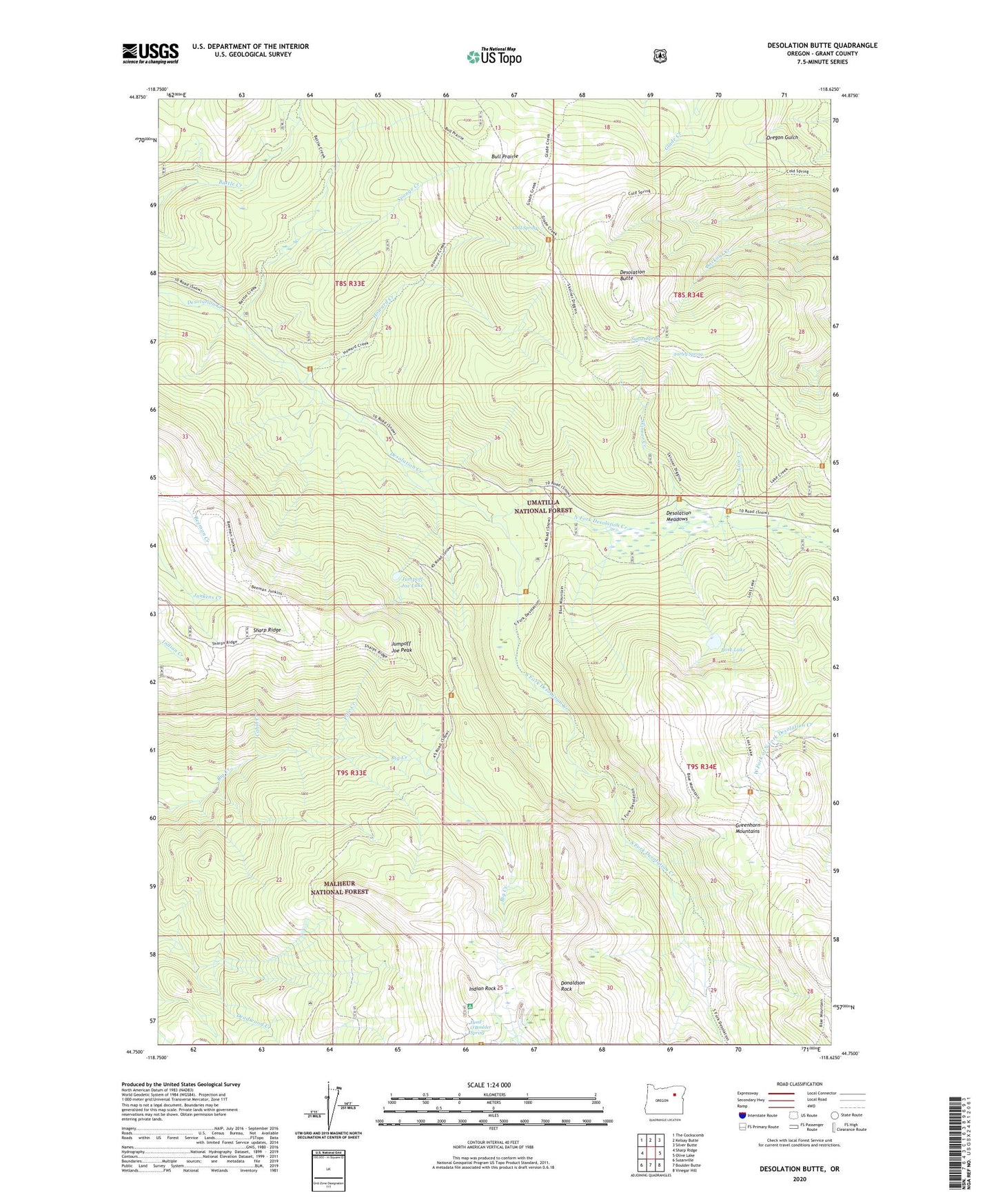
2024 topographic map quadrangle Desolation Butte in the state of Oregon. Scale: 1:24000. Based on the newly updated USGS 7.5' US Topo map series, this map is in the following counties: Grant. The map contains contour data, water features, and other items you are used to seeing on USGS maps, but also has updated roads and other features. This is the next generation of topographic maps. Printed on high-quality waterproof paper with UV fade-resistant inks.
Quads adjacent to this one:
West: Sharp Ridge
Northwest: The Cockscomb
North: Kelsay Butte
Northeast: Silver Butte
East: Olive Lake
Southeast: Vinegar Hill
South: Boulder Butte
Southwest: Susanville
This map covers the same area as the classic USGS quad with code o44118g6.
Contains the following named places: Battle Creek Trail, Bull Prairie, Cabin Creek, Cold Spring, Cold Spring Trail, Desolation Butte, Desolation Butte Lookout, Desolation Guard Station, Desolation Meadows, Donaldson Mine, Donaldson Rock, Farley Spring, Farley Spring Trail, Head O'Boulder Camp, Head O'Boulder Spring, Howard Creek, Indian Rock, Indian Rock Lookout Tower, Indian Rock Trail, Jumpoff Joe Camp, Jumpoff Joe Lake, Jumpoff Joe Peak, Jumpoff Joe Trail, Line Creek, Lost Camp, Lost Camp Trail, Lost Lake, Lost Lake Trail, Lower Howard Camp, Meadow Camp, North Fork Desolation Creek, Pole Creek, Princess Trail, Ranger Station Camp, Saddle Camp, Sharp Ridge, Skinner Creek, Skinner Mine, South Fork Desolation Creek, Sponge Creek, Sponge Creek Camp, Summit Camp, Sunset Spring, Sunset Trail, Upper Howard Camp