MyTopo
Devine Ridge North Oregon US Topo Map
Couldn't load pickup availability
Also explore the Devine Ridge North Forest Service Topo of this same quad for updated USFS data
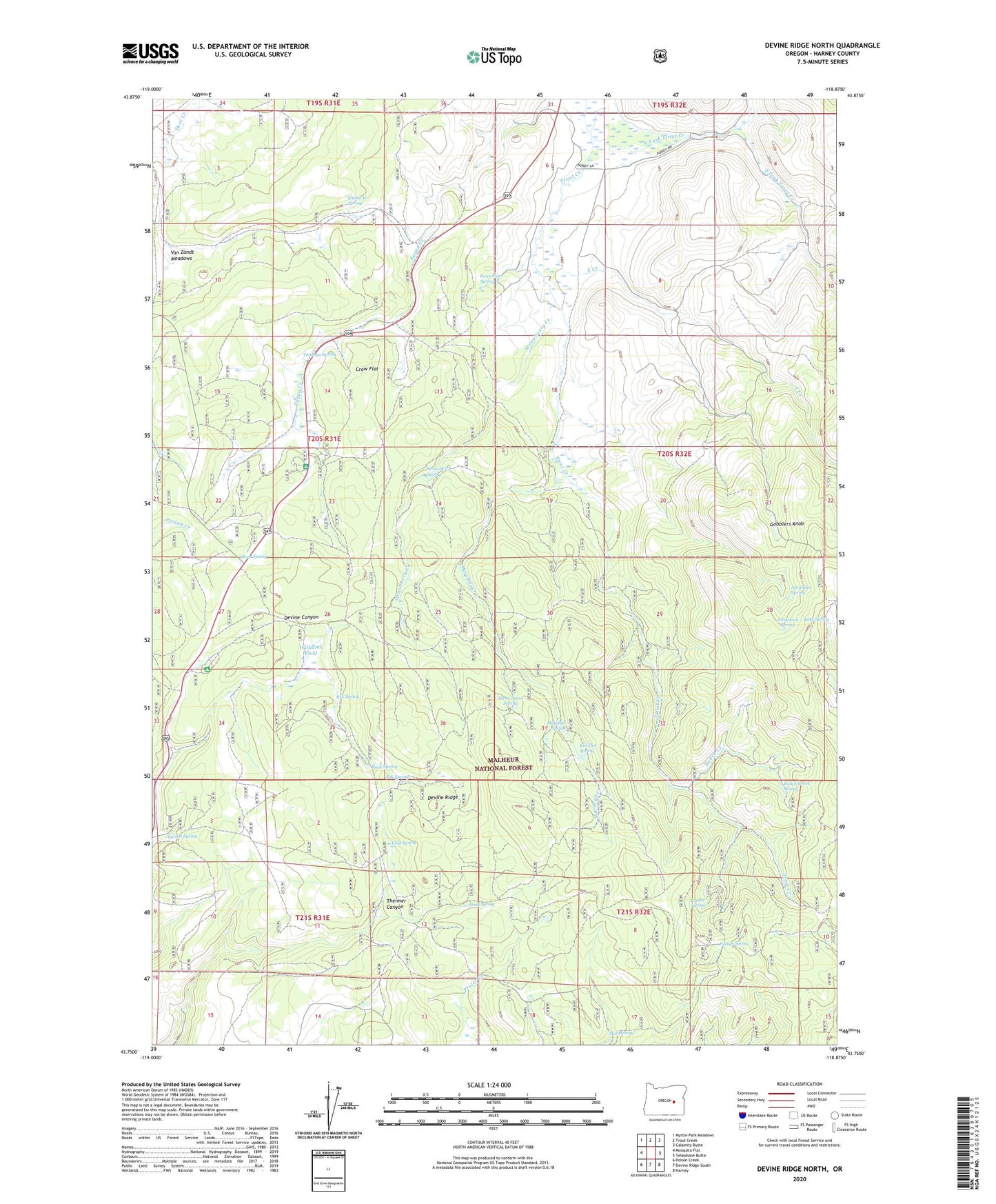
2023 topographic map quadrangle Devine Ridge North in the state of Oregon. Scale: 1:24000. Based on the newly updated USGS 7.5' US Topo map series, this map is in the following counties: Harney. The map contains contour data, water features, and other items you are used to seeing on USGS maps, but also has updated roads and other features. This is the next generation of topographic maps. Printed on high-quality waterproof paper with UV fade-resistant inks.
Quads adjacent to this one:
West: Mosquito Flat
Northwest: Myrtle Park Meadows
North: Trout Creek
Northeast: Calamity Butte
East: Telephone Butte
Southeast: Harney
South: Devine Ridge South
Southwest: Poison Creek
This map covers the same area as the classic USGS quad with code o43118g8.
Contains the following named places: Abraham Spring, Baker Corral, Boy Scout Cabin, Cold Spring, Cross Ranch, Crow Flat, Crow Flat Guard Station, Devine Ridge, Dickenson Ranch, East Creek, Flying W Spring, Gobblers Knob, Hardesty Ranch, Hi Desert Ski Area, Idlewild Recreation Site, Idol City Mines, Idol Post Office, Kid Flat Spring, King Spring, Larsen Spring, Lonesomehurst Post Office, Marshall Creek, Marshall Spring, Mud Spring, Nelson Ranch, North Fork Trout Creek, Pardee Spring, Parker Spring, Ponderosa Spring, Powerline Spring, Purdy Ranch, R K Spring, RIL Spring, Roach Creek, Roach Creek Spring, Rock Spring, Sand Spring, Shott Spring, South Fork Trout Creek, Strawberry Creek, Strawberry Spring, Summit, Temple Ranch, Three-Seven Spring, Tommys Spring, Van Zandt Meadows, Williams Field