MyTopo
Eagle Rock Oregon US Topo Map
Couldn't load pickup availability
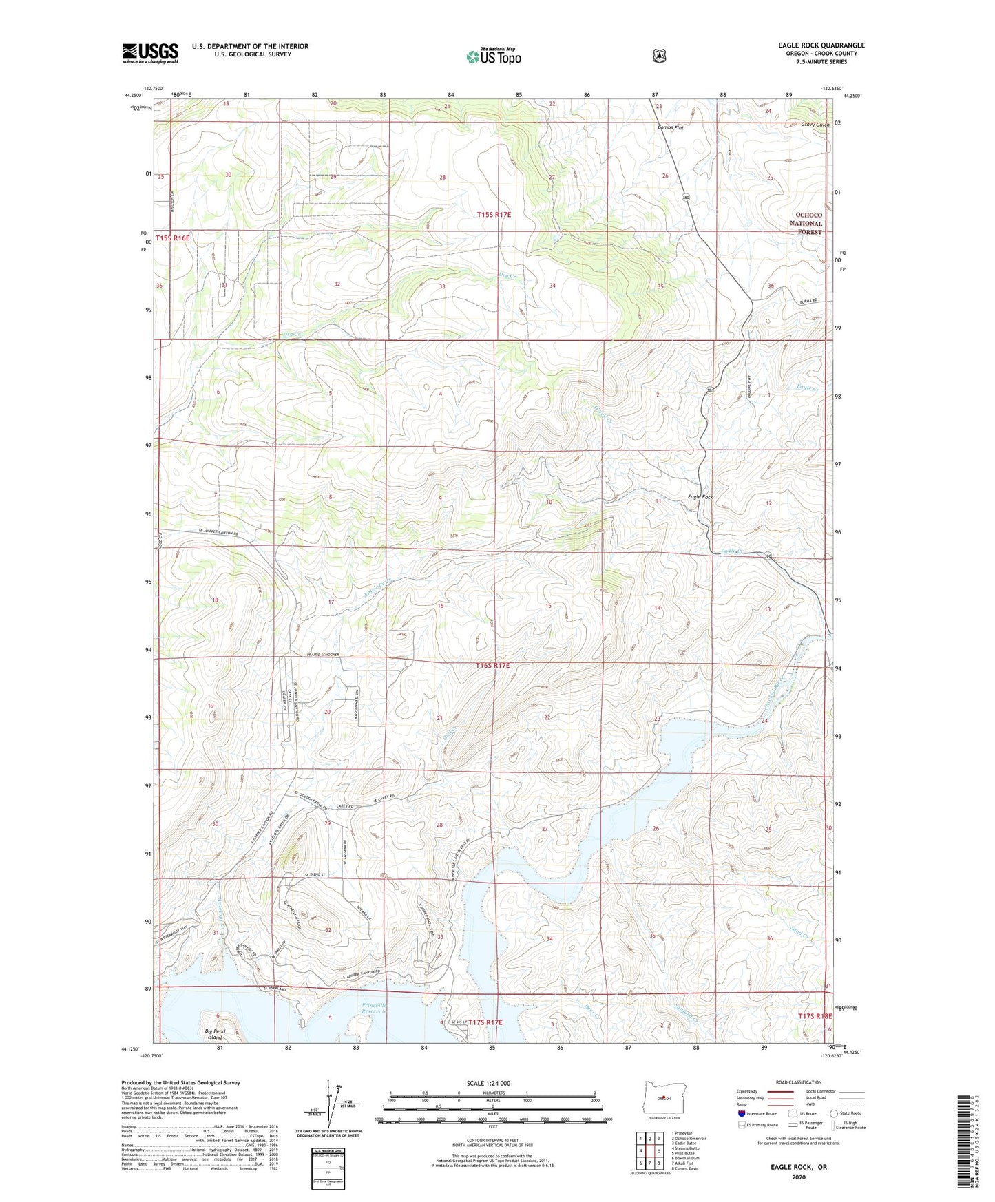
2020 topographic map quadrangle Eagle Rock in the state of Oregon. Scale: 1:24000. Based on the newly updated USGS 7.5' US Topo map series, this map is in the following counties: Crook. The map contains contour data, water features, and other items you are used to seeing on USGS maps, but also has updated roads and other features. This is the next generation of topographic maps. Printed on high-quality waterproof paper with UV fade-resistant inks.
Quads adjacent to this one:
West: Stearns Butte
Northwest: Prineville
North: Ochoco Reservoir
Northeast: Cadle Butte
East: Pilot Butte
Southeast: Conant Basin
South: Alkali Flat
Southwest: Bowman Dam
Contains the following named places: Antelope Creek, Bailey School, Big Bend Island, Carey Ranch, Deer Creek, Eagle Creek, Eagle Rock, Jasper Point Boat Ramp, Klaus Ranch, Long Hollow, Mayfield Ranch, O'Neil Creek, Owl Creek, Prineville Reservoir, Prineville Reservoir State Park Marina, Prinville Reservoir State Park Boat Ramp, Roberts Bay Boat Launch, Sand Creek, Sanford Creek, Way Ranch