MyTopo
Holland Point Oregon US Topo Map
Couldn't load pickup availability
Also explore the Holland Point Forest Service Topo of this same quad for updated USFS data
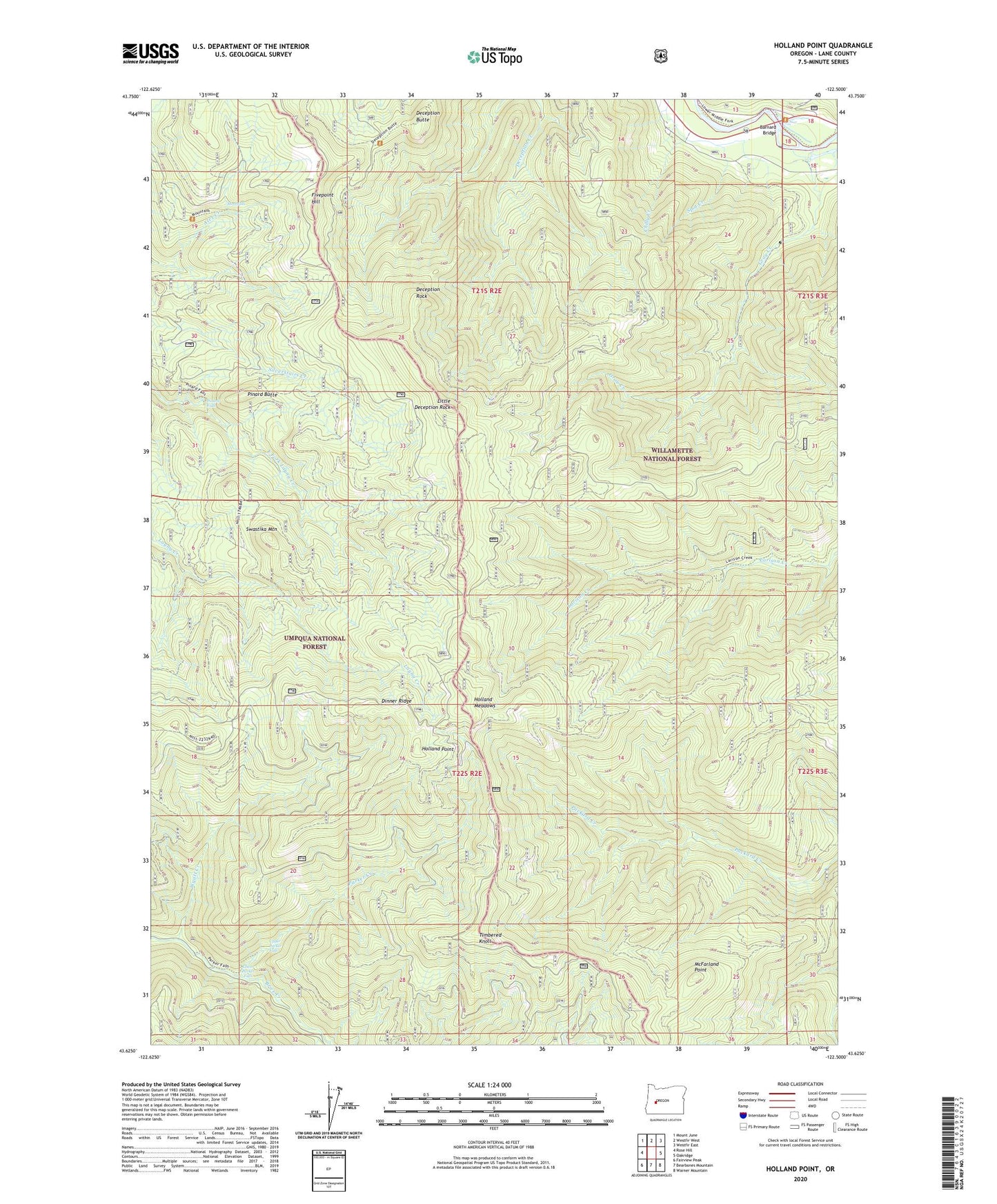
2023 topographic map quadrangle Holland Point in the state of Oregon. Scale: 1:24000. Based on the newly updated USGS 7.5' US Topo map series, this map is in the following counties: Lane. The map contains contour data, water features, and other items you are used to seeing on USGS maps, but also has updated roads and other features. This is the next generation of topographic maps. Printed on high-quality waterproof paper with UV fade-resistant inks.
Quads adjacent to this one:
West: Rose Hill
Northwest: Mount June
North: Westfir West
Northeast: Westfir East
East: Oakridge
Southeast: Warner Mountain
South: Bearbones Mountain
Southwest: Fairview Peak
This map covers the same area as the classic USGS quad with code o43122f5.
Contains the following named places: Barnard Bridge, Chilly Creek, Deception Butte, Deception Rock, Dinner Ridge, Dinner Ridge Way, Errin Campground, Ferrin Recreation Site, Fivepoint Hill, Gray Creek, Hill Post Office, Holland Meadows, Holland Meadows Trail, Holland Point, Larison Creek Trail, Little Deception Rock, Lower Parker Falls, McFarland Point, Moonfalls, Packard Creek Trail, Parker Creek, Pinard Butte, Pinard Falls, Spot Creek, Swastika Mountain, Swastika Mountain Trail, Timbered Knoll, Upper Parker Falls, Willamette Divide Trail, Wyatt Creek