MyTopo
Rose Hill Oregon US Topo Map
Couldn't load pickup availability
Also explore the Rose Hill Forest Service Topo of this same quad for updated USFS data
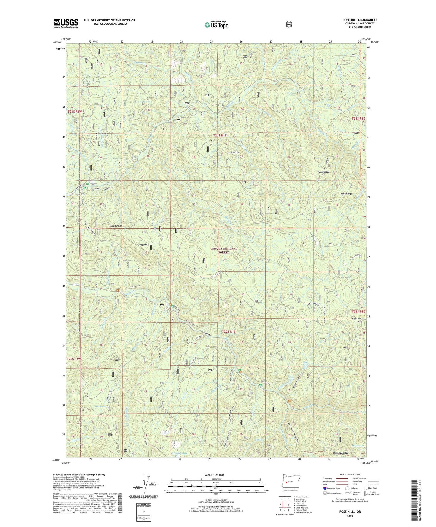
2024 topographic map quadrangle Rose Hill in the state of Oregon. Scale: 1:24000. Based on the newly updated USGS 7.5' US Topo map series, this map is in the following counties: Lane. The map contains contour data, water features, and other items you are used to seeing on USGS maps, but also has updated roads and other features. This is the next generation of topographic maps. Printed on high-quality waterproof paper with UV fade-resistant inks.
Quads adjacent to this one:
West: Culp Creek
Northwest: Kloster Mountain
North: Mount June
Northeast: Westfir West
East: Holland Point
Southeast: Bearbones Mountain
South: Fairview Peak
Southwest: Silica Mountain
This map covers the same area as the classic USGS quad with code o43122f6.
Contains the following named places: Adams Creek, Alex Creek, Blodgett Creek, Bonita Post Office, Cat Creek, Cedar Creek, Cedar Creek Recreation Site, Cedar Spring, Champion Creek, Crawfish Creek, Crawfish Lake, Curran Creek, Dinner Creek, Dog Creek, Donna Creek, Doris Creek, Doris Ridge, East Fork Layng Creek, East Fork Prather Creek, Green Rock Mine, Harvey Creek, Harvey Point, Herman Creek, Hobo Creek, Hobo Creek Recreation Site, Hotel Spring, Inch Creek, Junetta Creek, Kelly Ridge, Laying Creek Water Treatment Plant, Layng Creek Fossil Beds, Layng Creek Ranger Station, Lower Trestle Creek Falls, Lund Park Recreation Site, Marten Creek, Patterson Creek, Prather Creek, Rose Hill, Rujada Point, Rujada Post Office, Rujada Recreation Site, Saltpeter Creek, Silverstairs Creek, Spirit Falls, Sugarloaf Mountain, Trestle Creek, Upper Trestle Creek Falls, West Fork Prather Creek