MyTopo
Johnson Heights Oregon US Topo Map
Couldn't load pickup availability
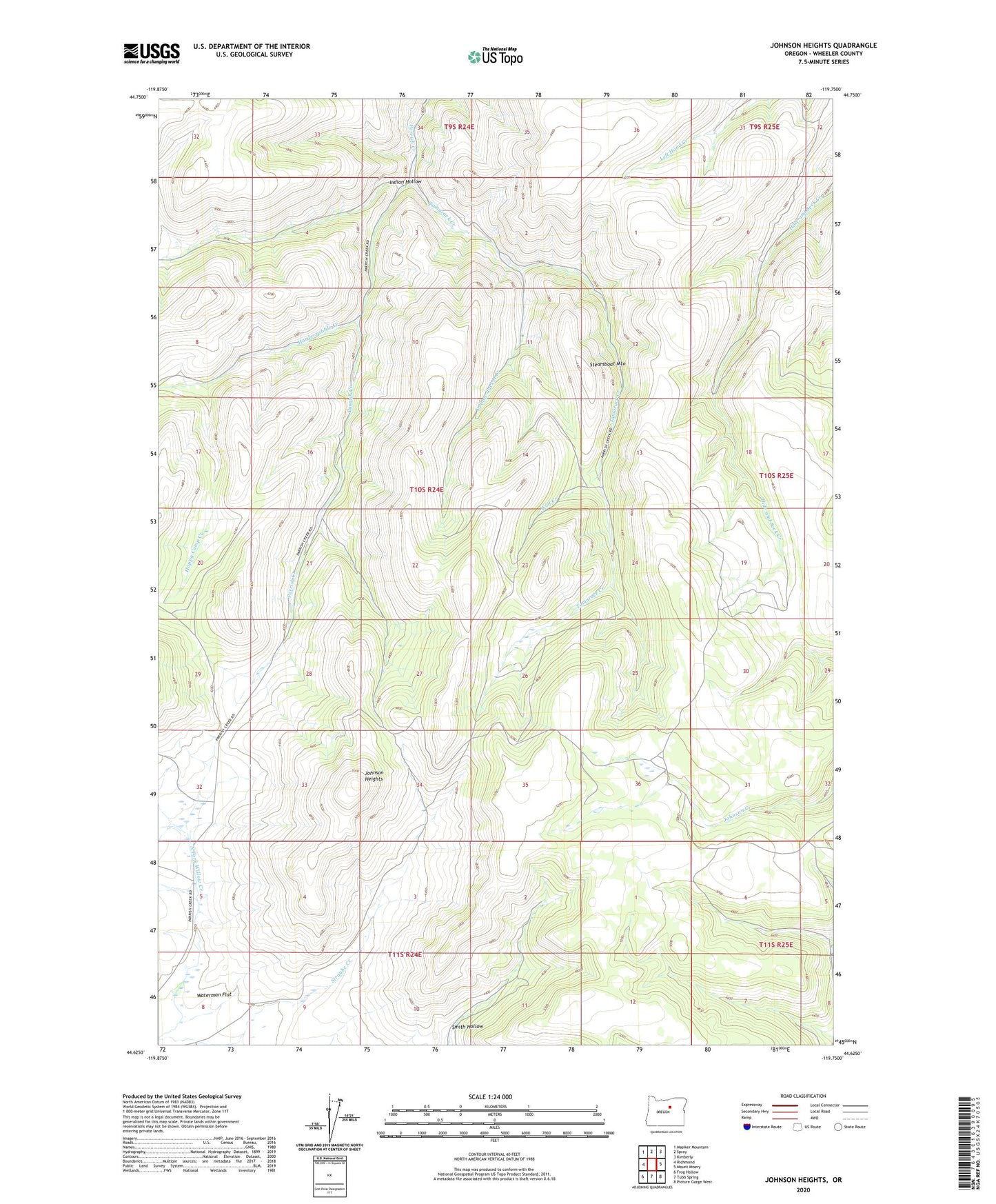
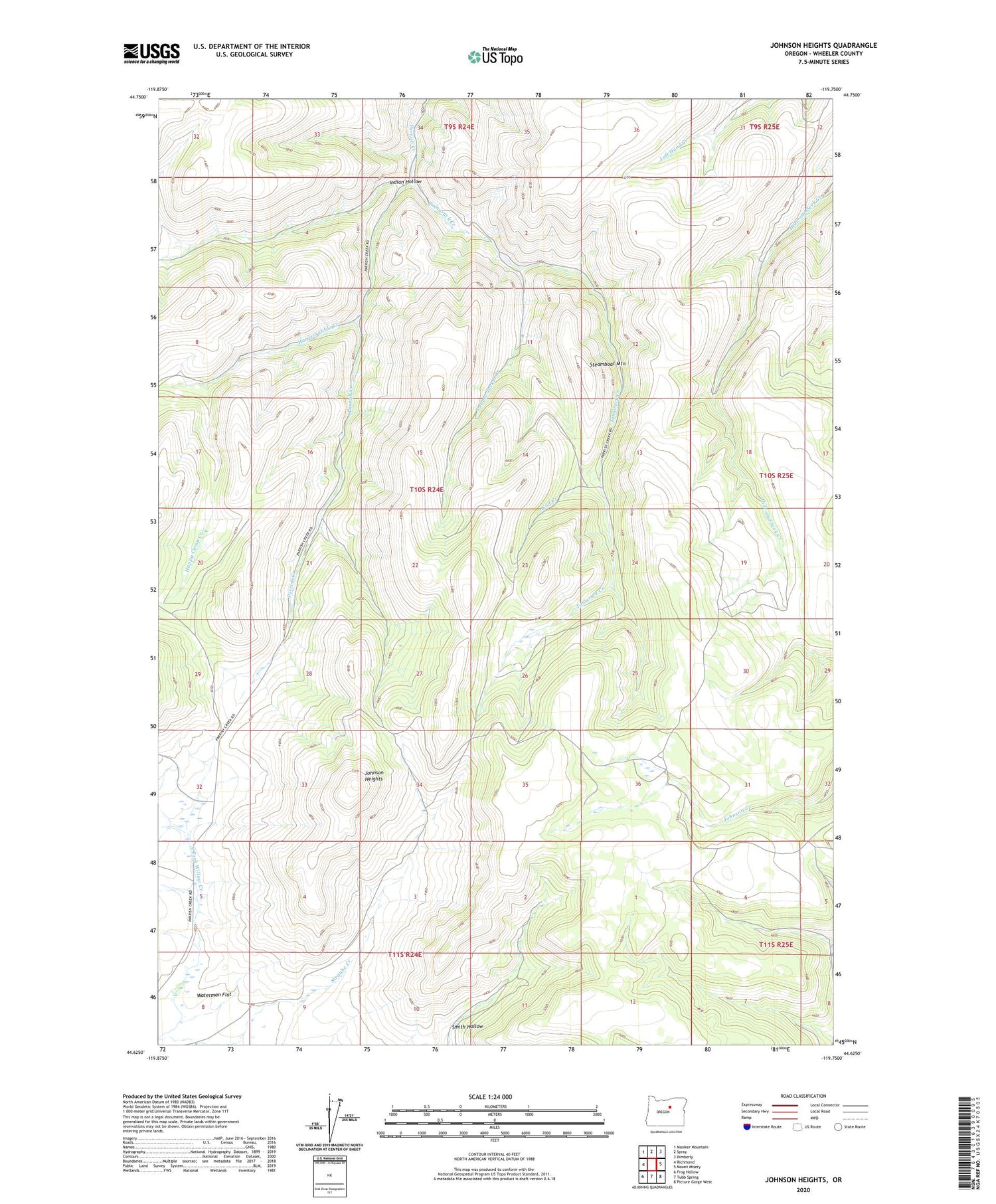
2020 topographic map quadrangle Johnson Heights in the state of Oregon. Scale: 1:24000. Based on the newly updated USGS 7.5' US Topo map series, this map is in the following counties: Wheeler. The map contains contour data, water features, and other items you are used to seeing on USGS maps, but also has updated roads and other features. This is the next generation of topographic maps. Printed on high-quality waterproof paper with UV fade-resistant inks.
Quads adjacent to this one:
West: Richmond
Northwest: Masiker Mountain
North: Spray
Northeast: Kimberly
East: Mount Misery
Southeast: Picture Gorge West
South: Tubb Spring
Southwest: Frog Hollow
Contains the following named places: Happy Camp Creek, Hardscrabble Creek, Indian Hollow, Johnson Heights, Smith Hollow, Steamboat Mountain, Straube Creek, Tamarack Creek, Wolf Creek, Yellow Jacket Creek