MyTopo
Jordan Creek Oregon US Topo Map
Couldn't load pickup availability
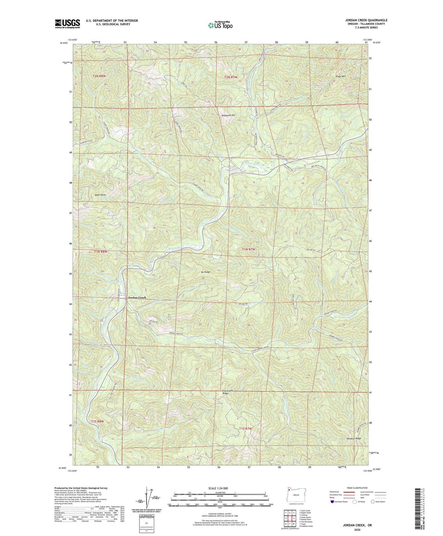
2023 topographic map quadrangle Jordan Creek in the state of Oregon. Scale: 1:24000. Based on the newly updated USGS 7.5' US Topo map series, this map is in the following counties: Tillamook. The map contains contour data, water features, and other items you are used to seeing on USGS maps, but also has updated roads and other features. This is the next generation of topographic maps. Printed on high-quality waterproof paper with UV fade-resistant inks.
Quads adjacent to this one:
West: Cedar Butte
Northwest: Cook Creek
North: Rogers Peak
Northeast: Cochran
East: Woods Point
Southeast: Gobblers Knob
South: Trask
Southwest: The Peninsula
This map covers the same area as the classic USGS quad with code o45123e5.
Contains the following named places: Archer Pond, Ax Ridge, Ben Smith Creek, Bend Creek, Bridge Creek, Buck Creek, Cedar Creek, Combs Creek, Diamond Hill, Diamond Mill OHV Staging Area, Dog Creek, Eagle Creek, Fox Creek, Fox Creek Ridge, Glenora, Haines Creek, Hann Creek, Holm Creek, Hoyt Creek, Jones Creek, Jones Creek Campground, Jordan Creek, Jordan Creek OHV Staging Area, Keenig Campground, Keenig Creek, Kings Mountain, Lees Camp, Lee's Camp Post Office, Lehmam Creek, Lester Creek, Luebke Creek, Max Creek, Moore Creek, Muesial Creek, North Fork Wilson River, Pennock Creek, Phelps Creek, Rhem Creek, Rhinehart Creek, Runyon Creek, Ryan Creek, Ryan Creek Reservoir, Sargent Creek, Scotty Creek, Smith Homestead, South Fork Jordan Creek, South Wolf Creek, Spaur Creek, Stanley Creek, Tillamook Forest Center, West Fork North Fork Wilson River, Wilson, Wilson Falls, Wilson Post Office, Wilson River Picnic Ground, Wilson River Safety Rest Area, Wolf Creek, Wolf Point